Welcome to Terrain Surveys
Topographical surveys quoted in 48 hours
- ISO 9001 Certified for Quality Assurance
- Expert Team
- Fully In-House
- Nationwide Coverage
Get a free quote
Request a free, no-obligation quote for your project today.
What customers say about Terrain Surveys
Reviews
What are topographical surveys?
Accreditations
Essential Information
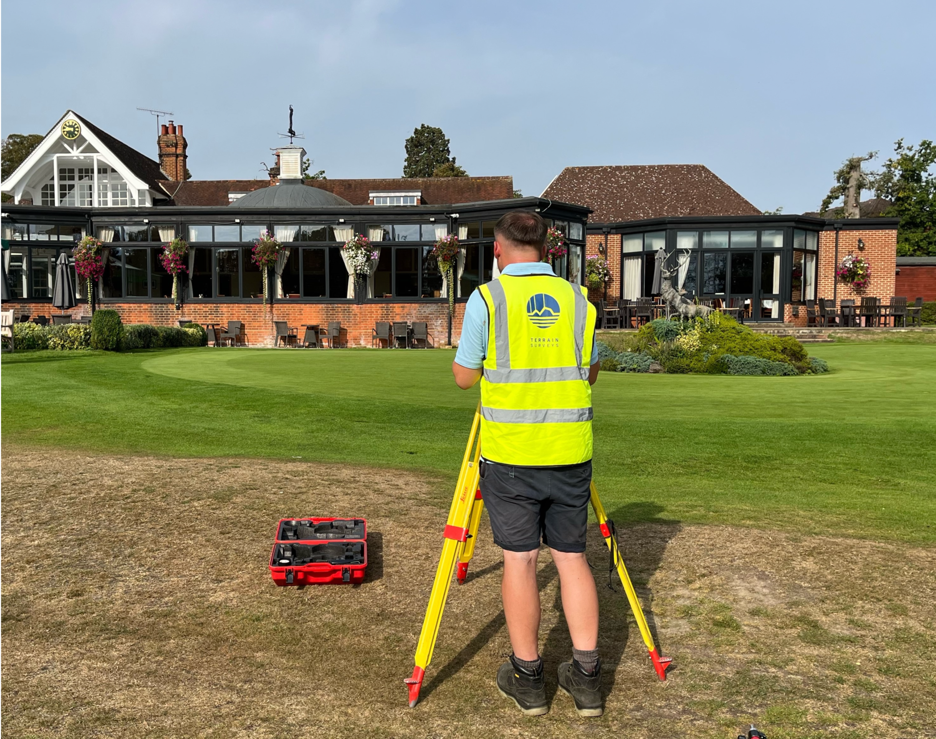
Topographical Surveys
6 key reasons to choose Terrain Surveys
Why us
Experienced
Established in 2004 by three founding directors determined to improve surveying standards, Terrain Surveys Ltd was created with a commitment to excellence.Highly rated
Terrain Surveys strives to be the survey company of choice through a wide scope of knowledge and a constant drive for excellence. We pride ourselves on the quality of service provided, including customer service, survey deliverables, training, education, and the systems we operate.Focus on sustainability
As a leading provider of measured survey services, Terrain Surveys understands the critical role our work plays in shaping the built environment. We are committed to integrating sustainable practices into every aspect of our operations.Qualified and accredited
Terrain Surveys Ltd holds the ISO 9001:2015 accreditation, reflecting our commitment to quality management systems and consistent service delivery. Additionally, our team includes professionals with various industry-specific qualifications and certifications, such as membership in the Royal Institution of Chartered Surveyors (RICS) and the Chartered Institution of Civil Engineering Surveyors (CICES).Diverse and growing team
Our strength lies in our team, whose experience and knowledge, coupled with investment in training and technology, enable efficient work and the production of high-quality, accurate measured surveys that meet clients' strict deadlines.Nationwide coverage
Terrain Surveys provides comprehensive national coverage across the UK, ensuring clients receive consistent, high-quality surveying services wherever they are. With strategically located offices, the company is well-positioned to deliver efficient and tailored solutions to meet a variety of client needs.
TEstimonials
Reviews from happy customers
Find out what our valued clients have to say about us and the services we provide.
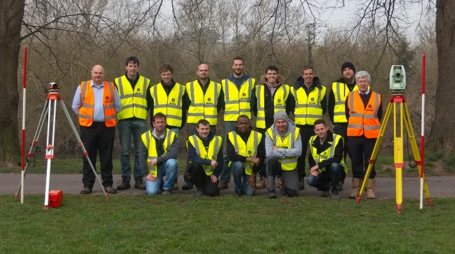
If you would like to discuss a project please contact our team
Get in Touch
We'd love to hear from you! Whether you have a question, need assistance, or want to discuss a project, feel free to reach out.
Questions? We're glad you asked.
FAQS
The purpose of a Topographical Survey is to gather detailed information about the physical features of a piece of land. This survey helps map natural and man-made features, such as contours, elevation changes, trees, roads, buildings, and utilities. It is crucial for architects, engineers, and developers in the design and planning stages of construction, ensuring that projects can be completed accurately and in compliance with local regulations. The data from a topographical survey assists in understanding the land’s layout, drainage patterns, and any potential challenges.
A Topographical Survey includes the following types of data:
- Land Elevation and Contours: Elevation levels and contour lines, which show the rise and fall of the land.
- Natural Features: Such as rivers, streams, trees, and other vegetation.
- Man-made Features: Roads, buildings, walls, fences, and utility lines like sewage, water pipes, and electricity cables.
- Property Boundaries: Clear demarcation of the land’s boundaries, often including legal descriptions.
- Other Structures: Features like drainage systems, wells, and retaining walls. The survey may also record specific measurements of the distances between features and any changes in elevation across the land.
The duration of a Topographical Survey depends on several factors such as the size of the land and the complexity of the terrain.
To get an accurate timeframe contact our experts by filling out the form below.
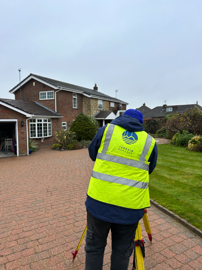
We'd love to hear from you
Get a free quote ONLINE OR CALL
+44(0)143 884 1300Request a free, no-obligation quote for your project today.

