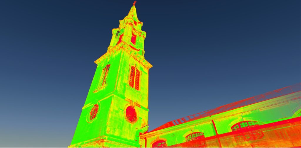
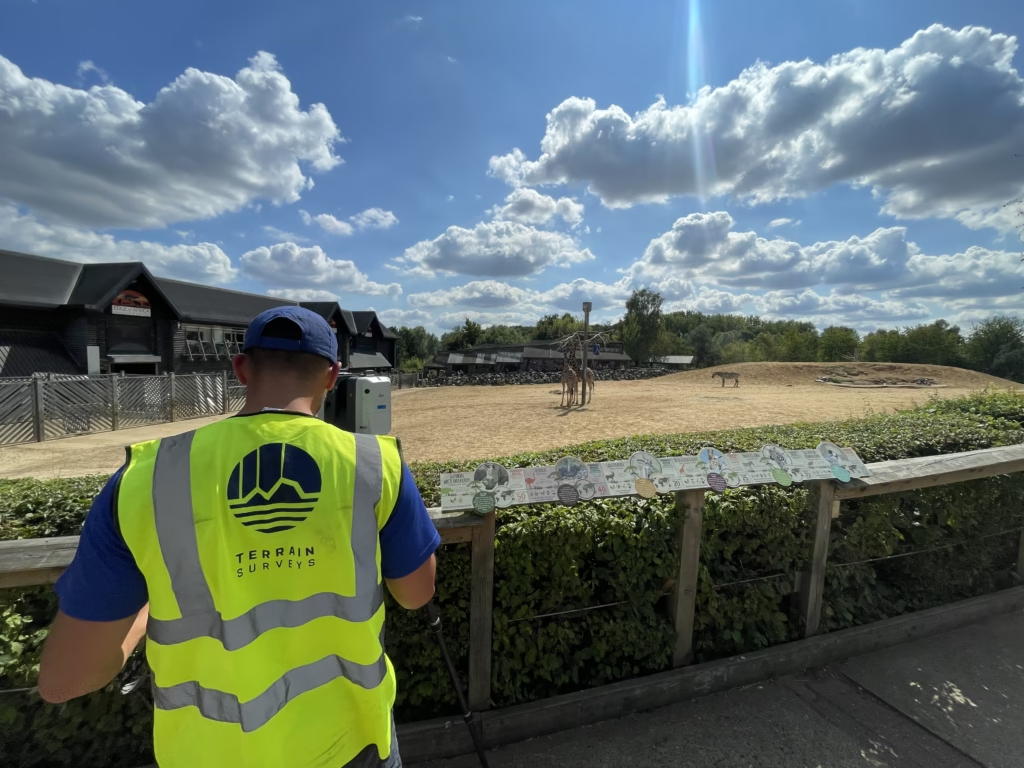
When structural engineers Mason Navarro Pledge were appointed by the Diocese of London to investigate possible sideways movement of the bell tower, Terrain Surveys were called in to support the project. By setting up a laser scanner in positions opposite the church and focusing on the vertical walls of the structure, Terrain Surveys captured a highly detailed point cloud which allowed accurate measurements to be taken.
According to David Mason of Mason Navarro Pledge, “We have worked with Terrain Surveys on many projects and they have always been responsive and customer focused, as well as producing high quality drawings and 3D models. We required a high level of accuracy for the scanning work at St. Vedast church, so immediately thought of Terrain.”
3D laser scanning is a technique which is used to accurately survey buildings, facades and surrounding landscapes, A 3 dimensional point cloud is captured by the laser scanner to allow accurate drawings of historical features, uneven and sloping surfaces to be produced in design software as and when required following the initial survey.
For more information about 3D laser scanning, please contact John Lane or Colin Wheeldon on 01462 841300.


