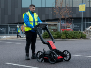
Before any digger moves earth or tarmac’s torn up, there’s one golden rule in the construction game: know what’s below. That’s where EML surveys come in. Short for Electromagnetic Location, an EML survey is one of the most widely used — and cost-effective — methods to trace underground utilities.
Whether you’re planning a new housing estate, digging up a road for fibre installs, or just need to verify service routes, understanding what an EML survey involves (and what it doesn’t) could save your project from unexpected delays, utility strikes, and five-figure fines.
Let’s break it down.
What is an EML Survey?
Definition and Core Principles
An EML survey uses electromagnetic signals to locate buried conductive materials. It’s a go-to method for tracing metallic pipes and cables quickly and non-intrusively.
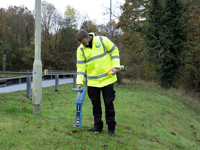
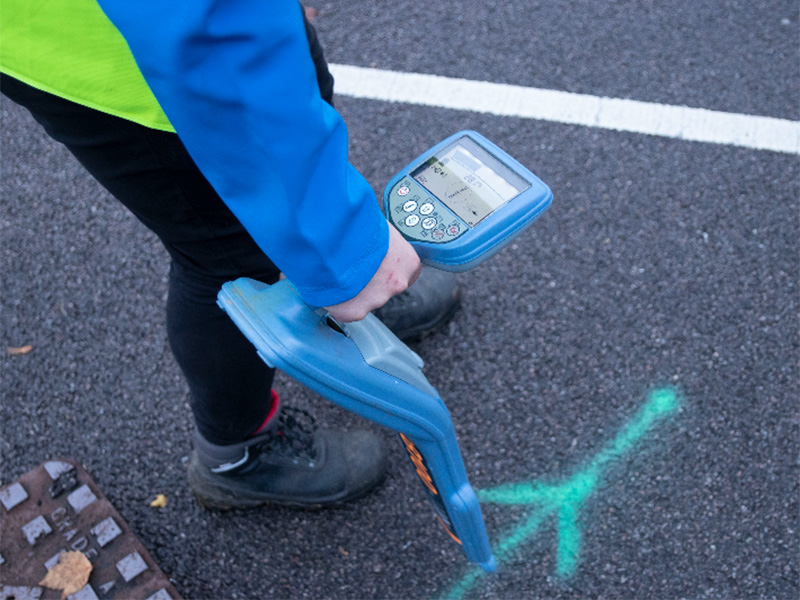
The process involves a transmitter and receiver. The transmitter induces a signal into the utility (if it’s accessible), while the receiver picks up the re-emitted field. This gives surveyors a traceable line and often a depth reading too.
Common targets include:
- Live and dead electricity cables
- Metallic water and gas mains
- Telecoms ducts (if they contain a tracer wire)
You might also hear EML surveys referred to as “cat & genny” surveys (short for Cable Avoidance Tool and Signal Generator).
Pro tip: Always combine EML with visual inspection and a review of utility records. Relying solely on EML is not good practice.
How Does It Work?
Passive Detection
This method detects naturally occurring signals — mainly from live power cables. It’s quick and doesn’t require direct contact, but it’s limited to active services only.
Active Detection
Here, we use a signal generator to apply a traceable frequency to a known utility. This can be done in three ways:
- Direct connection: Physically clamp onto an exposed cable or pipe.
- Induction: Place the transmitter above ground — ideal when direct connection isn’t possible.
- Sonde tracing: A small device (sonde) is pushed down a duct or drain, emitting a signal we can trace with the receiver.
Estimating Depth
Most modern receivers can estimate the depth of a service — provided the signal is strong and stable. Just keep in mind: this is a rough depth, not an exact measurement.
Tools & Equipment Used
- EM Locator (Receiver): Detects electromagnetic fields and traces routes.
- Signal Generator (Transmitter): Emits traceable frequencies onto conductors.
- Sonde: A battery-powered signal device used to trace non-metallic ducts or drains.
Other equipment may include:
- Flexrods for pushing sondes
- Pipe locators
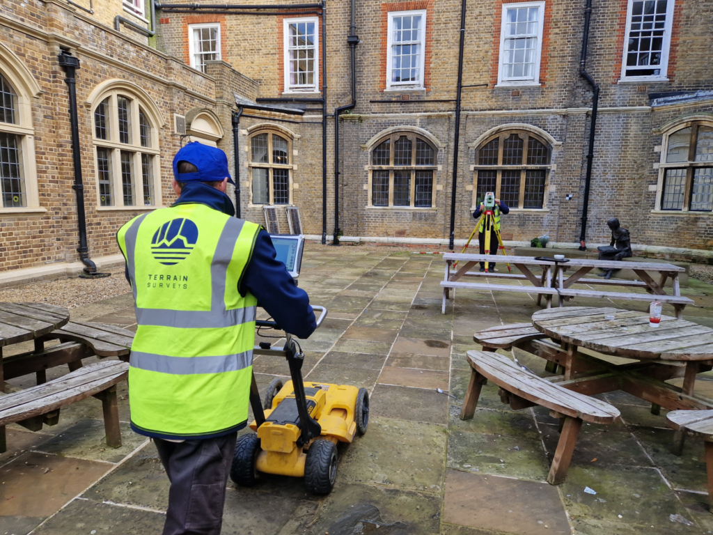
- GPR units (when doing combined surveys)
What Can an EML Survey Detect?
Typical Utility Types
- Live power cables (via passive mode)
- Metallic pipes (with direct or induced signal)
- Cables with tracer wires
- Plastic ducts or drains (if a sonde is inserted)
EML is highly effective on conductive materials. But it’s got blind spots.
Limitations of EML
Can’t detect:
- Plastic, clay or ceramic pipes with no tracer wire
- Fibre optics (unless paired with a metallic duct or trace wire)
- Timber ducts or other non-conductive materials
Accuracy is affected by:
- Depth of burial (deep utilities give weaker signals)
- Interference (e.g. reinforced concrete or other buried conductors)
- Surface conditions (urban areas can create signal clutter)
When and Why is an EML Survey Used?
Typical Use Cases
You’ll typically see EML surveys used before:
- Excavation or groundwork — to locate and mark buried services before digging
- Planning and design — giving architects, engineers, and consultants reliable below-ground data so they can plan designs accordingly
- Utility record verification — because existing records are often incomplete or outdated
- PAS 128 surveys — as a core method for delivering B2 survey levels (more on that later)
Whether you’re working on a new build, a road widening scheme, or retrofitting infrastructure in a city centre, an EML survey is your first step in safe, compliant utility detection.
Health & Safety Considerations
EML isn’t just a technical check — it’s a critical health and safety measure.
Here’s why:
- Reduces risk of strikes: Accidental contact with a live cable or gas main can be catastrophic
- Complies with CDM regs: A clear utility map supports safe site planning
- Aligns with HSG47: The Health and Safety Executive’s guidance on avoiding danger from underground services requires proper location techniques — EML is a key part of that
If you’re a principal contractor or designer, an EML survey ticks several of your legal boxes.
EML vs. GPR: What’s the Difference?
EML isn’t the only game in town when it comes to underground detection. So how does it stack up against GPR — and when should you use both?
Electromagnetic Location (EML)
Strengths:
- Highly effective for metallic services
- Quick to deploy
- Cost-effective for simple tracing
Weaknesses:
- Can’t detect non-conductive materials
- Susceptible to interference
- Limited in congested areas
Ground Penetrating Radar (GPR)
GPR works by sending radar pulses into the ground and reading the reflected signals. It’s ideal for:
- Plastic or ceramic pipes
- Voids, tanks, or unknown features
- Congested utility zones
But: GPR needs a clean surface (no standing water), good soil conditions, and a trained operator. It’s also slower and more expensive than EML.

Best Practice: Combined Surveys
The smartest approach?
Use both.
PAS 128 — the British Standard for utility detection — recommends a combined EML + GPR survey for B2 or higher classification. This ensures you’re covering both conductive and non-conductive assets.
Think of it like this:
EML finds the metal. GPR finds the rest.
How Much Does an EML Survey Cost?
Key Factors That Influence Price
Let’s address the elephant in the room: price.
There’s no one-size-fits-all number, but here’s what will affect your quote:
- Size of the site — more area = more time = higher cost
- Surface type — grass is easy; tarmac or concrete requires more effort
- Access conditions — tight urban spaces or heavy traffic areas slow down survey time
- Utility density — a busy street with overlapping services will take longer to map than a greenfield plot
- Deliverables required — Do you just need a mark-up, or a full CAD and report output?
- Need for GPR/manhole lifting? — Combined methods or additional access work raises the scope
Typical Price Ranges
Here’s a rough breakdown of what you can expect to pay for an EML survey in the UK:
| Site Type | Estimated Cost |
| Small/simple site (e.g. front garden, small plot) | £450–£750 |
| Medium site (e.g. car park, cul-de-sac, small business park) | £750–£1,200 |
| Large/complex site (e.g. city streets, industrial zones, multi-service areas) | £1,200+ |
Add-on services like GPR, manhole lifting, or full PAS 128 compliance will push the cost higher.
If you need a Level B PAS 128 survey with both EML and GPR methods, you’ll typically be looking at the £1,200–£2,000 bracket for a typical medium site — depending on complexity and deliverables.
Cost vs. Risk: The Business Case
Here’s the real question: Is it worth it?
Let’s compare the cost of an EML survey to the risks of skipping it:
- Striking a live electricity cable: Fines, site shutdowns, serious injury or worse — often £5,000–£50,000 in damages
- Damaging fibre optics: Could knock out internet for an entire street or business park — that’s serious liability
- Project delays: A misidentified or untraced service can cause weeks of delay, costing thousands in labour and plant hire
When you look at it like that, a £750 survey starts to look like a bargain.
What Will You Receive After an EML Survey?
So, what do you actually get once the survey’s done?
Deliverables Provided
- On-site utility mark-up: Most often spray paint, flags, or temporary markings showing detected services
- Drawings:
- CAD (.dwg) format for integration into design workflows
- PDF plans for easy sharing
- Optional utility survey report:
- Methodology used (EML, GPR etc.)
- Conditions encountered
- Limitations of the results
- PAS 128-compliant outputs (if specified)
- Optional integration:
- Combine results with a topographic survey
- Feed into a BIM model for digital twin use
This deliverable set gives you both the physical site mark-up and a digital record for future reference.
Choosing the Right Provider for EML Surveys
Not all utility surveys are created equal. And not every surveyor has the right kit — or the know-how — to interpret it properly. Here’s what to look for.
What to Look For
- Specialist experience:
You want a surveyor who does underground utility surveys day in, day out — not just topographic or building surveys. Ask for recent project examples.
- Up-to-date equipment:
Reliable results depend on signal strength and data interpretation. Make sure they’re using calibrated, industry-grade receivers, generators, and sondes.
- Dual-method capability (EML + GPR):
Providers who only offer EML might leave you exposed to undetected non-conductive services. A full-service firm will recommend when and why to deploy both.
- Accreditation & compliance:
Look for:
- TSA member (The Survey Association)
- ISO 9001 certification (quality assurance)
- CSCS-qualified operatives
- CHAS or Acclaim for health and safety
- Clear deliverables:
Make sure you get what you need — not just what’s standard. A good provider will tailor outputs to your project (e.g. CAD, GIS layers, PDF plans, integration with topographic or BIM data).
Why Terrain Surveys?
We’ve been delivering professional, accurate utility surveys across the UK since 2004. And when it comes to EML surveys, we tick all the right boxes.
Here’s what makes us different:
Decades of experience: We’ve completed thousands of utility and land surveys for engineers, architects, and contractors — across highways, housing, schools, hospitals and more.
Dual-method expertise: Our teams are trained and equipped to carry out combined EML and GPR surveys to full PAS 128 standards. That means you get maximum accuracy and peace of mind.
Seamless integration: Need your EML data as part of a topographic survey or BIM-ready model? No problem. We’ll plan and deliver it all in one integrated package.
Accreditation and quality:
We’re:
- ISO 9001 certified
- Constructionline Gold members
- Fully TSA-compliant
- Health & Safety SSIP accredited
UK-wide coverage: With offices across Hertfordshire, the Midlands, Bristol, and the South East, we can deploy expert teams wherever your site is.
Personal service: You’ll work directly with knowledgeable, approachable surveyors — no middlemen, no jargon, just clear guidance.
Get the Full Picture with Terrain Surveys
An EML survey is one of the fastest, simplest ways to protect your site from underground hazards — but it only works when it’s done right.
Whether you’re preparing for a dig, verifying utilities, or designing a complex development, Terrain Surveys gives you the clarity you need. We combine best-in-class tools with years of expertise to deliver results you can trust.
Ready to go?
Or call us to discuss your site. No jargon. No pressure. Just clear advice from professional surveyors.


