UK Donation of Hydrographic Survey Equipment to Ukraine
Support comes in many forms - in September the UK donated £1.6 million worth of hydrographic surveying equipment to Ukraine which will…
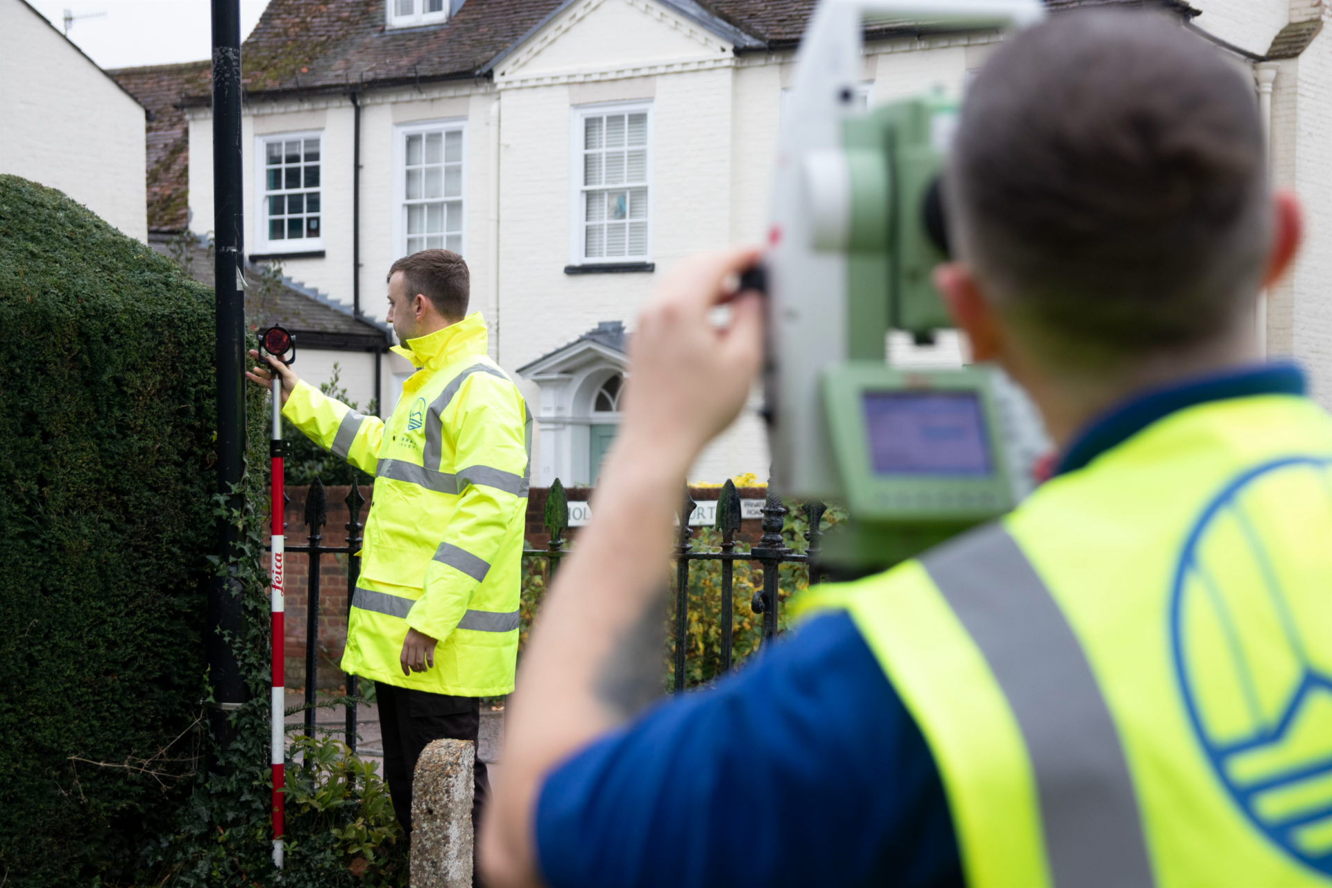


Support comes in many forms - in September the UK donated £1.6 million worth of hydrographic surveying equipment to Ukraine which will…
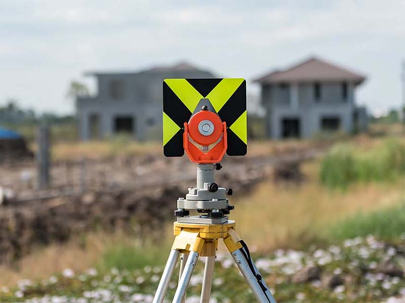
If you’re buying a new property, it’s normally a condition of your mortgage that you arrange for a survey to check for…

The implementation of building information modelling (BIM) in construction projects involves the digital representation of the physical and functional characteristics of the…

The government is looking to mandate the use of BIM standards on high-rise residential projects over 18m

New technology including drones is increasingly being used by contractors to reduce the risks of falls from height, which could be useful…
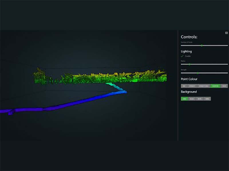
Many historical projects have great significance for a location’s cultural heritage, and indeed its people. For the team at Historic England, this is…

Darren Smith, digital buildings solutions adviser at the Electrical Contractors’ Association, looks at figures that reveal there’s still a long way to…

The vast majority of businesses that stockpile materials such as aggregates or minerals, or in this case wood chips, are now computing…

Research undertaken under a Collaborative Doctoral Partnership between Historic England and the University of Reading is moving beyond the field of 3D…
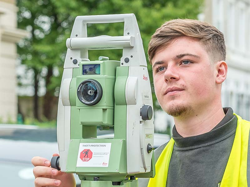
When complex or large environments need to be documented, laser scanners are a practical and economical solution. Laser scanning – also known…

The British government has announced backing for ground-breaking research analysing satellite images that will better predict the future impact of climate change…
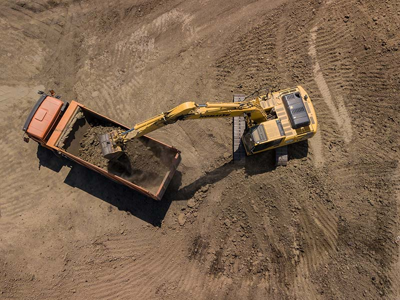
Over in Spain, the BBC reported the use of a digger and drone to help excavate land in preparation for a wind…

The UK BIM Alliance is calling on the industry to take part in its first state of the nation survey in a…
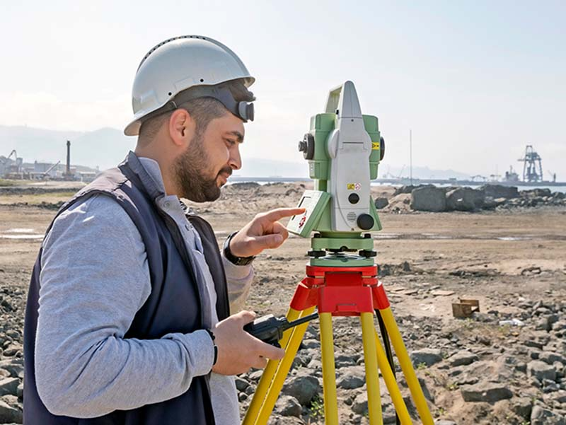
Research finds that UAV Photogrammetry can accurately, reliably, and economically compete with traditional terrestrial mapping methods.
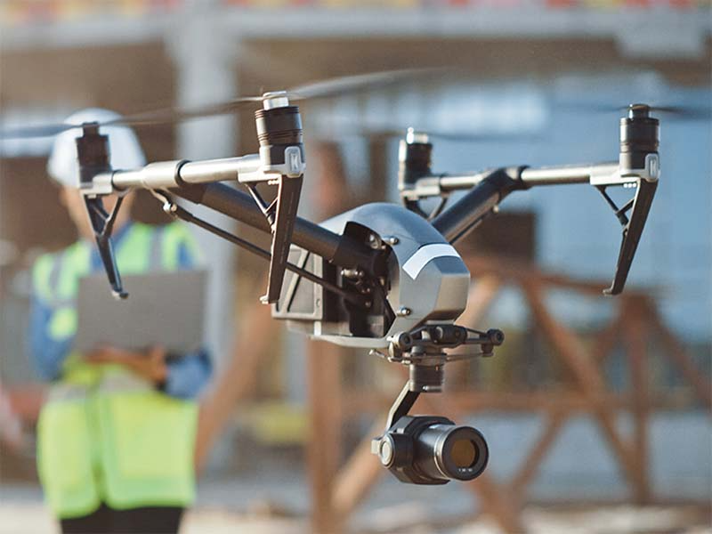
UAV Inspections with a higher level of autonomy can make civil engineering inspections safer, faster and more accurate, plus they support the…

The use of a UAS to acquire geodata for mapping purposes has evolved beyond infancy and is now rapidly maturing. How will…
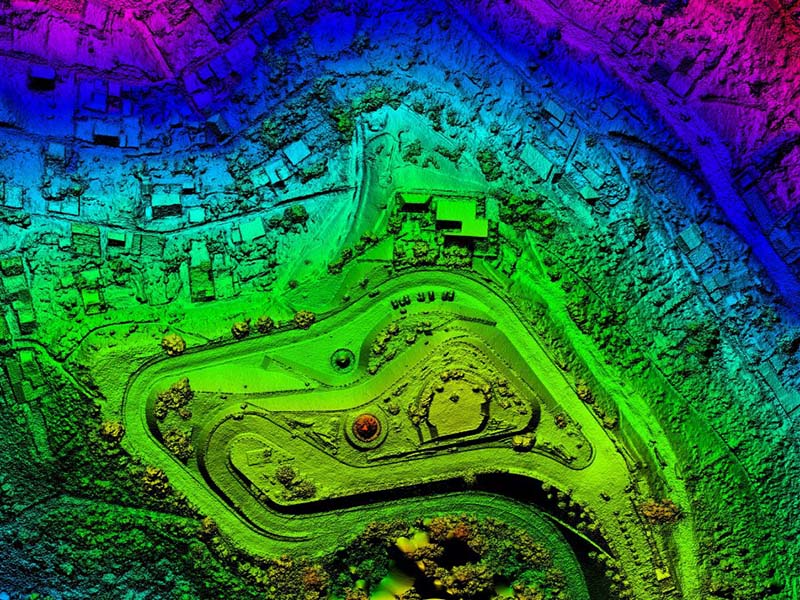
Big geodata has become an important asset for analysis and decision-making, but also poses a challenge for state-of-the-art visualisation techniques.

In this interview, Kevin Lea, senior vice president product management at ALLPLAN, discusses the benefits of BIM solutions and the challenges and…

The Past, the Present and the Future of the New International BIM Standard

Did you know that you can waste a week or more per year hunting for a parking space in busy cities?

It is difficult to go anywhere in the world of construction information and not hear the term ‘digital twin’. Depending on who…

Opportunities in digital twins, smart buildings, smart infrastructures and smart cities require more than just BIM as data. To benefit from this…

The digitisation of construction has finally gained a firm foothold. While it is true that spatial data digital models are often used – and…

The UK BIM Alliance will launch a Back to BIM Basics initiative in the first half of 2021, addressing the lack of…
Get in touch
If you would like to discuss a project please contact our team
