
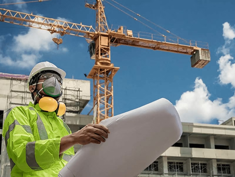
Revit Technician
Hire a certified structural Revit technician to model your building or site in 3D
At Terrain Surveys, our certified Revit technicians specialise in producing precise and detailed 3D models of existing buildings, structures, and sites.
Using the latest Autodesk Revit software and accurate laser scan data, we create BIM-ready models that support architects, engineers, and contractors at every stage of a project — from concept design through to construction and facilities management.
Whether you require a measured building survey model, structural model, or a Scan to BIM workflow, our experienced technicians ensure every model is accurate, coordinated, and built to your specifications.
- Fast Response – Nationwide
- Scaled Drawings in 2D CAD or 3D BIM Formats
- Clear Fixed, & Competitive Pricing
- ISO 9001 Certified
- CICES Approved
5.0
powered by
Call us today
+44(0)143 884 1300Get a free quote
Request a free, no-obligation quote for your project today.
- Interpret and model 3D laser scan data (point clouds)
- Create Revit models to your specific needs
- Produce 2D drawings and 3D visualisations
- Model architectural, structural and civil engineering features
- Ensure accuracy, consistency and interoperability across project files
What Our Revit Technician Can Do for You
The Revit technician will translate complex site and survey data into intelligent 3D models that reflect real-world conditions.
Using Autodesk Revit, they develop parametric models that can include architectural, structural, and MEP elements while enabling seamless collaboration between project teams.
Our Revit technicians work closely with clients to:
- Qualified Autodesk Revit technicians with experience across construction, architecture, and engineering.
- Data-driven accuracy using high-resolution point clouds from 3D laser scanning surveys.
- Compliant with industry standards
- Custom model outputs to suit your preferred LOD (100–500) and project stage.
- Collaborative workflow ensuring seamless integration with your in-house teams.
- Fast, reliable turnaround times for projects of all sizes.

Why Hire a Revit Technician from Terrain Surveys?
Hiring an experienced Revit technician from Terrain Surveys means you gain access to both advanced technical skills and survey-grade accuracy.
Every model we produce begins with verified 3D scan data collected by our own laser scanning team, ensuring precision from the start.
Our Advantages:
Accreditations


Applications

Architecture
Creation of accurate new-build or existing-condition models for renovation, extension, or planning applications. Ideal for heritage, residential, and commercial buildings.
Construction
As-built models for clash detection, design coordination, and digital project handover.
Engineering
Structural and civil models for analysis, coordination and design development, integrating seamlessly with your BIM or CAD workflows.
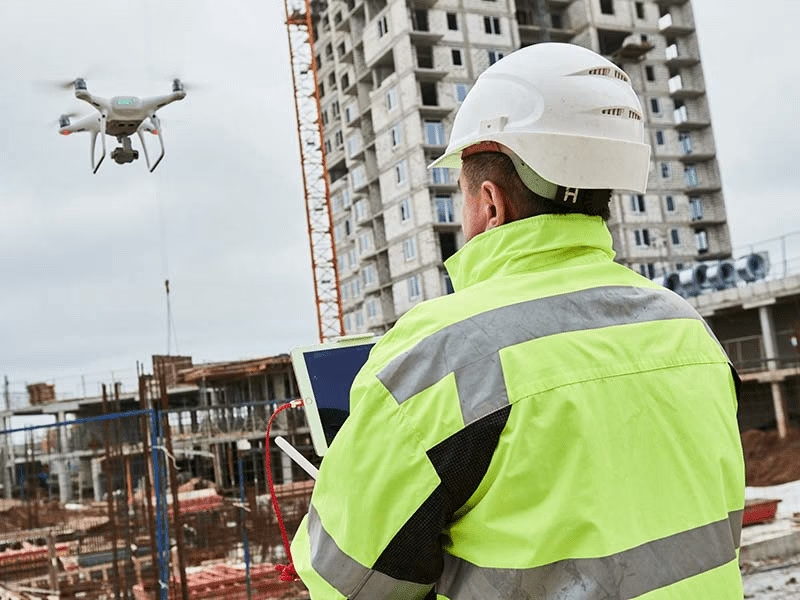
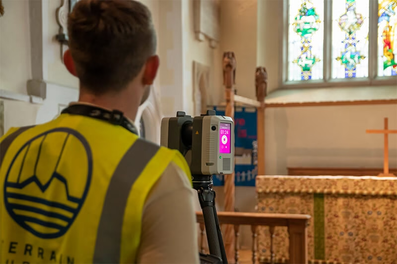
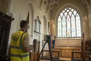
- 1. We can capture accurate site data using high-definition 3D laser scanners, or work with any existing point cloud data or 2D drawings.
- 2. Our certified technicians build the 3D Revit model to your required LOD and specifications
- 3. Models are checked against control data and survey benchmarks.
- Autodesk Revit (.RVT) 3D interactive model
- IFC / NWC / DWG file exports
- 2D plans, elevations and sections generated from the 3D model
- Accuracy report and metadata documentation
- Point cloud data (if required for reference)

Process & Deliverables
Typical Process
deliverables
- Experienced BIM and CAD specialists
- Over 20 years of surveying excellence
- Fully insured, trusted, and UK-wide service
Why Terrain Surveys
At Terrain Surveys, we combine surveying precision with BIM expertise to deliver Revit models that you can trust. As a TSA-member company, our work meets the highest standards of professionalism and accuracy.
Every model produced by our Revit technicians is backed by the same quality assurance processes that underpin our nationwide surveying services.
OTHER SERVICES WE OFFER
 Explore
3D Laser Scanning
3D Laser Scanning, or High Definition Surveying is a highly effective surveying method for the most intricate of spaces that are difficult…
 Explore
CCTV Drainage Surveys
From standard connectivity/condition to pre and post rehabilitation, as well as the identification of ongoing issues, Terrain Surveys are proud to undertake…
 Explore
Utility Mapping Surveys
A utility mapping survey gives you a clear, site-wide picture of the underground services on your project, so you can design, plan,…


Our work
 Read more3 min read
Scanning and Revit Model of Roof Spaces at Guys Hospital London
Building on previous work, Terrain Surveys delivered a detailed 3D Revit model of complex roof spaces — capturing structural elements and voids…
 Read more3 min read
3D Revit Model of a Highwood Hill Property
Terrain Surveys delivered a detailed 3D Revit model of a Highwood Hill property, combining verified topographical data with laser scanning.
 Read more2 min read
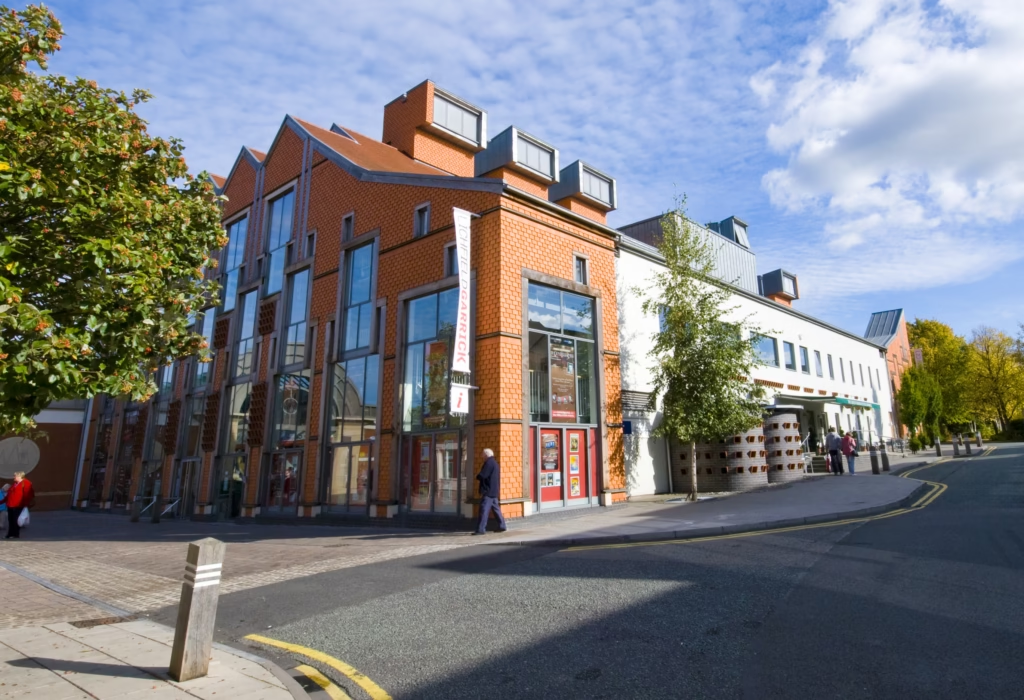
3D Revit Survey of Lichfield Garrick Theatre
A detailed 3D Revit survey while the venue was closed for summer maintenance


We'd love to hear from you
Get a free quote ONLINE OR CALL
+44(0)143 884 1300Request a free, no-obligation quote for your project today.