
11 min read
Revit Vs AutoCAD: Which is Better? (Depends on the Situation)
The biggest change I've seen in 20-plus years of surveying isn't the instruments. It's what clients expect us to deliver. A decade…


The biggest change I've seen in 20-plus years of surveying isn't the instruments. It's what clients expect us to deliver. A decade…
Here's something that surprises a lot of clients: almost every project we run clash detection on throws up a clash of some…

Most area referencing problems don't start with bad measuring. They start with two wrong assumptions: that the existing plans are accurate, and…

Trying to save £1,000 by sketching your own floor plans can cost you 10 to 100 times that saving if the measurements…

Your property almost certainly had plans at some point. An architect drew them, the council approved them, and a builder worked from…

Most people who need floor plans are planning an extension, a renovation, or a refurbishment. Their architect has told them they need…

According to the GOV.UK NUAR Economic Case Summary, there are roughly 60,000 strikes on buried pipes and cables in the UK every…

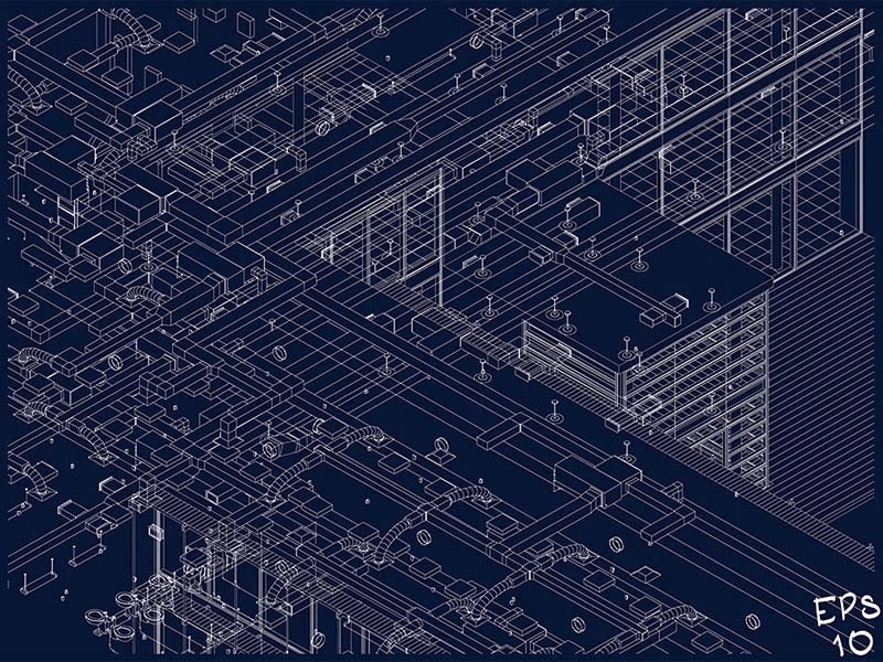
Building Information Modelling (BIM) has become the industry standard across the UK. Whether you are an architect designing a sleek new commercial…

If you are planning any sort of building project in 2025, you have probably heard the term "Revit" thrown around. Maybe your…

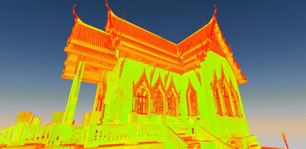
3D laser scanning has completely revolutionised how we capture building data. But here is the thing. The first question we are always…

AI, cloud platforms and drone workflows are transforming geospatial surveying — improving speed, collaboration and data sharing. But new technology also brings…

Here is something that surprises a lot of people. You can spend months on a planning application. You prepare drawings, get consultants…
Before a single brick is laid, you need to know exactly what you're working with. Here's a scenario we see play out…

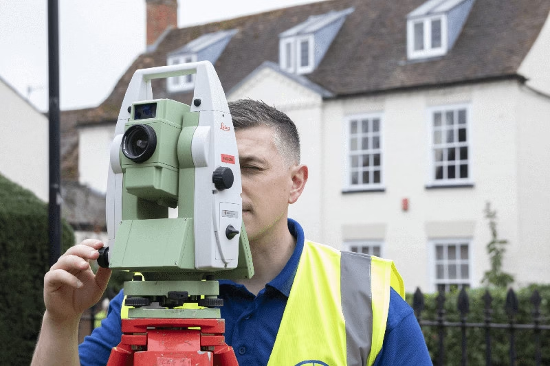
I've been a surveyor for 25 years, during which time I've personally carried out hundreds of surveys using a total station. In…

Advancements in technology, increasing project complexity, and changing client expectations mean that measured surveys are no longer viewed as a standalone deliverable.…

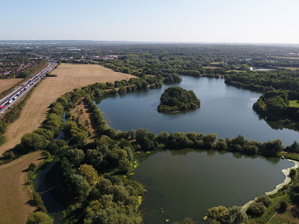
Whether you are planning a new extension, landscaping your garden, or need to clarify a boundary line, one of the first documents…
Let's be honest - Ordnance Survey maps are brilliant. They are the backbone of British navigation. Whether you are planning a ramble…
Picture this: You are about to invest thousands on a new extension. Your architect has drawn up the plans. The builders are…

After more than two decades at the heart of Terrain Surveys, our former Director and one of the company’s founders, Neil Armstrong,…

In the world of surveying and construction, you'll often hear the terms 'Lidar' and '3D Laser Scanning' used. Sometimes, they're even used…

There's something magical about owning or working on a Grade II listed building. The weathered stone, the original timber beams, the sense…
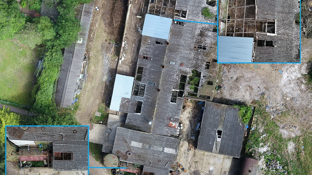
Roof inspections are essential for property maintenance, development, and safety. Yet traditional methods are notoriously difficult, dangerous, and expensive. Think about it.…
GNSS stands for Global Navigation Satellite System. It is the collective term for all the satellite constellations that provide global positioning, navigation…
Imagine having a highly accurate digital version of your building or site – one you can explore on screen, measure from, and…
Get in touch
If you would like to discuss a project please contact our team


