
9 min read
Scan to BIM: What Is It, Benefits, & How It Works?
Ever started a renovation project only to discover the walls aren't where the old drawings said they'd be? Or watched a construction…


Ever started a renovation project only to discover the walls aren't where the old drawings said they'd be? Or watched a construction…

In today's fast-paced world of construction and design, precision isn't a luxury- it's a necessity. As a director at Terrain Surveys, I…

In the world of construction and property, inaccurate information is the biggest threat to your budget and timeline. An inaccurate plan could…

For decades, measuring an existing building involved tape measures, sketches, and a healthy dose of estimation. It was a system that worked,…

Here’s a look back at some of the standout moments from an unforgettable year…

In an age where your phone can manage your life, navigate your car, and even identify plants, it's a fair question to…
Imagine you're standing on a plot of land. To the naked eye, it might look relatively flat. But is it really? Where…

Whether you're planning a home extension, breaking ground on a new development, or trying to resolve a boundary question, every successful land-based…
You're planning a new extension, but how close to that old fence can you legally build? Or perhaps you're an architect designing…

It's one of the most common questions we receive at Terrain Surveys. And I completely understand why. Whether you're an architect preparing…

Whether you're breaking ground on a multi-million-pound development, designing a new public space, or simply planning your dream home extension, every successful…

You've designed a brilliant new building, secured planning permission, and you're ready to break ground. But have you considered the shadows it…

Picture this: You're about to renovate your Victorian office building, or perhaps you're an architect designing a new mixed-use development in Manchester.…

In any construction project, from a home extension to a new commercial development, the biggest risks are unforeseen costs and delays. But…

Guideposts Trust, a fantastic UK charity dedicated to supporting children, young people, and adults with learning disabilities, autism, mental health challenges, and…

Blocked sewage drains are a right mess. They stink, they’re hazardous, and if you ignore them, you’re looking at structural damage, health…

Blocked outside drains can be a right pain. Left unchecked, they lead to standing water, foul smells, and even costly damage to…
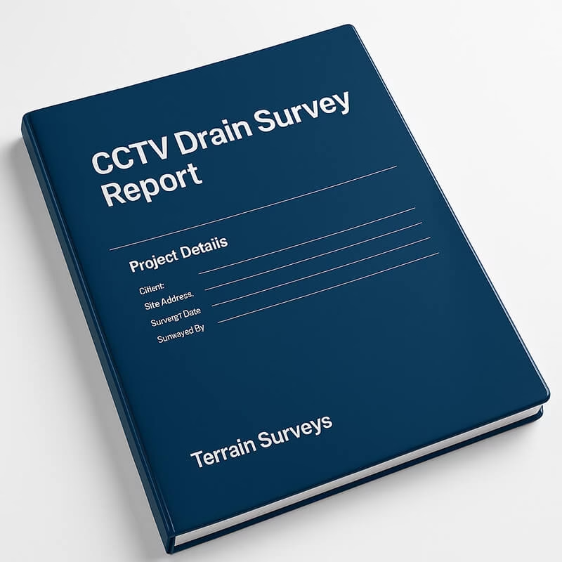
Let’s get this straight: If you’ve had a CCTV drainage survey done (or you’re planning one), the report you get at the…

Imagine needing to understand what lies beneath a centuries-old site, but without turning over a single spade of soil. That’s exactly what…

Before any digger moves earth or tarmac’s torn up, there’s one golden rule in the construction game: know what’s below. That’s where…

If you’re facing drainage issues — or buying a home and want to avoid future headaches — a CCTV drainage survey could…

Understanding what lies beneath the surface is critical before any excavation begins. PAS128—the British standard for underground utility detection—was created to bring…

Buying a property? Planning a renovation? Or managing a commercial site? Then you’ll definitely need a building survey at some point. But…
You wouldn’t build a house without checking what’s underground first, would you? Yet each year in the UK, tens of thousands of…
Get in touch
If you would like to discuss a project please contact our team


