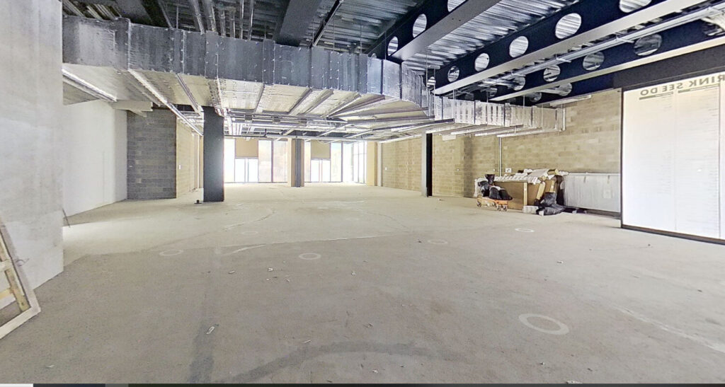
The Benefits of a 3D Virtual Matterport Tour as Part of Your Measured Survey
A virtual Matterport tour brings several benefits to enhance the measured survey information or as a standalone deliverable.


A virtual Matterport tour brings several benefits to enhance the measured survey information or as a standalone deliverable.

Costs for measured building surveys vary depending on the size and complexity of the building and required deliverables. Prices can start from…
At Terrain Surveys, when we’re asked about what we do, the way we like to think about it is that when we…
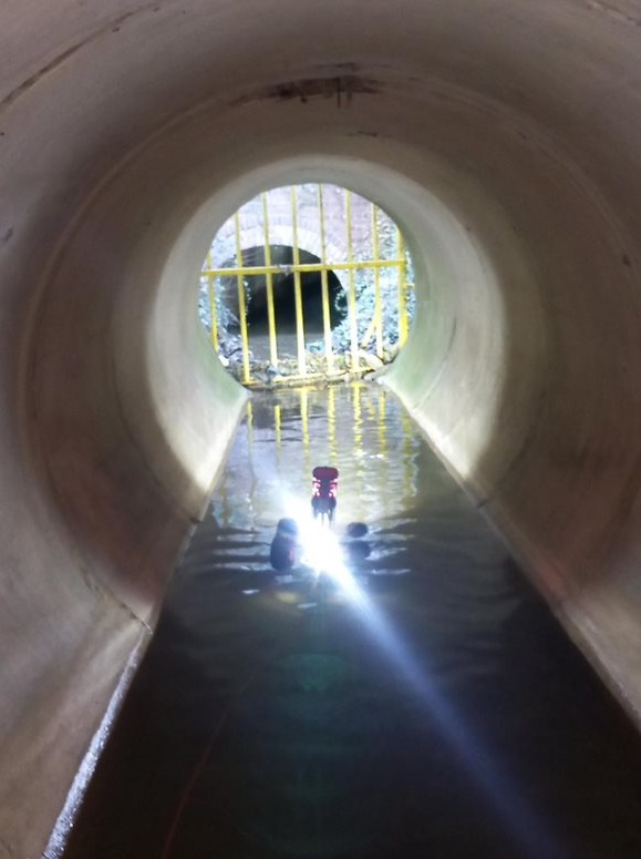
Identifying the root cause of any drainage problem is essential, but actually fixing the issue is where the real prize is; that’s…
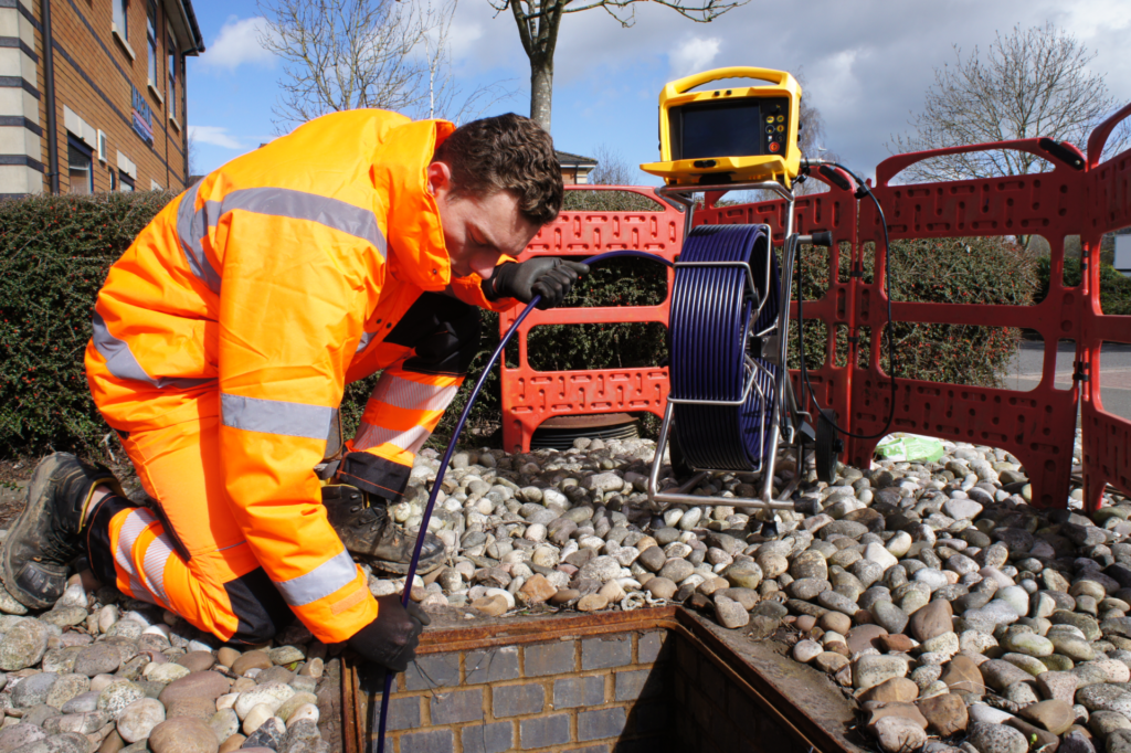
Ensuring the health of your drainage system is critical for property owners and public authorities alike. CCTV drainage surveys offer a cutting-edge solution, providing…
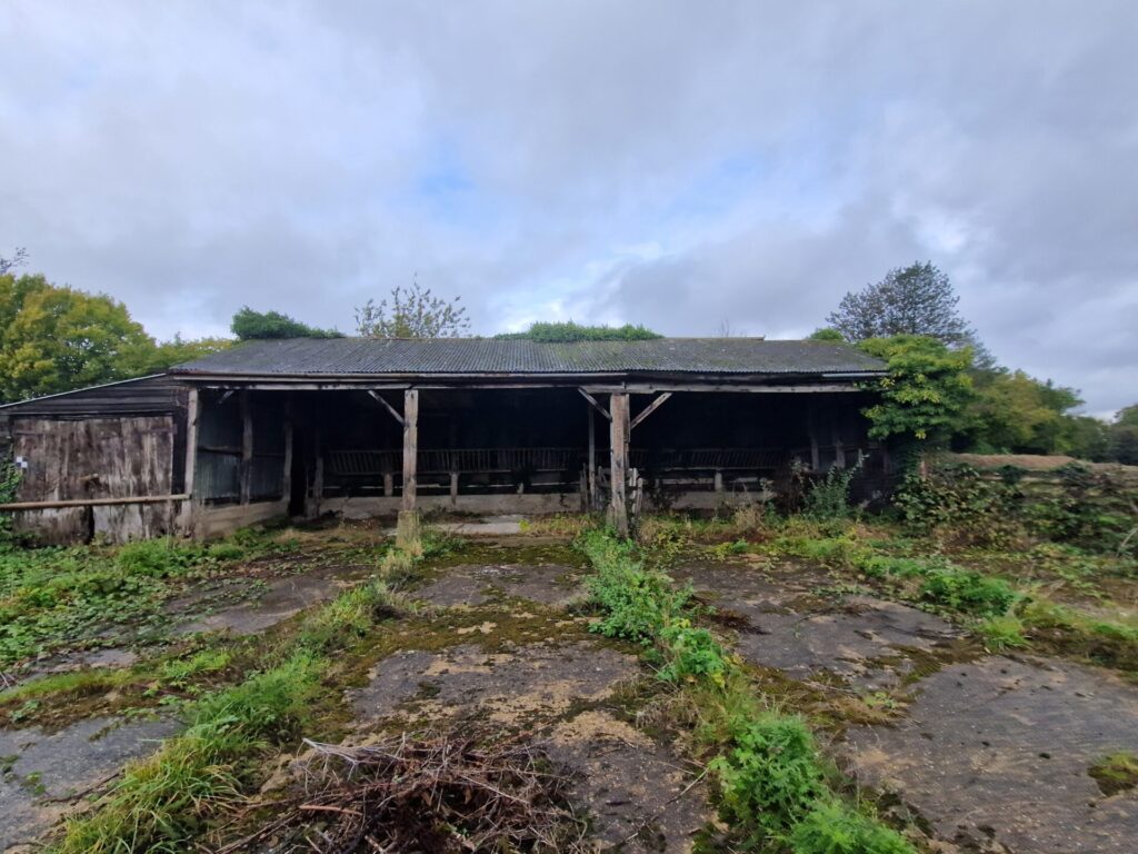
There has been a notable increase in agricultural to residential conversions in recent years which could be attributed to the government’s aim…
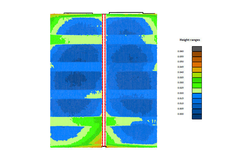
Identify and highlight any deflection of the RAAC panels that had occurred

The hard work of 23 students on this year’s TSA Surveying Courses were celebrated at the annual graduation ceremony at Worcester Racecourse.

Terrain Surveys Ltd is delighted to announce the recruitment of three new team members to support buoyant demand for 3D laser scanning,…
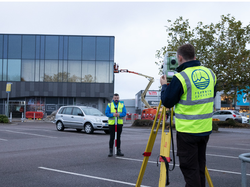
Critical to projects, ranging from the construction of a residential property to large-scale infrastructure projects, a PAS128 utility survey provides construction professionals clarity on…
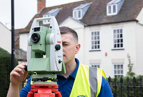
For construction and design professionals such as architects, contractors and engineers, measured building surveys and topographical surveys play a crucial role in…
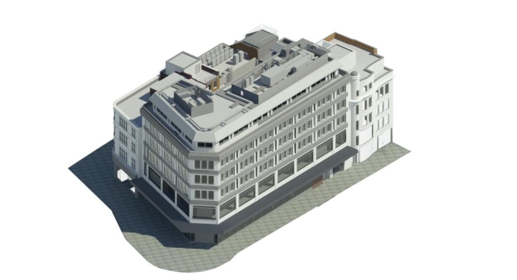
A 3D Revit Survey models is a vital element of your Building Information Modelling (BIM) project. Read our guide on 3D Revit…

A topographic survey (or land survey) is an exercise undertaken by land surveyors. Using highly specialised survey equipment and skills, we measure the…
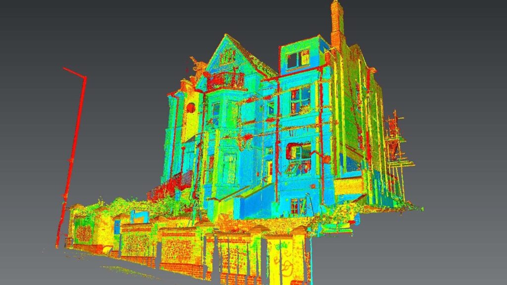
3D laser scanning surveys have become an indispensable tool for use in building construction. Terrain Surveys Laser Scanning method of measurement allows…

Retrofit projects bring older buildings which have a greater impact on energy resources into the 21st century
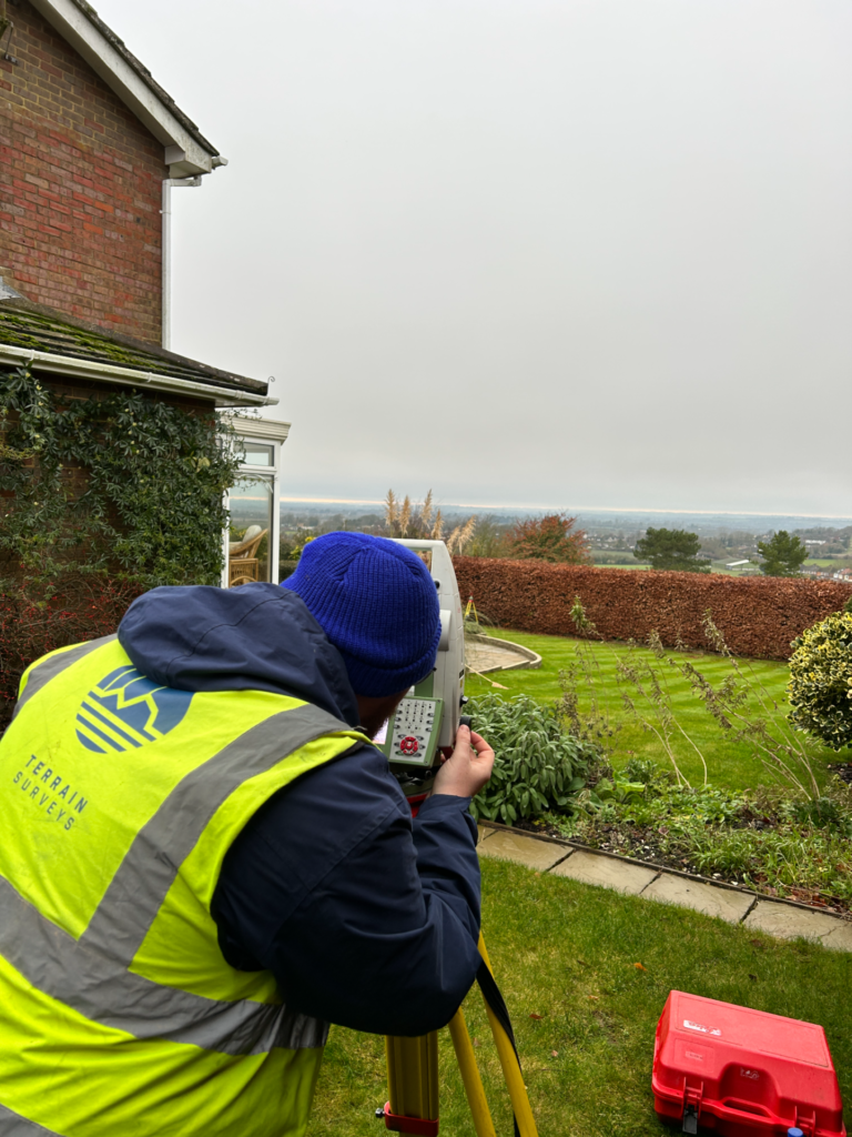
For two decades, Terrain Surveys have been privileged to support garden designers with accurate, cost-effective topographical surveys throughout the UK
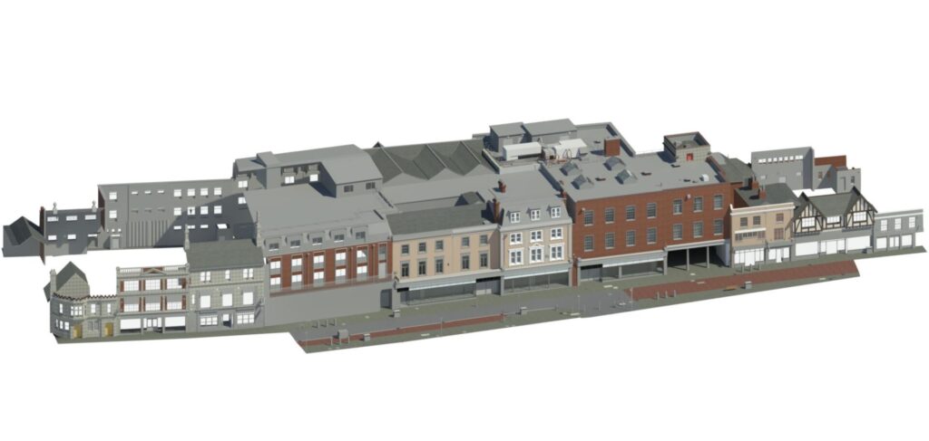
Selecting the correct Level of Detail (LOD) for a 3D Revit survey model is a crucial decision, to make sure that you will have…
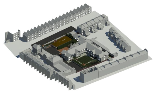
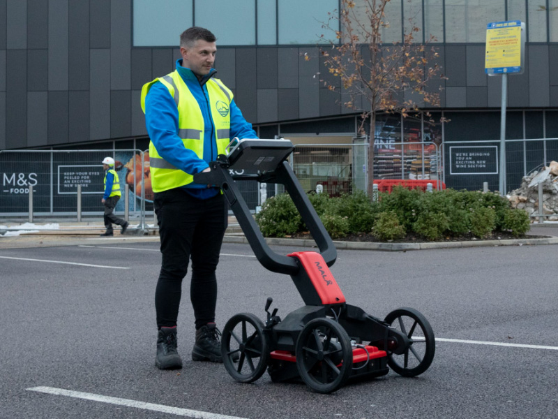
GPR is a crucial aspect to effectively carry out an underground utility survey. Read our guide on GPR surveys and find out why…
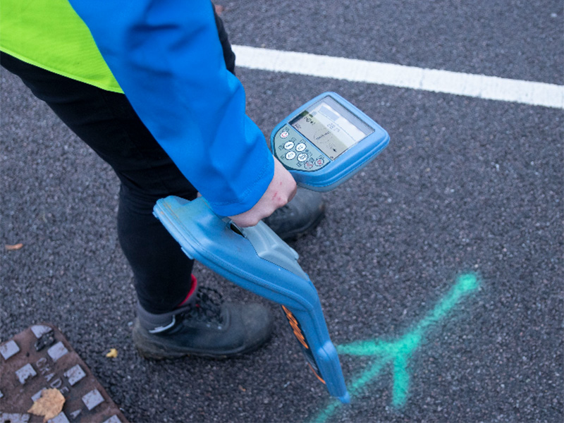
Underground utility surveys play a role of crucial importance when it comes to development and construction projects
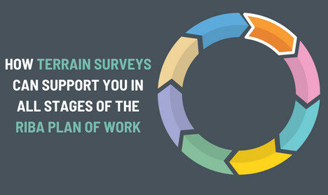
The purpose of Stage 1 of the RIBA Plan of Work is, essentially, to allow both the client and design team to…

Understanding the importance of accurate data
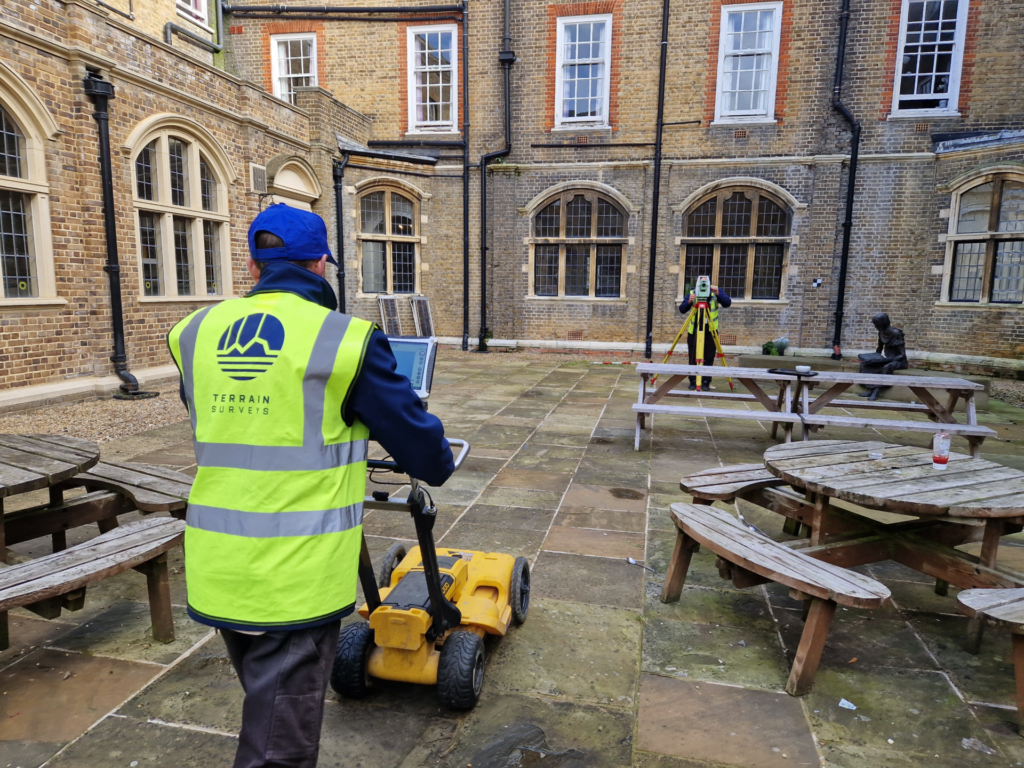
When undertaking utility surveys, GPR technology plays a crucial role in enabling us to deliver accurate and cost-effective utility surveys throughout the UK.…

Land surveys play a critical role in land management, development, and property ownership in the United Kingdom
Get in touch
If you would like to discuss a project please contact our team
