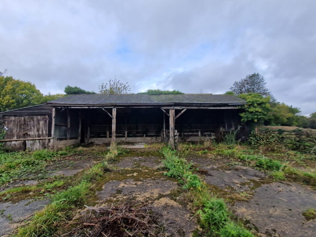
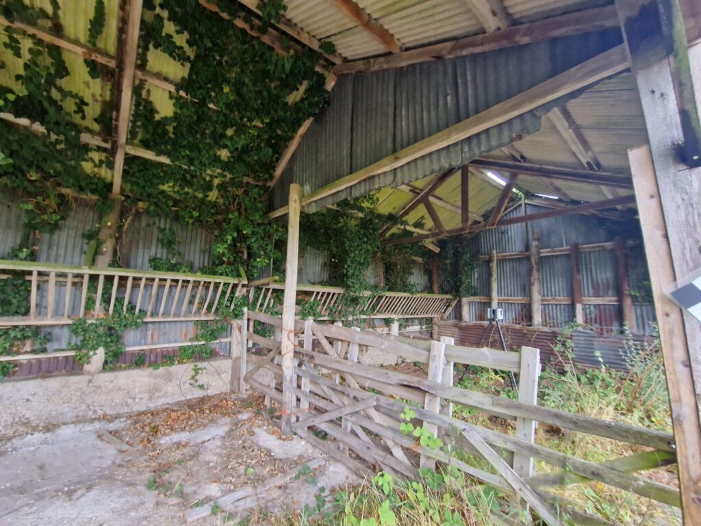
There has been a notable increase in agricultural to residential conversions in recent years which could be attributed to the government’s aim of increasing rural economic growth. The advent of Class Q of the General Permitted Development (England) Order 2015 has provided a simplified pathway for agricultural to residential conversion, simply put you can convert a barn under permitted development without the need for a full planning application. However, there are various conditions and caveats which must be met to comply with Class Q and the process can be quite complex.
Once you have identified the pathway for your conversion a suite of accurate and detailed measured surveys will be required to assist with successful planning and design.
A topographical survey would be required to accurately map all the external features of the site, extending beyond the site boundary to include the access road. It is common place for the topographical survey to be extended 50 – 100m in each direction along the highway from the point of site access. This allows for sufficient data to be recorded for visibility splay surveys and to fully assess the highway and transport impact.
A underground utility survey may be requested to establish the presence of buried utilities on or surrounding the site. Knowing the accurate position of the buried utility infrastructure will assist with the safe planning of routing services to the property. Where excavation or drilling works are required an underground utility survey would be essential to mitigate the risks of an accidental utility strike.
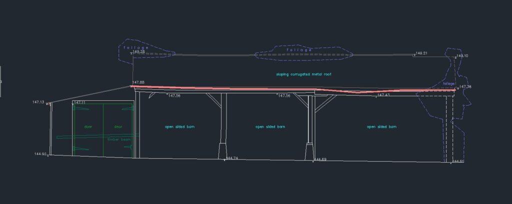
As the conversion will be limited to the current footprint of the building it is crucial to have an accurate measured building survey to ensure that any designs can maximise space utilisation. Floor plans, Elevations & Section drawings will form part of the measured building survey package providing accurate spatial data for planning, estimating and designing.
For all your survey requirements, both above and below ground, please get in touch where one of our team will be happy to assist.


