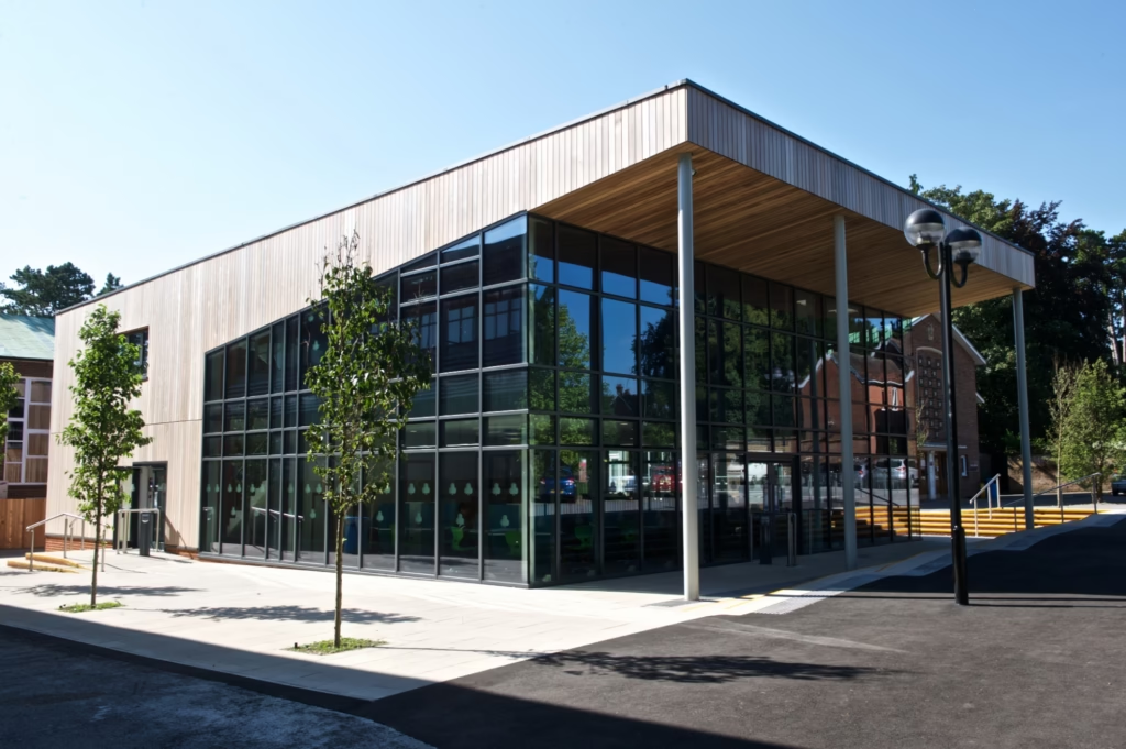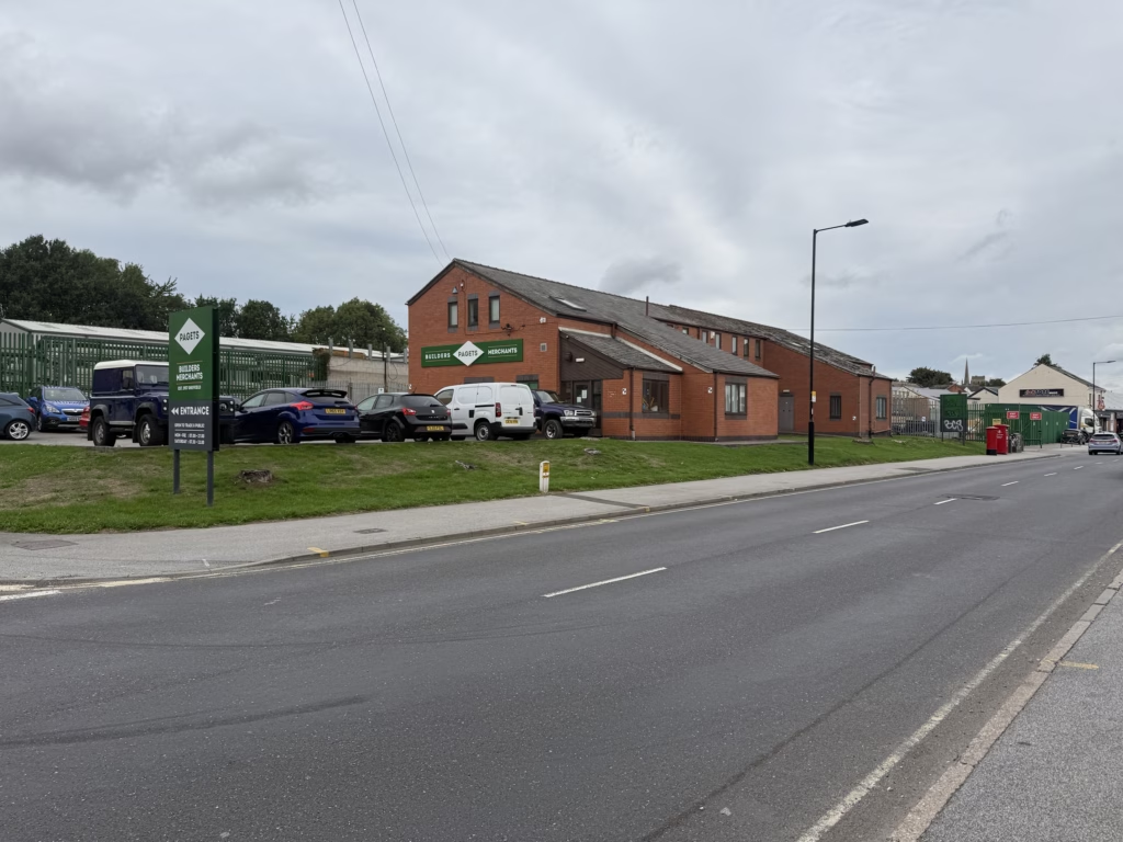
Measured Building, Topographical and PAS128 Utility Surveys at Broadfield Road, Sheffield,
Terrain Surveys combined measured building, topographical and PAS128 utility surveys into one coordinated programme — giving the client a clear view of…
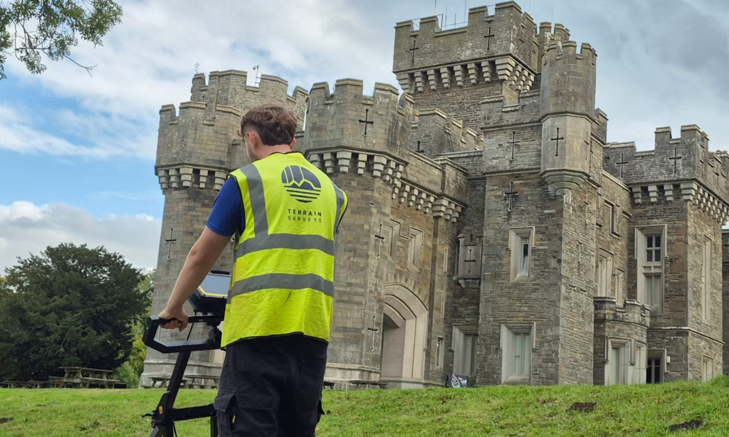
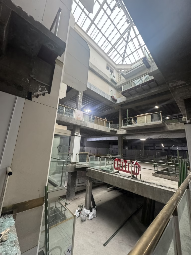
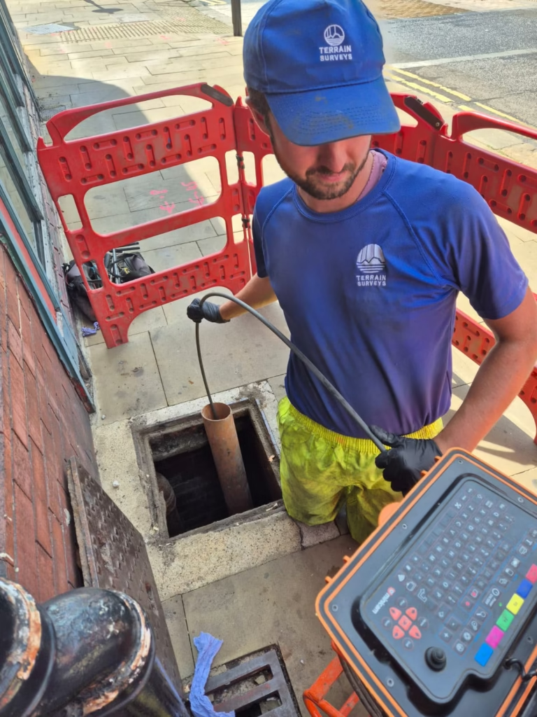
Terrain Surveys combined measured building, topographical and PAS128 utility surveys into one coordinated programme — giving the client a clear view of…

Across 112,000m² of historic Lake District grounds, Terrain Surveys mapped buried utilities to support plans for a new, more efficient sewage treatment…

Working alongside live demolition, Terrain Surveys captured the exposed structure of a former retail unit using 3D laser scanning and delivered the…

Terrain Surveys used the summer holidays to complete a detailed CCTV drainage survey at a Harrow school — mapping hidden pipework, locating…

Combining 3D laser scanning with topographical and measured building surveys to capture a former casino at Brighton Marina in detail

Bringing together topographical, utility and CCTV drainage surveys in one coordinated programme at one of London’s most historic theatres

Multiple Sites. Multiple Surveys. One Coordinated Solution.


Terrain Surveys combined laser scanning, floor flatness analysis and Ground Penetrating Radar to investigate floor settlement, slab thickness and hidden subsurface features…

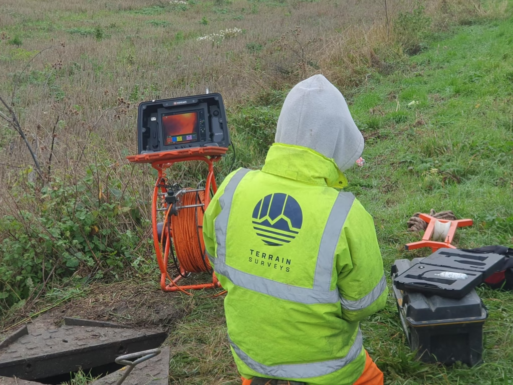
Using electronic line tracing and drainage surveying techniques, We uncovered and mapped a site's below-ground drainage infrastructure and provided valuable insights for…

Our team navigated overgrown terrain and derelict structures to deliver a full topographical survey of a former North London golf centre, helping…

Terrain Surveys used high-definition laser scanning to capture two Grade II listed buildings in intricate detail, supporting future regeneration plans with accurate…

Terrain Surveys carried out a PAS128 utility survey across a 50,000m² junction, using EML and GPR to support the design of a…

Building on previous work, Terrain Surveys delivered a detailed 3D Revit model of complex roof spaces — capturing structural elements and voids…

Terrain Surveys used laser scanning and colour contour mapping to assess structural condition and support redevelopment plans in central Mansfield.

Integrated topographical and utility surveys of Neasden Recreation Ground.

With limited roof access at a prominent Market Hill property, Terrain Surveys deployed drone technology and laser scanning to deliver a complete…

Terrain Surveys delivered a detailed 3D Revit model of a Highwood Hill property, combining verified topographical data with laser scanning.

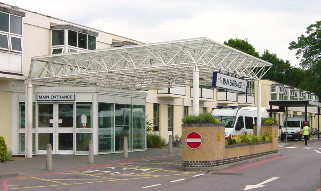
A full CCTV condition survey of the foul and surface water drainage systems serving Frimley Park Hospital

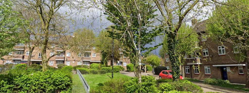
Terrain Surveys carried out a full Topographical survey of an estate in Bexley. 132 flats spread over 22 separate blocks

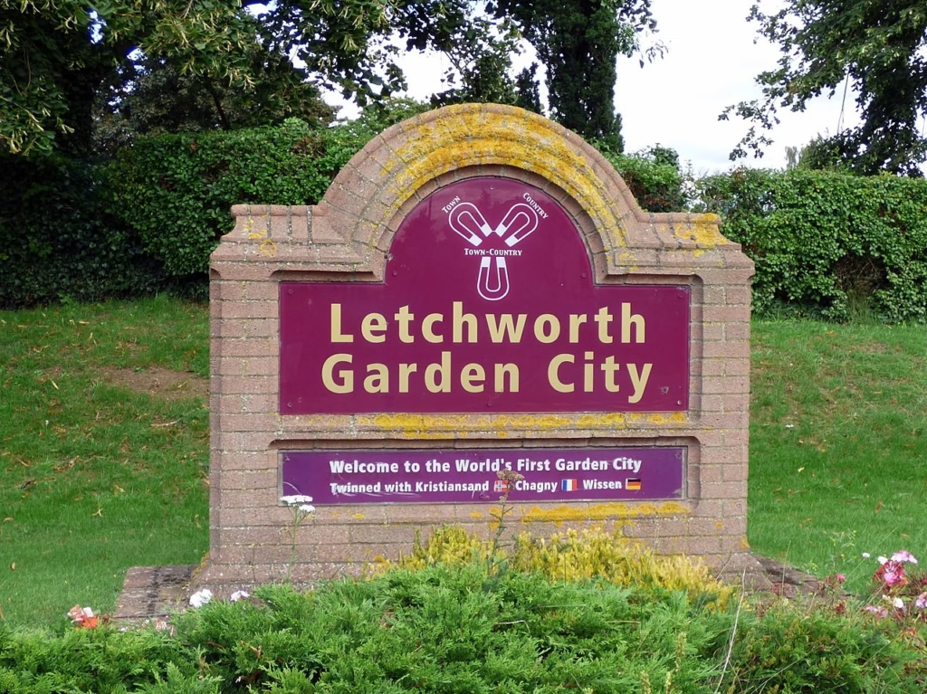
Terrain Surveys were commissioned by Letchworth Garden City Heritage Foundation to complete 7 measured building surveys

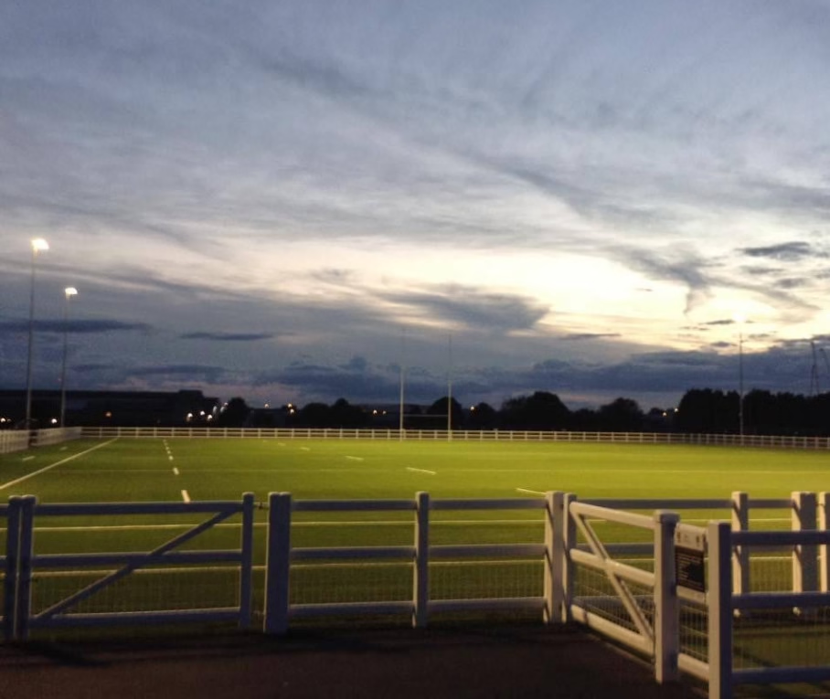
Terrain Surveys headed pitch-side to map and investigate the club’s below-ground drainage network — revealing routes, capacity and condition to support future…

A CCTV and connectivity survey providing essential data to support a major new residential development — helping engineers plan connections into Highways…

he Department for Education commissioned Terrain Surveys to carry out a comprehensive Measured Building Survey across the campus to support future refurbishment…
Get in touch
If you would like to discuss a project please contact our team