Project Overview
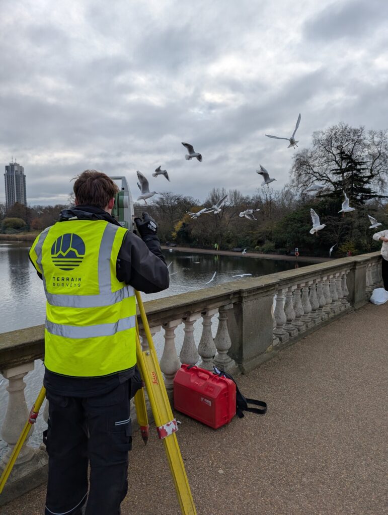
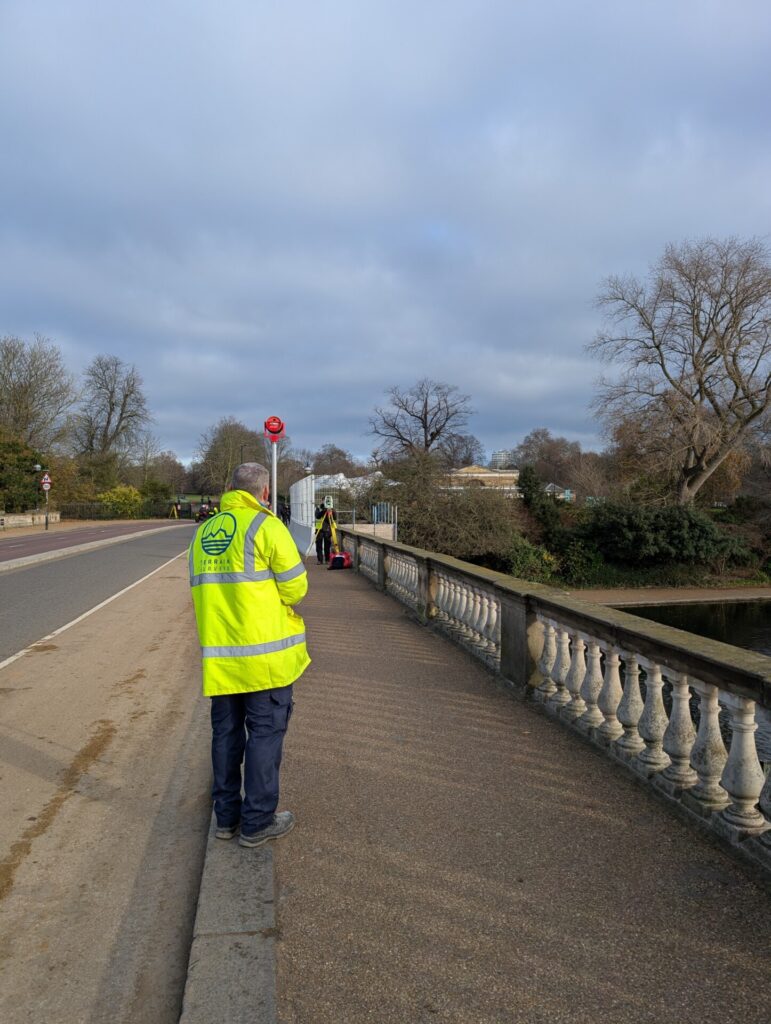
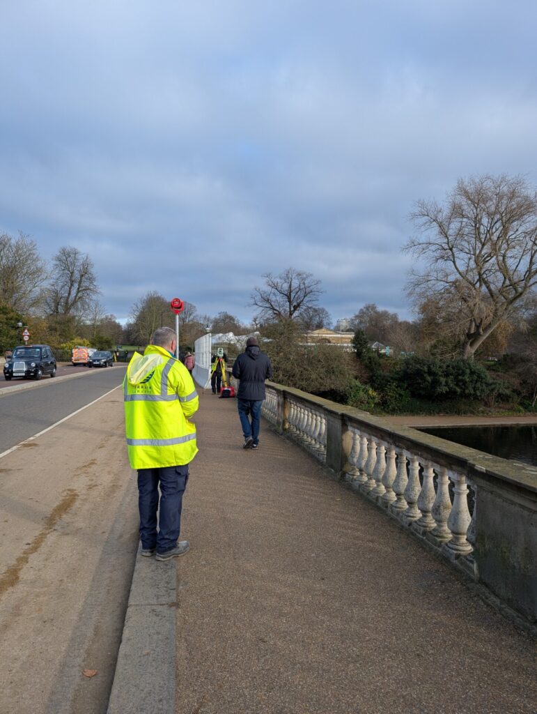
The Serpentine Bridge, a historic landmark spanning the Serpentine Lake in Hyde Park, London. Our client required detailed measured survey drawings together with a utility survey to support planned maintenance and repair works to the bridge.
Terrain Surveys were selected for the project due to our expertise in quickly delivering highly accurate and comprehensive survey data for challenging environments, ensuring minimal disruption to the busy public space.
The Survey
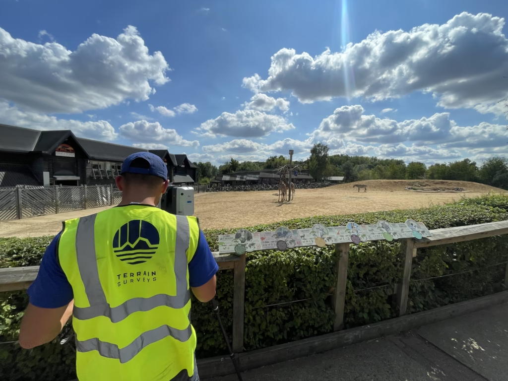
Terrain Surveys used traditional survey techniques to produce a control network and topographical survey of the bridge area, together with a laser scanner to capture pointcloud data of the bridge structure and ornate features. With the site work complete, a topographical survey and detailed bridge elevations were produced in CAD.
Using the topographical survey, the utility survey team then carried out a survey to locate and identify all buried services on and adjacent to the bridge deck.
Challenges
Hyde Park is a popular London landmark and experiences high visitor numbers, especially near iconic structures like the Serpentine Bridge. With this in mind, our survey teams managed to cause minimal disruption to the park’s visitors and traffic.
The Serpentine Bridge is a historic structure, which meant that non-invasive survey methods were necessary to protect the bridge
The Results
The successful completion of the Serpentine Bridge survey demonstrated Terrain Surveys’ ability to utilise cutting-edge survey technology with sensitivity to heritage and public spaces. The measured survey and utility survey drawings were delivered on time to our client, allowing them to progress their program of works in confidence.
Should you require a responsive team to deliver a comprehensive measured survey quickly, do not hesitate to contact Terrain Surveys for a bespoke quotation within 48 hours.
