Overview
Leeds Council needed a full Topographical, PAS128 M3P Type B Utility Survey and a CCTV Drainage Condition/Connectivity survey for a busy stretch of road in Wakefield.
Survey
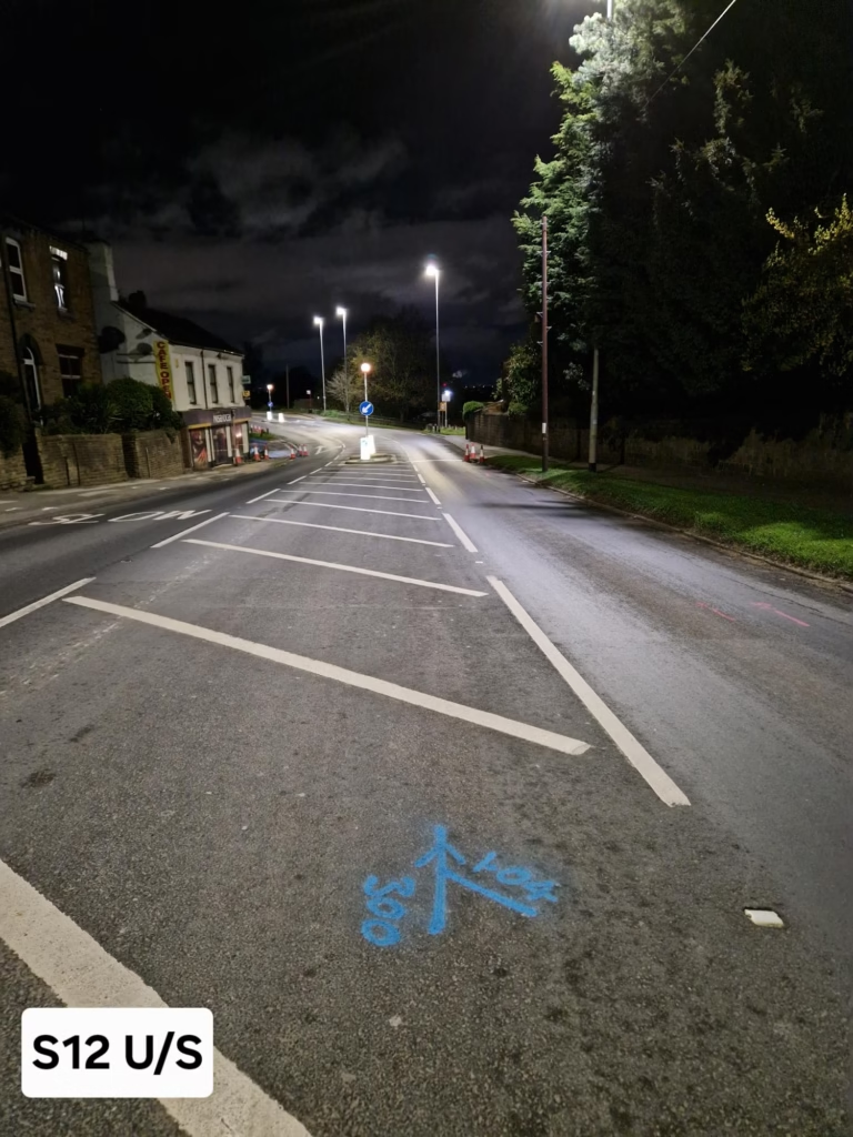
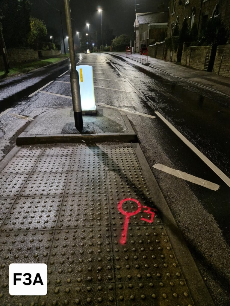
Due to the level of traffic on this stretch of road and the requirement for ground penetrating radar scanners to be used this project presented some logistical challenges.
It was determined that a large amount of the work required would be best undertaken at night with traffic management in place to close off parts of the road to ensure minimal disruption and a safe working environment.
Results
There was a risk on a job of this nature with so many different surveys required and a busy stretch of road that the job could have lasted many days and caused significant traffic disruption. If more than one provider was involved the logistics would have proven to be very complex.
One of the big positives however of having one survey provider doing all these different surveys was that we were able to schedule all the different surveys and surveyors in the most efficient way possible.
With one point of contact effectively liaising with Leeds City Council we were able to ensure all the permits required for the traffic management were secured and the disruption was kept to a minimum.
A full 3D PAS128 Utility survey drawing was provided to the client as well as CCTV Condition and Connectivity drawings, all within the quoted timeframes.