Overview
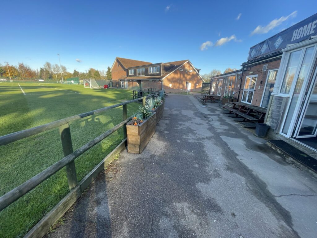
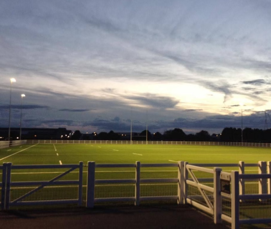
K Sports Cobdown Ground is a multi-purpose sports facility in Ditton, Kent. Our construction client required detailed and accurate surveys of the grounds and buildings to support planned redevlopment and infrastructure improvements. Terrain Surveys were commissioned to conduct a measured building survey, topographical survey, utility survey, and CCTV drainage survey to provide a comprehensive understanding of the site’s existing conditions.
As we are able to offer a full range of surveys in-house, our client opted for Terrain Surveys to provide all required surveys under one contract, rather than working with multiple suppliers. This approach ensured seamless integration of survey data, reducing efficiency issues from a disjointed collection of surveys from various providers.
The Survey
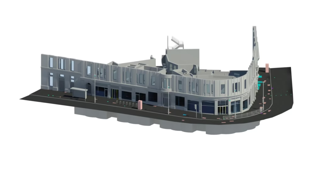
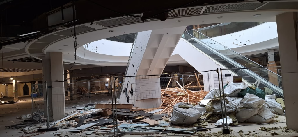
Measured Building Survey – using 3D laser scanning and total station equipment, our team captured highly accurate pointcloud data, to produce a comprehensive set of floor plans and elevations in 2D CAD format, of the existing sports centre buildings.
Topographical Survey – a topographical survey was produced of the sports centre grounds, using GPS and total station equipment. The detailed 3D CAD survey drawings included building outlines, roads, footpaths, sports pitches, street furniture, service covers, trees and spot levels.
Utility Survey – on completion of the topographical survey, we conducted an underground utility survey using Ground Penetrating Radar (GPR) and Electromagnetic Locators (EML) survey techniques. Mapping all buried utility services including water, gas, electricity, comms and drainage, accurately plotting position and depths onto the topographical survey drawing.
CCTV Drainage Survey – to assess the condition of the drainage system, our drainage survey team used high-definition CCTV cameras to inspect all drainage runs. for defects, blockages, or structural issues. Drainage details were added to the survey drawings together with video footage captured of the pipe runs. A comprehensive drainage report was also produced, providing details on the condition of the system with recommendations for maintenance or repairs.
The Results
By combining multiple surveys under one provider, our client received:
- A single set of cohesive surveys – ensuring all survey results were aligned.
- Faster project delivery – with surveys running concurrently, reducing wait times.
- Minimized site disruption – survey teams from one provider, less interference with operations.
- Reduced risk of errors – seamless integration between topographical, building and utility data.
Our comprehensive and reliable survey data ensured the client could proceed with confidence, reducing the risk of unforeseen issues and progressing with the development project efficiently.
For projects requiring multiple survey types, working with one experienced supplier like Terrain Surveys guarantees efficiency, accuracy, and ease of management. Contact us today to discuss how we can support your next project.


