Overview
Terrain Surveys were pleased to undertake this CCTV drainage condition/connectivity survey of a site near Birmingham, which had been acquired for redevelopment. The property dates back to the 19th century where it was initially a private residence and later became a residential care home and has been adapted and extended over the years.
The drainage capacity clearly had to be increased as it transitioned from a private residence to a care home with multiple occupancy. This has resulted in various drainage alterations over the years and many drainage assets being built over and concealed, with no records of the existing drainage infrastructure.
Without details and accurate plans of the existing drainage infrastructure, proposals and designs for future construction works could not progress. Terrain Surveys were therefore instructed to help solve the many unknowns and provide clarity on the existing drainage.
The Challenge
The site, which had been unoccupied for some time, become overgrown, with various drainage assets becoming obscured. Using hand tools, our team carefully cleared these obstructions, which included cutting back vegetation and digging out buried covers to leave them clean, clear and accessible.
A visual survey of the site highlighted minimal access into the below ground drainage system and the manholes that could be located were observed to be surcharged and blocked with silt and debris.
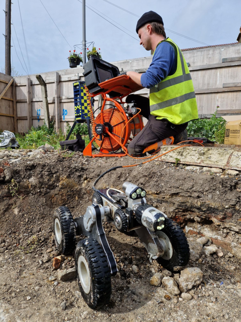
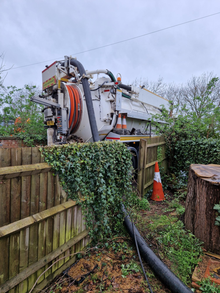
The foul water system was discovered to flow to an on-site sewage treatment works before being pumped from site. The power supply to the pump had been isolated and the system had filled with ground water. A combination jetting unit was used to draw down the standing water levels in the system and to clean the below ground pipe work to facilitate camera access. Once completed, the CCTV camera was deployed, revealing a fracture in the below ground pipework, highlighting the cause for the water ingress.
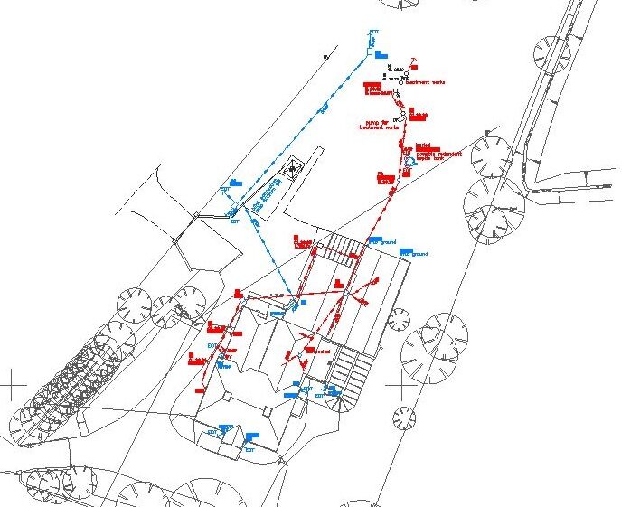
Several internal and external concealed manholes were discovered by the CCTV camera survey. These covers were then electronically traced with a sonde and locator and the positions mapped on to the topographical survey as part of the drainage connectivity plan. Dye testing was also carried out to prove the points of connection between the internal stack pipes and the located concealed manholes to provide a full understanding of the system.
A metal detector scan of an area of overgrown vegetation revealed the presence of an uncharted surface water culvert. Once the vegetation was cleared, the culvert was accurately mapped on to the site connectivity plan so its location could be factored into the construction works.
The Result
Our CCTV team were pleased to have been able to solve the ‘unknowns’ regarding the drainage infrastructure for this project. An updated topographical survey with drainage connectivity information was issued to the client in both CAD and PDF formats, along with a PDF report detailing the drainage condition and remedial recommendations.
Having experienced, well trained employees armed with the correct equipment who are dedicated to exceeding customer expectations allows us to achieve fantastic results.
Should you have a requirement for a CCTV survey, Terrain Surveys would be pleased to assist.
