What is GPR?
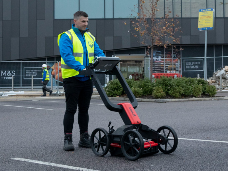
Ground Penetrating Radar (GPR) is a survey method used for scanning an area of ground to locate services located below the surface. GPR survey equipment works by emitting electromagnetic signal waves into the subsurface and by measuring the returning signal strength with the length of time taken, which then records a buried item. This data tells our surveyor where the buried item is located as well as the approximate depth. Although the GPR equipment will not identify what the buried item is, this will be identified by our experienced surveyor.
Why is GPR important?
- The key benefit of a GPR survey is that it allows buried services to be mapped accurately without the need for any excavation.
- GPR is an effective method of locating non-metallic and plastic pipes such as gas or water mains, as well as locating shallow voids.
- Without a comprehensive utility survey there is a risk of accidentally striking a buried service, which can be both extremely dangerous and result in significant costs.
- Having a complete understanding of services located within your site reduces the risk of encountering unforeseen or complicated issues during the design and build stages.
Our Approach
With several years’ experience on a variety of projects, Terrain Surveys are able to assist you with a cost-effective solution that is fit for purpose. Using experienced surveyors and our investment in the latest GPR technology, we are able to quickly survey and process large sites. We can then offer a range of 2D and 3D survey deliverables to suit your requirements.
Some Considerations
With all types of utility survey equipment there are some limitations to GPR and some considerations when requesting a utility survey of your site.
- It is recommended that we have a topographical survey drawing so that service covers can be located and lifted and most importantly to present the utility survey results effectively.
- Services can be traced to a depth of around 2 to 3 metres.
- Ground conditions can have an effect on survey results – the site area needs to be clear of vegetation or other obstructions.
- Any service with a diameter of less than 38mm may not be detectable.
- It can be necessary to implement traffic management where the survey area includes the highway.
For more information on our GPR Surveys or if you would like to discuss a project, please contact us on 01438 841300, or email enquiries@terrainsurveys.co.uk to speak to a member of our friendly team. Alternatively, complete the Contact form and a member of our team will be in contact with you.
Recent Opening of Regional Offices
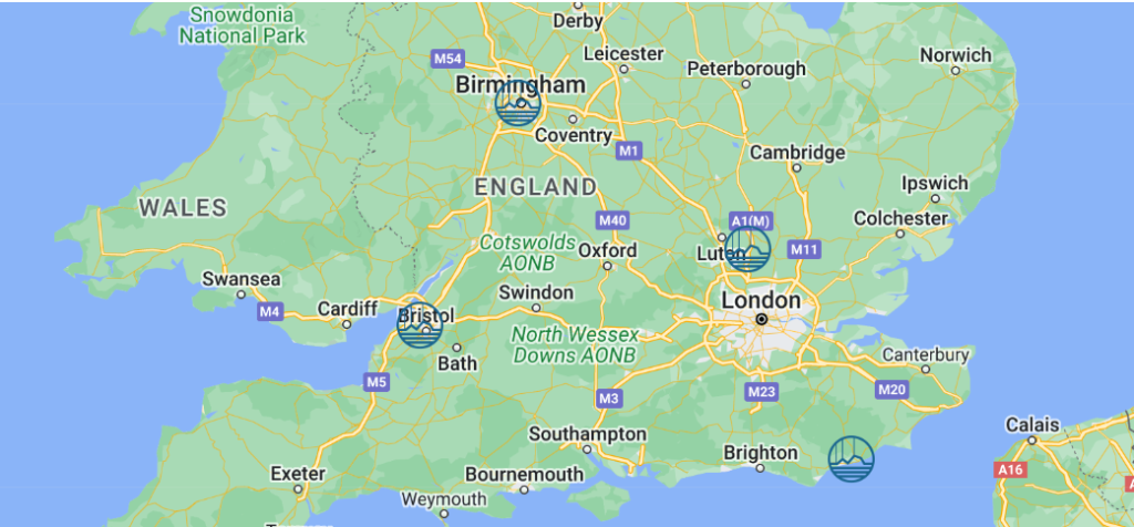
Over the past 18 years, Terrain Surveys have grown from our base in Welwyn, Hertfordshire, opening a midlands regional office in Birmingham in 2019.
Following continued company success, we are pleased to announce that we have recently established further regional offices, with our Sussex office based in Hastings and to cover the south west, we now have a Bristol office. If you have a project that is located closer to one of our regional offices, please visit our Contact page for further details.

