Critical to projects, ranging from the construction of a residential property to large-scale infrastructure projects, a PAS128 utility survey provides construction professionals clarity on all existing buried utilities and services within a given area prior to breaking ground, thus allowing more effective design and planning. This in turn helps to alleviate potentially costly mistakes, project delays and damage to the existing utility services. In order to deliver a PAS128 survey both accurately and efficiently, a valid up-to-date topographical survey is invaluable. In this article, we’ll explore the key reasons for this and the relationship between these critical measured surveys
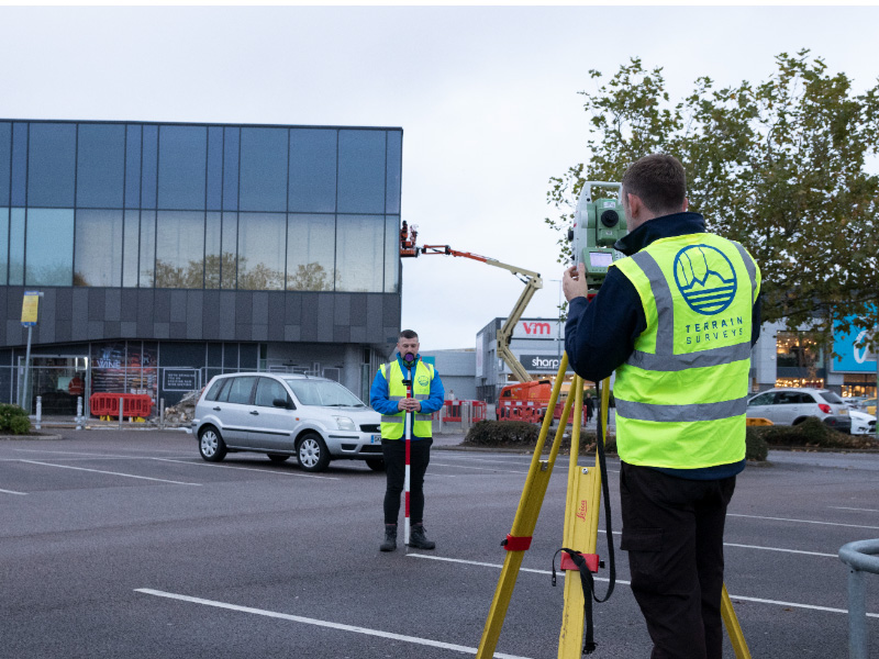
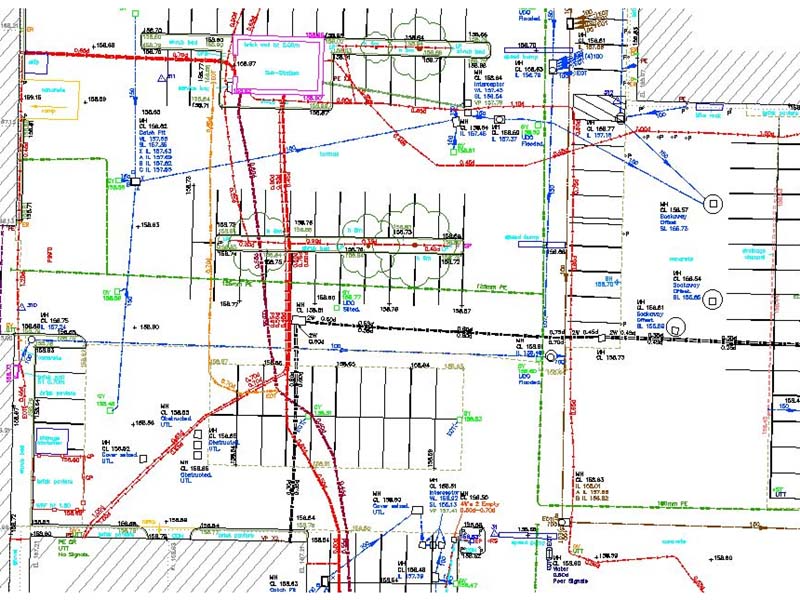
As the primary objective of a PAS 128 utility survey is to locate and map underground utilities, a topographical survey provides crucial geospatial information which ensure the position of utilities are accurately represented in relation to surface features, as well as providing a utility surveyor with a comprehensive understanding of any given site. This allows for informed decisions to be taken prior to undertaking the PAS128 survey, such as ensuring the correct survey equipment is used at different site areas. Additionally, a topographical survey allows a surveyor to understand the vertical relationship between the utilities and ground surface, providing vital detail such as ground levels, allowing the depth of buried services to be mapped and presented accurately as 2D or 3D data.
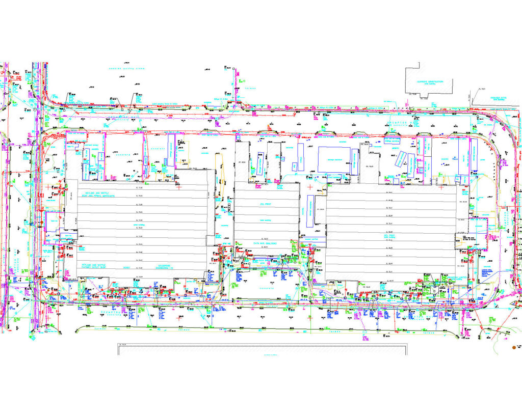
Both a topographical survey and PAS128 survey provide critical information for the design and planning stages of a project, allowing for the creation of highly accurate site plans. These site plans allow for efficient project design and planning, ensuring that utility installations and excavations are conducted with precision and a full appreciation of existing utility services in relation to surface features. This also allows potential conflicts to be mitigated between existing utilities and surface features, which is crucial for both the planning stage of a project as well as avoiding clashes during construction or excavation activities.
In summary, a topographical survey is an integral part of a PAS 128 utility survey as it provides clarity and accuracy in regard to the site’s physical characteristics, aiding the design, planning and management of underground utilities in relation to the surface features.
Should you be looking to instruct a topographical survey or PAS 128 utility survey, Terrain Surveys would be pleased to assist and provide you with a fee proposal within 48 hours.


