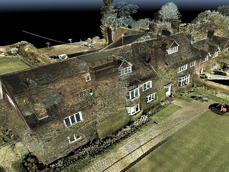
Following our investment in laser scanning technology at the start of the year we have seen a growing interest in our 3D laser scanning services. We have recently been commissioned to carry out the scanning of three local railway stations with point cloud files as the deliverable. The client requires detailed scanning of the stations both inside and out for them to produce 3D models where required. Keeping up to date with current customer demands and the growth in BIM (Building Information Modelling) we have invested in Revit Architecture. Producing measured surveys in Revit results in an intelligent 3D model, from which drawing files and construction documents can be extracted. If you would like to discuss your development project being modelled in Revit, please contact us to discuss or to provide you with a quotation. Our measured survey teams continue to be extremely busy carrying out topographical surveys and measured building surveys with projects ranging from residential and commercial properties, development land, golf courses and schools. Over the past couple of months we have produced topographical surveys with underground services tracing of several schools for Herts County Council as part of their expansion programme for infant and junior schools.
