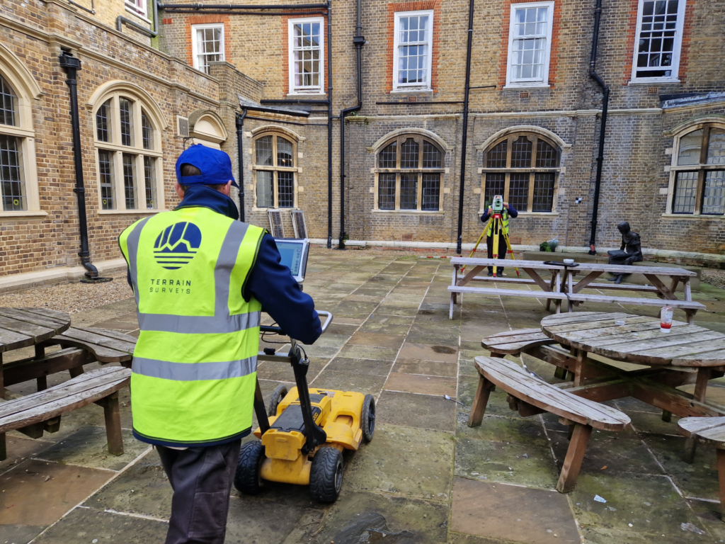
With a broad range of applications, Ground Penetrating Radar (or simply GPR) is a key piece of equipment which, among many other uses, enables buried services, such as gas pipes, water pipes and fibre optic cables, to be located without the need for costly and disruptive excavation.
When undertaking utility surveys, GPR technology plays a crucial role in enabling us to deliver accurate and cost-effective utility surveys throughout the UK. Although GPR has many uses, there are some noteworthy drawbacks, which we will explore below.
The Many Applications of a GPR Survey
GPR emits electromagnetic waves in both MHz and GHz frequencies and, as a technology, has existed for around a century. There are many forms of GPR which have countless uses across dozens of fields. For example, archaeologists use GPR to locate and map artifacts, while geologists may use GPR to assess and measure the thickness of ice. There are, frankly, hundreds of uses for GPR, owing to both its accuracy and non-invasive nature.
The Benefits of GPR Surveys in Construction
Although a GPR survey has many benefits within the wider construction industry, ranging from assessing the integrity of structures to identifying the location of rebar within concrete walls, GPR is primarily used to enable buried services and voids to be located and mapped without the need for excavation, and therefore plays a crucial role in many projects.
By mapping out said services and voids, GPR greatly reduces the risk of unforeseen issues occurring, for example, by enabling contractors to know the precise location of services to avoid the accidental striking of assets. GPR plays a key role in enabling costly mistakes and disruptive project delays to be mitigated, which is why it is often instructed at the design stage.
The Limitations of GPR
GPR is undoubtedly powerful, and it is a piece of equipment our utility survey team use daily. However, it is crucial to manage expectations – GPR does indeed have limitations, which is why GPR is generally used alongside other techniques to provide a comprehensive utility survey.
The most common drawback of GPR is that certain surface conditions, such as soil moisture levels, can hinder GPR readings, as can vegetation. Additionally, GPR alone is unable to categorically verify or identify services, it can only determine if they are present within the ground. It then relies on the user’s ability and knowledge to identify the findings.
Other common limitations are that it can only locate, rather than measure, the depth of voids. Furthermore, to gain a full appreciation of a site, GPR should be used alongside other equipment, and it is always recommended to have an up-to-date topographical survey drawing to provide clear site context.
How Terrain Surveys Can Assist
We are proud to provide comprehensive, cost-effective GPR surveys, as well as many other measured surveys solutions, for clients throughout the UK. We recognise that every site (and therefore every project) is unique, and our experienced team are happy to discuss your requirements to ensure we provide you with a comprehensive utility survey.
If you are a design professional with requirement for measured survey, do not hesitate to contact Terrain Surveys for a bespoke quotation within 48 hours.
