Overview
Terrain Surveys were commissioned to produce a detailed 3D Revit model of a residential property and surrounding site located in Highwood Hill, North West London (NW7), close to Totteridge Lane. This area is known for its large detached homes, varied topography and sensitive planning considerations, where accurate survey data is essential to support property alterations and extensions.
The project formed part of proposed works that included the construction of a basement and lower-level garage. To support the design team, the client required a clear understanding of the level relationship between the existing landscape and the property, as well as accurate measurements of the building’s internal configuration to calculate volume and inform planning proposals. Terrain Surveys were therefore instructed to undertake a combination of topographical and measured building surveys to create a coordinated digital model of the site and structure.
Survey
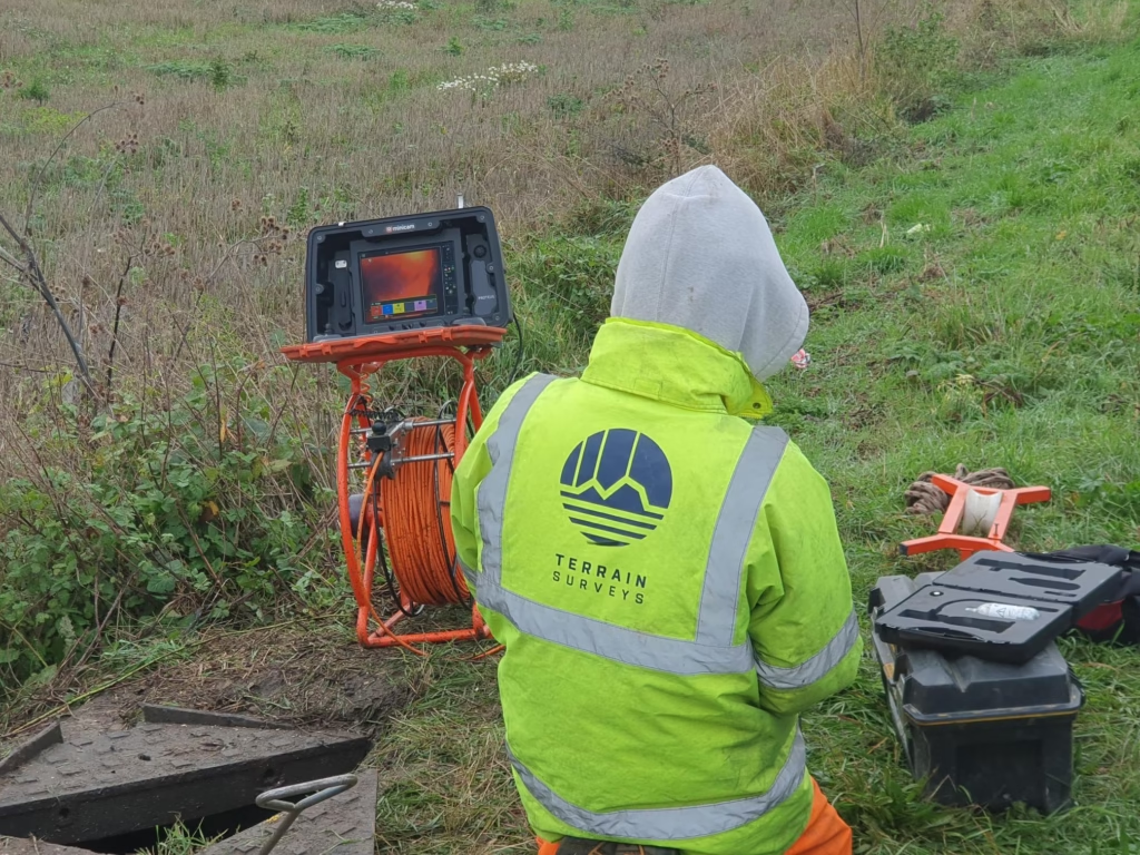
To achieve the required level of detail and accuracy, Terrain Surveys deployed a combination of advanced survey techniques. A previous topographical survey of the site had been completed in 2019, so the team carried out a full verification to confirm any changes in levels or site conditions since that time. This ensured the design team could rely on up-to-date and accurate information for the proposed basement works.
In parallel, 3D laser scanning was undertaken to capture both the external envelope and internal spaces of the property. The high-density point cloud data provided precise dimensional information across the building, enabling accurate modelling of structural elements, floor levels and spatial relationships. This integrated approach allowed Terrain Surveys to create a comprehensive digital representation of the property and surrounding land, suitable for use by architects and engineers during the design phase.
Results
The final deliverable was a detailed 3D Revit model of the building and site, produced to the client’s specification and issued within the required timeframe. The model provided the design team with a reliable basis for planning the proposed basement construction and garage works, allowing accurate assessment of levels, volumes and spatial constraints.
By combining verified topographical data with high-resolution laser scanning, Terrain Surveys ensured the project team had a single, coordinated source of truth for both the site and the building. This reduced design risk, improved efficiency during the planning process and supported informed decision-making for the development.
The model now serves as a critical foundation for the next stages of the project, enabling the client and consultants to progress proposals with confidence in the accuracy of the underlying survey data.