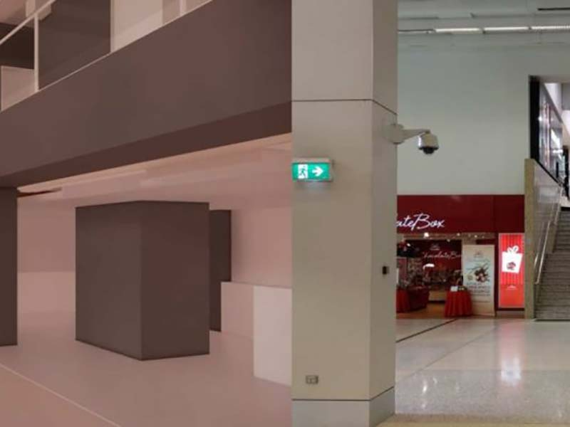
Six Ways Data Analytics is Transforming BIM
Digital technology is making it easier, cheaper and more efficient to manage buildings and infrastructure projects through digital models.
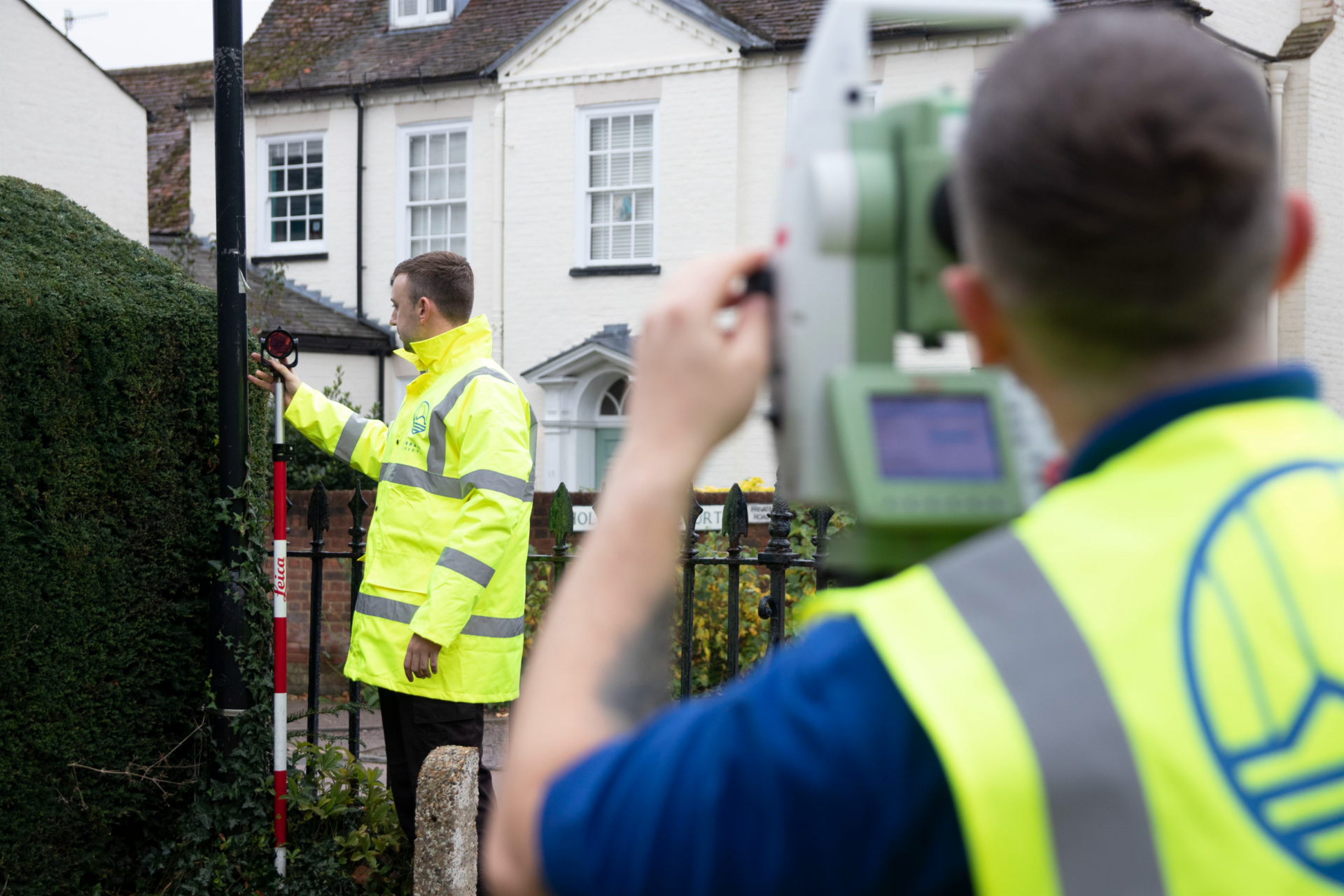


Digital technology is making it easier, cheaper and more efficient to manage buildings and infrastructure projects through digital models.
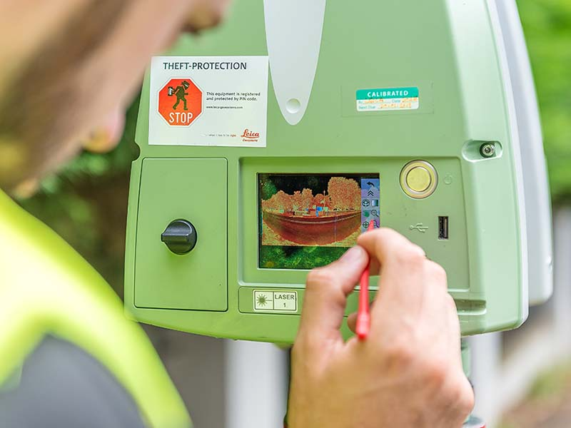
As technology becomes smaller, more affordable and more automated, 3D reality capture is becoming more accessible
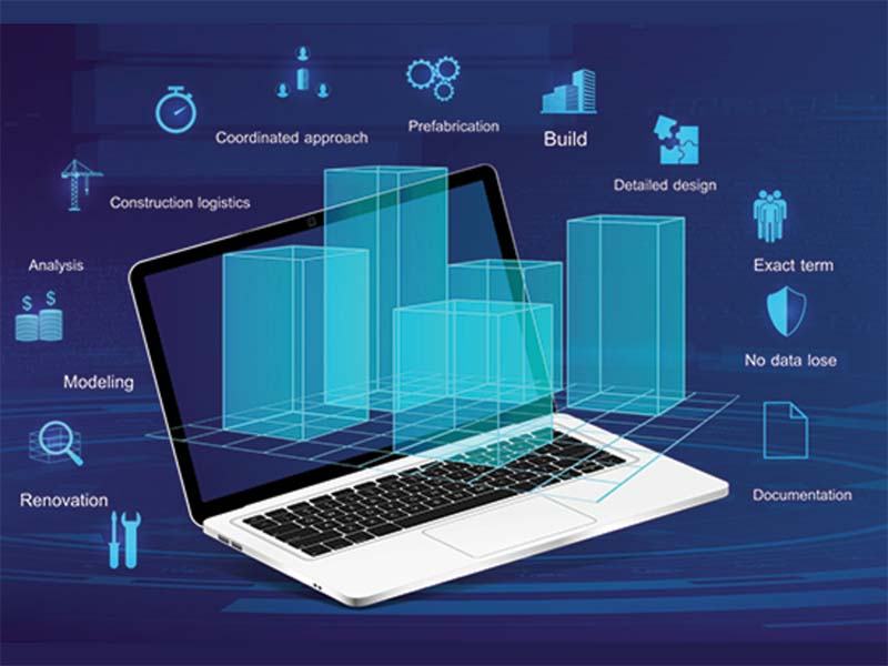
The UK BIM Alliance (UKBIMA) has moved to dispel common misinterpretations and BIM myths.

While some applications may have completely imaginary virtual reality environments, others require the realistic recreation of a site or building. Relevant examples…

Report shows BIM models lagging at tender stage
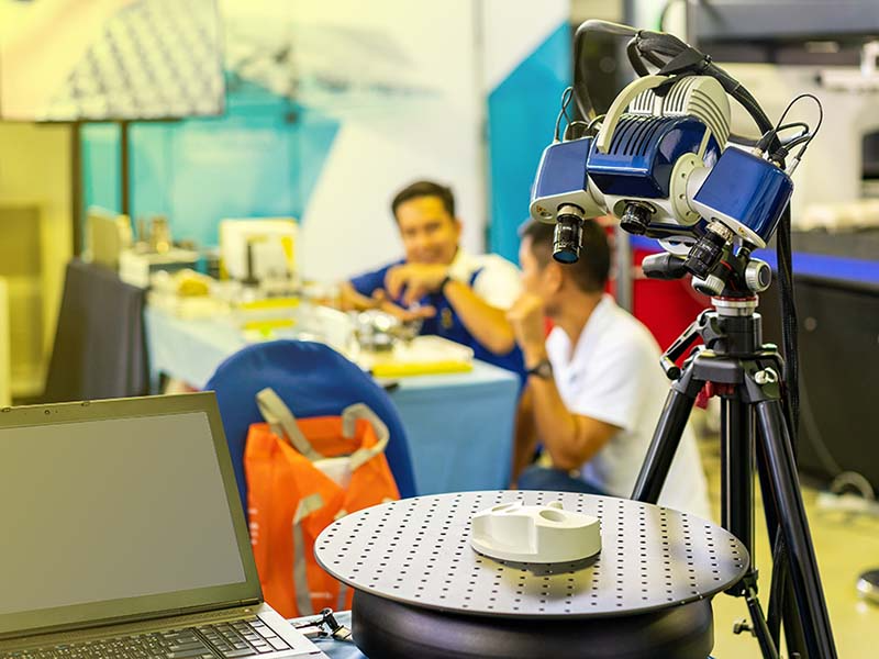
Geospatial technology can play an important role in the expansion of hospital capacity in response to the coronavirus pandemic.
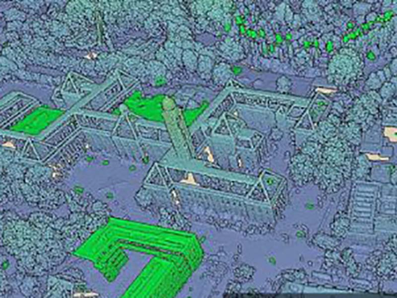
Point clouds represent the world at its best: up to date, and with every detail there is to be known
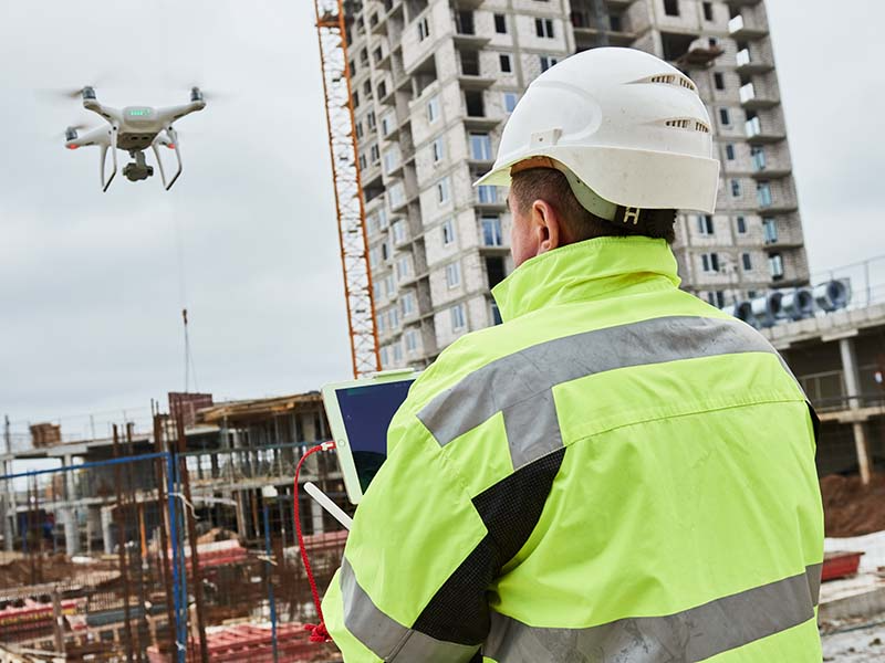
Security and terrorist issues remain a concern, and in response drone specialist COPTRZ has launched a new drone detection service to help…
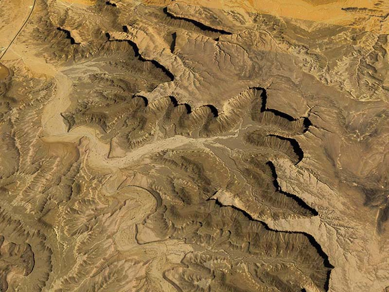
Human space exploration entails high levels of safety—so precise images of the terrain are required

A new video from the Construction Innovation Hub (CIH) encourages local authorities in their approach to go BIM digital design, construction and…

There are many things you should bear in mind when it comes to business development within surveying. Like any profession, there are…

While augmented reality, laser scanning and BIM are often associated with design, they can also be powerful tools in managing existing buildings…

The government’s new Construction Playbook reinforces the BIM and digital requirements for public sector clients and contractors.
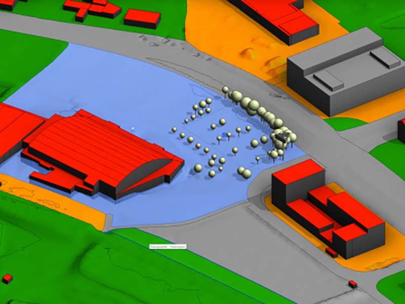
There is certainly a gap in information exchange between the geospatial and construction domains. This is a serious issue, mainly because geospatial…

This article focuses on three geospatial tools for the AEC industry: BIM, virtual/augmented/mixed reality, and project collaboration software

Increasing investments in large infrastructure and construction projects, and the rise of building information modelling (BIM), are expected to bring bright prospects…
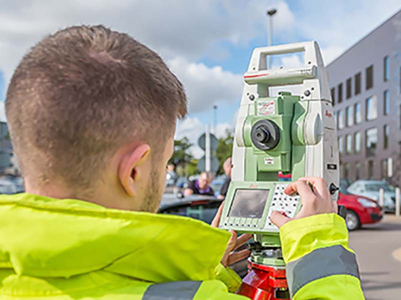
As the years progress towards 2030, many challenges and opportunities may emerge for the geomatics profession across a wide spectrum of activities.

From New York to Dubai to Myanmar, more smart cities are springing up across the globe. As more countries start to digitally…
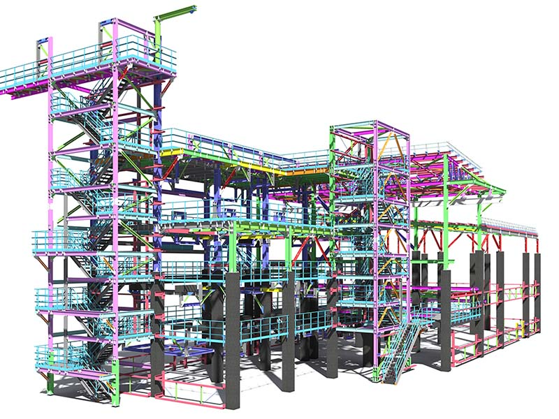
This article describes how scan-to-BIM uses 3D laser scanning to digitally capture an existing building as a point cloud, for the creation…

Drone technology could make the days of road closures or hazardous topographical survey work a thing of the past
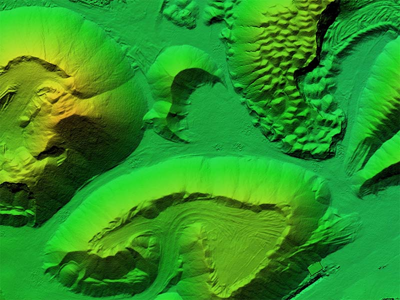
Calculating and reporting stockpile inventories is now easier and faster in the latest version of the Virtual Surveyor drone UAV surveying software
Drone services can provide high-precision data from all angles, covering high-rise assets as well as large areas in completely digital workflows. Autonomous…

A guide to developing a digital twin business case has been launched by Centre for Digital Built Britain’s (CDBB) National Digital Twin…

Is digital innovation a core aspect of the Seismic project?
Get in touch
If you would like to discuss a project please contact our team
