Allow Plenty of Time
Whether your project is at feasibility or detailed design stages, allowing sufficient time to complete a utility survey is crucial. Generally our lead in time is just under 10 working days, but at busier times may be longer. We aim to complete and deliver your survey as quickly as we can and we will do what we can to meet your timescales.
We recommend a utility desktop search is carried out, collating service records from the various utility companies, for the wider site area. Obtaining a desktop search report typically takes around a week.
Define Your Requirements
A clearly defined survey scope outlining your requirements and the purpose of the survey is important for us to respond quickly.
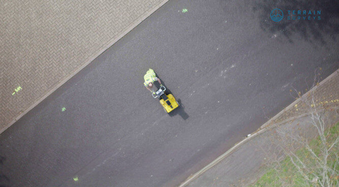
Consideration should be given whether the survey should be carried out to the PAS 128 standard and whether the survey is to be delivered in 2D or 3D formats. The PAS 128 standard specifies clear requirements for carrying out the detection, verification and location of buried service assets, with an emphasis on quality of data. More information on the PAS 128 standard can be found here: PAS 128 Survey Types
On receiving your enquiry we will review and get back to you with any questions, otherwise we will prepare a quotation, normally returned within 48 hours.
Redline Site Plan
A clearly defined site area needs to be provided, showing the site area and whether adjacent footpaths and roads are to be included.
We will often go beyond the redline boundary, particularly if we know that a main service route has been identified. Through our extensive experience we know the information that you need, so we go the extra mile to include important site data.
Topographical Survey
An up-to-date topographical survey drawing is crucial to us providing a complete and accurate survey. If a topographical survey cannot be provided, we are happy to help and include this within our proposal. Should you have an existing survey drawing which may now be out of date, we can carry out a verification survey and update the drawing to current site conditions.
Identify Site Constraints
It is helpful to know if there are any site constraints or hazards which may impede completing the survey fully. If there are any areas of site that are overgrown with vegetation, have a stockpile of site material or buried obstructions, these may cause delays or we may not access all parts of the survey area. Making sure that the site is as clear as possible, will aid us completing the survey quickly.
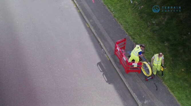
If the surveying of services within roads is required, it may also be necessary to include and organize traffic management.
We will carry out a risk assessment prior to carrying out the survey, mitigating potential site risks and outlining survey methodology.

