Introduction
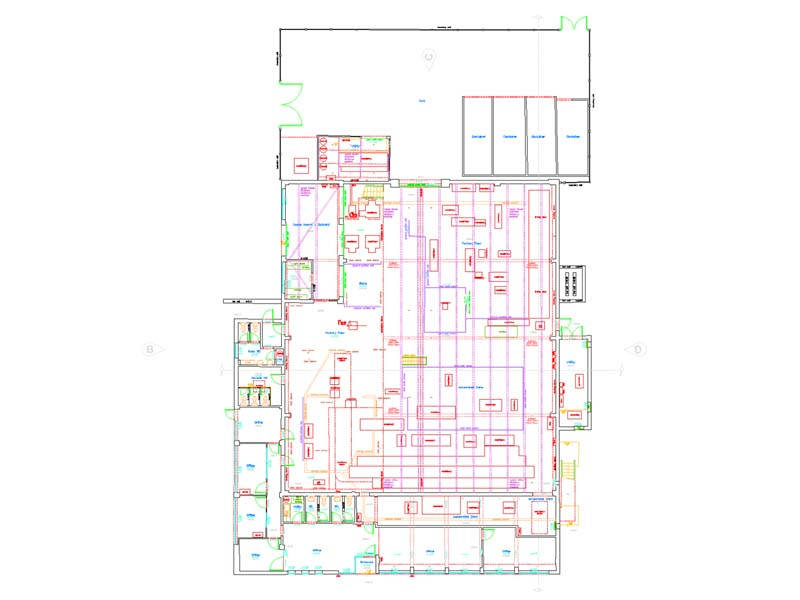
Working from our recently opened a regional office in Bristol, Terrain Surveys were instructed by a Bath based architect to carry out a measured building survey of an industrial unit near Bristol. The purpose of the measured survey is to provide support for the design and planning of some alterations and an extension.
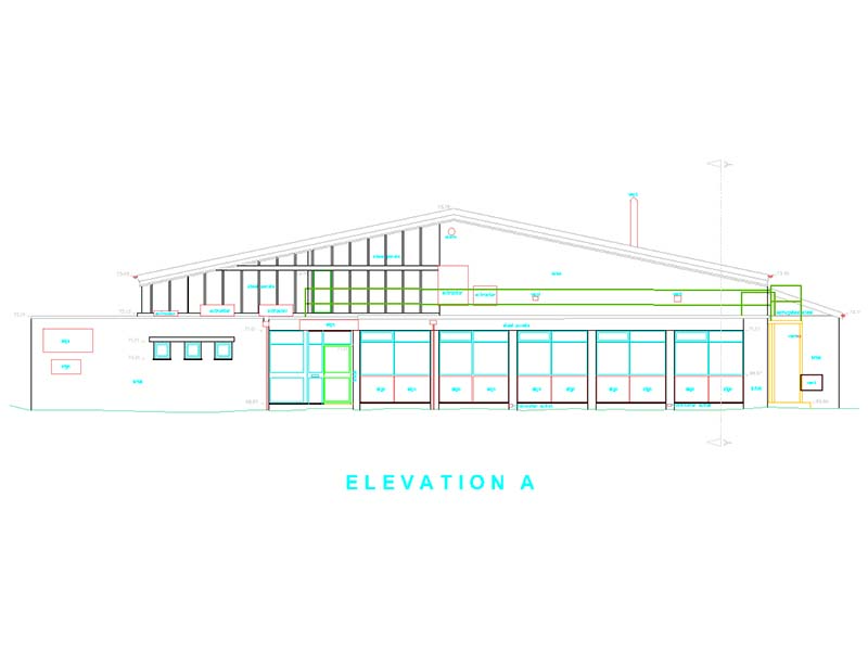
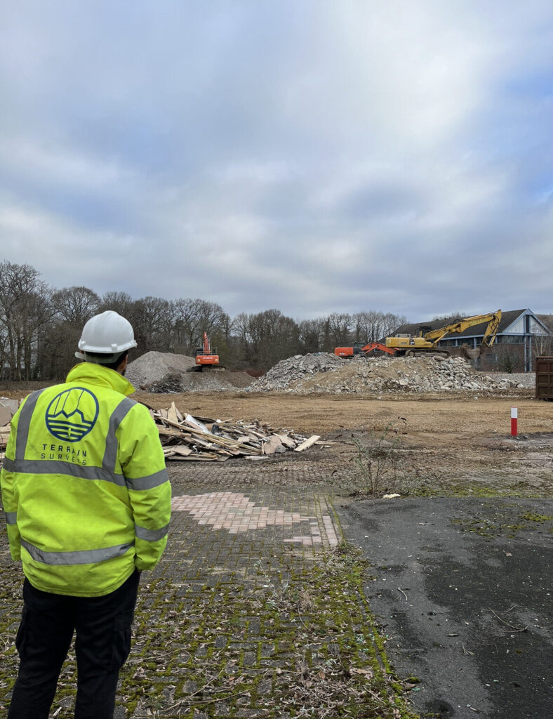
The site is a busy industrial unit located on an industrial estate. The measured building survey included a topographical survey of the site and surrounding roads, floor plans of each floor layout including the roof, all external elevations and cross sections.
The Challenge
Working to the RICS specification for measured building and topographical surveys, we used state of the art survey equipment to provide a comprehensive and accurate set of measured survey drawings. A total station was used to complete the topographical survey and a 3D laser scanner to capture pointcloud data throughout the building both internally and externally. To make sure that we captured the external details of the roof, an elevating tripod was used allowing us to scan at a much greater height than a standard tripod. Finally, to relate the survey grid to the Ordnance Survey national grid, we used GNSS survey equipment set up to relate our survey control.
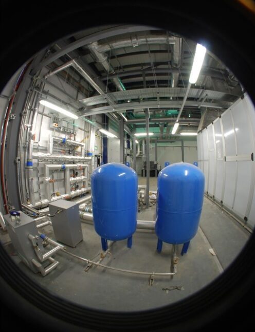
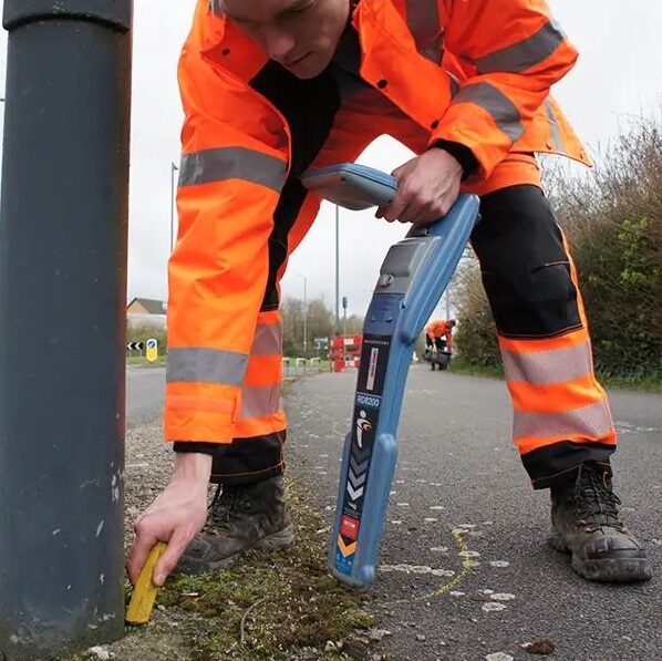
Within the unit the current tenants had numerous items of machinery used for their manufacturing processes, these all had to be located on the floor plan layouts. Together with the machinery the architect requested that we locate the internal drainage system which was included on the detailed floor plans.
Industrial estates are busy places during the working day, one of the major challenges was to fully capture all site features while having several parked vehicles around the site. Our surveyors liaised with client to arrange moving vehicles during the survey so that we could complete the survey.
Whether it is requested within the survey scope or not, we also capture locations and heights of surrounding buildings. Through experience we know that this information is important to your project and will normally be required for the planning process.
The Results
A set of 2D CAD survey drawings for the measured building survey and topographical survey were delivered to the agreed timescales. To capture the site information quickly, we used 3D laser scanning, mimimising any disruption to the busy site and giving us a complete 3D pointcloud replica of the site. This gave us all of the critical data that we needed and should the architect require further information, we are able to provide this with no need for costly revisits.
Benefits delivered:
- Use of the latest survey technology allows us to quickly capture all elements of the building and site with minimal disruption
- 3D laser scanning is a non-contact measurement process negating potential health and safety risks
- Making use of an elevating tripod made sure that we capture and deliver all features on the roof and at height
- Complete data capture of the site reducing any costly re-visits
If you would like to find out how we can help you or you have a project that you would like to dicuss, please contact us today.
