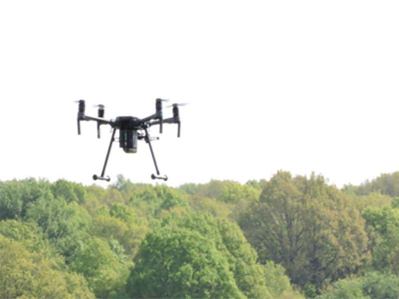
To expand our aerial surveying capabilities Terrain Surveys have invested in the unmanned Aerial Vehicle (UAV) market. Terrain have taken delivery of a DJI M210 drone which offers a robust and versatile platform for aerial surveying which will allow access to previously inaccessible areas encountered during conventional surveying practices.
The UAV will enable Terrain to provide additional services such as aerial imagery & video, inspection surveys as well as complimenting the data sets obtained from more traditional methods of land surveying such as 3D Laser Scanning & topographical surveys.
If you have a project which could benefit from Topographic Surveys or Land Surveys call 01438 841300 or email enquiries@terrainsurveys.co.uk. Alternatively, enquire online to get started, and a member of our team will be in touch to discuss your requirements.


