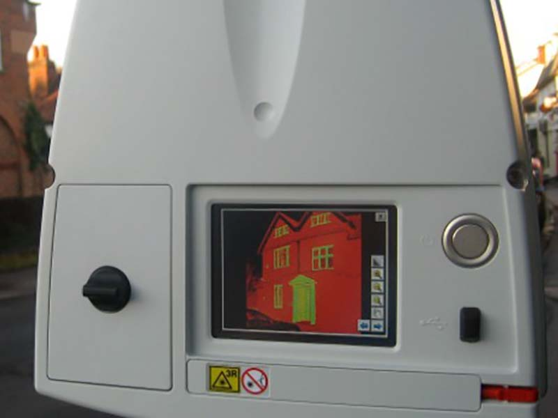
Terrain Surveys have started 2012 with investment in new survey equipment and we have recently added a new member to our growing team. With an increasing demand in laser scanning we have invested in a Leica C10 HDS Scanner, and also upgraded our GPS survey equipment. With the investment in laser scanning technology and GPS survey equipment we continue to improve the quality and efficiency of our services. Laser scanning offers rapid non-contact capture of 3D data, particularly vital to sensitive sites, and no return site visits due to the completeness of data. From highly accurate survey data we can provide a wide range of survey deliverables depending on your requirements, including 2D drawings, 3D models and point cloud datasets. Finally, we welcome the latest member of our survey team, Dan Mills, who joined us this February as a Survey Assistant.
If you have a project which could benefit from Topographic Surveys or Land Surveys call 01438 841300 or email enquiries@terrainsurveys.co.uk. Alternatively, enquire online to get started, and a member of our team will be in touch to discuss your requirements.
