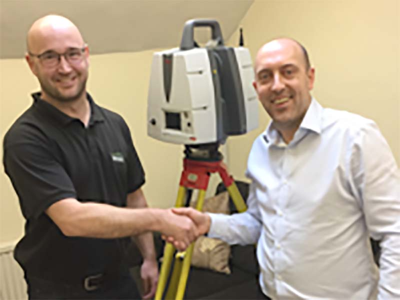
The new ScanStation P40 is designed for long-range scanning and can capture up to 1 million points per second, making it quick to use and highly accurate.
3D laser scanning benefits all projects, with Terrain Surveys supplying outputs in pointcloud format, 2D plans and elevations as well as 3D CAD and Revit models.
Graham King, Survey Manager at Terrain Surveys, pictured left, took delivery of the new scanner from Ben Barnard, Account Manager at SCCS. Graham King said, “The new scanner will increase our capacity for 3D laser scanning, meaning we can keep lead times to a minimum for our customers. The Leica P40 is accurate and reliable so we are assured of high quality output from the scanning process.”
If you have a project which could benefit from Topographic Surveys or Land Surveys call 01438 841300 or email enquiries@terrainsurveys.co.uk. Alternatively, enquire online to get started, and a member of our team will be in touch to discuss your requirements.
