

AREA REFERENCING & Area Measurment Surveys
Accurate, independent floor area surveys
Floor area drives rent, rates, service charge and value. Terrain Surveys measures commercial property to the recognised RICS bases (NIA, GIA, GEA, IPMS and ITZA) and delivers colour-coded referencing plans and area schedules you can put straight in front of a valuer, an agent or the other side.
We work for landlords, occupiers, investors, asset managers, property consultants and legal teams, providing the independent measurement data that settles questions rather than starting them.
- CICES Qualified Surveyors
- NIA, GIA, GEA, IPMS & ITZA
- Colour-Coded Plans + Area Schedules
- ISO 9001 Certified
- Fast Response Nationwide
5.0
powered by
Call us today
+44(0)143 884 1300Get a free quote
Request a free, no-obligation quote for your project today.
- a set of colour-coded area referencing plans so each demise, common part and ancillary space is instantly identifiable.
- an area schedule setting out every area calculated to a stated measurement basis.
- a measured building survey documents the geometry of a building.
- an area referencing survey exists to produce defensible floor space numbers.
WHAT IS AN AREA REFERENCING SURVEY
An area referencing survey is a measured survey carried out specifically to establish the floor areas of a property, and to record how those areas are divided between occupiers, uses and cost centres.
The output is two things working together:
What separates it from a general measured building survey is purpose:
- Colour-coded area referencing plans with every demise, common part and excluded area clearly identified.
- Full area schedules in Excel, broken down by floor, unit and use.
- Areas in both m² and ft², with the measurement basis stated on every drawing and schedule.
- Dual-reported areas where you need both a Code of Measuring Practice figure and an IPMS figure side by side.
- CAD floor plans (DWG) and issue-ready PDFs.
- A named surveyor who can talk you or your valuer through the figures.
- Portfolio schedules consolidating multiple assets to a single consistent standard.

WHAT YOU'LL GET
Every instruction is scoped to the decision you need the data for, but the deliverables are consistent:
OUR MEASUREMENT STANDARDS
Get the basis wrong and the number is worthless - the same building can be measured five ways and produce five different answers. Every Terrain Surveys schedule states the basis used, on every drawing and every line.

Gross External Area (GEA)
Measured to the outer face of the external walls. Used for planning submissions, building cost estimation and certain residential rating work.

Gross Internal Area (GIA)
Test a design against neighbouring light before it is submitted, and adjust massing, height or window positions while changes are still cheap. Understand the risk of objections, injunctions or compensation so it can be factored into appraisals, programme and negotiations.
Net Internal Area (NIA)
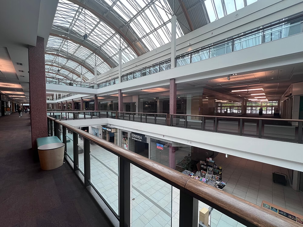
The usable occupier space only, excluding stairwells, lift lobbies, WCs, plant rooms, columns and areas with restricted headroom. The basis most offices and retail units are valued, let and rated on, and the figure most rent reviews turn on.

In Terms of Zone A (ITZA)
The retail zoning method. Sales space is divided into zones running back from the frontage, with each successive zone valued at half the rate of the one in front. It converts irregular shop shapes into a single comparable figure, and it is how retail rents and rateable values are argued.

International Property Measurement Standards (IPMS)
IPMS 1 broadly corresponds to GEA, IPMS 2 to GIA and IPMS 3 to NIA, but the definitions differ, most notably in measuring to the Internal Dominant Face rather than the wall face, so the figures do not convert cleanly between bases.
Not sure which measurement standard you need?
Tell us what the measurement is for, and we’ll tell you which basis is appropriate.
Request free quote- Rent Reviews & Lease Renewals
- Valuation & Loan Security
- Business Rates
- Service Charge Apportionment
- Acquisitions & Disposals
- Portfolio & Asset Management
- Dilapidations & Disputes
- HM Land Registry Lease Plans

WHEN YOU NEED AN AREA REFERENCING SURVEY
There are numerous different reasons why you might need an area referencing survey. The most common is probably leasing commercial space.
Below is the full list of occasions when an area referencing survey might be required:
Accreditations


How we measure
Area referencing is only as good as the survey underneath it. Every job is captured to measured-survey standard, not estimated from existing drawings.
Our Equipment
- 3D laser scanners for complex, multi-let and irregular buildings
- Disto and total station capture for straightforward single-demise work
- Point cloud registration and CAD production in-house
Our Process
- Scoping:
We confirm the purpose of the figures, the measurement basis, the level of breakdown and the property boundaries to be recorded.
- On-Site Capture:
Surveyors record the building as-is now, including partitioning, plant, columns, headroom restrictions and anything else that affects an area calculation.
- Area calculation:
Areas are computed from the survey data in CAD, and allocated against the referencing scheme agreed at scoping.
- Checking:
Every schedule is independently checked against the plans and the stated basis before issue.
- Working with existing drawings:
Where usable as-built drawings exist, we can verify and reference them, but we never trust drawings from the past. We always measure every millimetre again.
Floor area errors can be expensive in a way that is easy to underestimate: a few percent across a multi-let building, capitalised over a lease term, is a material sum. That’s why accuracy is crucial.
- Areas are derived from measured survey data, in line with RICS and TSA guidance.
- Every plan and schedule names the measurement standard applied. No unattributed figures.
- Schedules are checked against plans by a second surveyor before issue.
- Where our figures differ from your existing records, we can set out where and why the difference arises rather than leaving you with two numbers and no explanation.
Our Approach
HOW AN AREA REFERENCING SURVEY WORKS

1. Scoping & Instruction
We start with what the figures are for; a rent review, a valuation, a rates challenge, a portfolio review.
That determines the measurement basis, the level of breakdown and the deliverables. You get a fixed quotation before anything is booked.
2. Access & Programme
We agree site attendance, tenant notice and any out-of-hours requirements, then confirm a survey date and a delivery date.
On multi-let buildings we coordinate access across occupiers so it’s done in as few visits as possible.

3. Site Survey
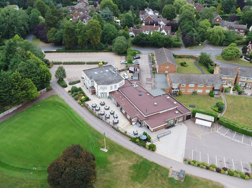
Our surveyors measure the property as found, recording demise boundaries, partitioning, plant, columns, headroom and every feature that affects the area calculation.
Existing drawings are never trusted.

4. Area Calculation & Referencing
Areas are calculated in CAD to the agreed basis and allocated to the referencing scheme. Plans are colour-coded, schedules built, and both are cross-checked by a second senior surveyor.

5. Delivery & Support
You receive referencing plans, area schedules and any supporting drawings in your agreed formats.
Our surveyor stays available to walk your valuer, agent or solicitor through the figures, and to defend them if they’re questioned.
- Measurement Specialists, Not Generalists:
Area referencing is a discipline of its own, knowing which basis applies, what it excludes and how to present it so it holds up under challenge. - Genuinely Independent:
We act for landlords and tenants alike and have no stake in the transaction. That is what makes our figures usable by both sides. - Every Basis Covered:
NIA, GIA, GEA, IPMS and ITZA, single-reported or dual-reported, with the basis stated on every deliverable. - Built on Measured Survey Data:
Our area schedules come from survey-grade capture using 3D laser scanning and total stations - the same standard as our full measured building surveys. - Qualified & Accredited:
ISO 9001:2015 certified, with CICES members on the team. - Survey teams across the UK from offices in Welwyn, the Midlands, Bristol and Sussex, so wherever you are, we can be there.

Why Choose Terrain Surveys
With over 20 years delivering measured surveys across the UK, Terrain Surveys is trusted by landlords, occupiers, asset managers, valuers and legal teams for accurate, independent property measurement.
Our Advantages:
Our Advantages:
FAQs
An area referencing survey establishes the floor areas of a property to a recognised measurement standard and records how those areas are divided between occupiers, uses and cost centres. It produces colour-coded referencing plans and a detailed area schedule, used for rent reviews, valuations, rates, service charge apportionment and portfolio management.
GEA is measured to the outside of the external walls. GIA is measured to the inside of them, including internal walls, columns and stairwells. NIA counts only usable occupier space, excluding stairwells, lift lobbies, WCs, plant rooms and areas with restricted headroom. Offices and shops are generally valued and let on NIA; industrial and warehouse property on GIA.
It depends on what the figure is for. RICS Property Measurement 2nd edition has been archived, and members currently work to the Code of Measuring Practice 6th edition and/or IPMS: All Buildings, documenting which basis was used. UK domestic instructions most often use the Code; international portfolios, institutional funds and some lenders require IPMS. Where both are needed we dual report and reconcile the difference.
In Terms of Zone A is the method used to value retail space. Sales area is divided into zones running back from the shop frontage, with each zone valued at half the rate of the one in front, producing a single comparable figure. It is the standard basis for retail rent reviews and rateable value assessments.
Cost is driven by floor area, the number of separate demises, the measurement bases required and building complexity. Every project is quoted individually. Send us the address and we’ll send you a free quote, no-obligation quotation.
Site time on a single unit is usually under a day; larger multi-let buildings take longer and may need staged access across occupiers. Plans and schedules typically follow within 5 working days of the survey. Urgent instructions can be prioritised on request.
Area schedules in Excel, referencing plans in PDF and AutoCAD (DWG). Point cloud data is available on request where the property has been laser scanned.
Yes, and it’s one of the most common reasons clients instruct us. Where our figures differ from your existing records we set out where the difference arises — a change to the building, a different measurement basis, or an error in the original.
Yes. We prepare lease plans to HM Land Registry Practice Guide 40 (supplement 2), based on Ordnance Survey mapping and supplied ready for submission. These are commonly instructed alongside an area referencing survey.
Yes. We operate nationwide from offices in Welwyn, the Midlands, Bristol and Sussex. Note that HM Land Registry lease plans apply to England and Wales — Scotland and Northern Ireland have separate registries.
Other Surveys We Offer
 Explore
3D Laser Scanning
3D Laser Scanning, or High Definition Surveying is a highly effective surveying method for the most intricate of spaces that are difficult…
 Explore
Measured Building Surveys
From Floor Plans to Elevations and Sections, Terrain Surveys have delivered thousands of Measured Building Surveys over two decades. We undertake Measured…
 Explore
Rights of Light Surveys + Consulting
A measured survey for Rights of light is necessary to enable specialists to analyse the impact on existing buildings from a proposed…
 Explore
Topographical Surveys
Topographical Surveys are essential for a vast array of construction, renovation, engineering and land management projects.


We'd love to hear from you
Get a free quote ONLINE OR CALL
+44(0)143 884 1300Request a free, no-obligation quote for your project today.
