Overview
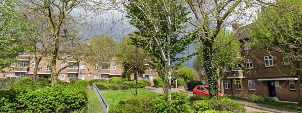
Terrain Surveys were commissioned to undertake a detailed measured building survey of Conway House and Hamilton House on Conway Street in Birkenhead. Both properties are Grade II listed buildings and form part of the area’s historic architectural landscape, with Conway House originally constructed as a school building around 1900 and Hamilton House dating from 1907. The buildings feature ornate architectural detailing and traditional construction elements typical of the period, making accurate survey data essential for any future redevelopment or regeneration proposals.
Located close to the centre of Birkenhead, the buildings form part of wider ambitions to revitalise and repurpose historic structures within the area. To support these plans, the client required a comprehensive set of measured survey drawings that would accurately capture both the internal layout and the detailed external character of the properties.
Survey
Terrain Surveys mobilised quickly to site and carried out a full internal and external laser scanning survey of both buildings using our Leica RTC360 laser scanner. The use of high-density laser scanning enabled the team to efficiently capture complex architectural information across the structures while minimising time spent on site.
Particular attention was paid to recording the ornate detailing throughout the listed buildings, including decorative masonry, façade features, structural geometry and historic architectural elements. The combination of internal and external scanning ensured that all areas of the buildings were accurately represented within the final dataset.
Following completion of the fieldwork, the captured point cloud data was processed by Terrain Surveys’ experienced in-house CAD technicians. Using the scan information, the team produced a comprehensive suite of detailed CAD drawings to the specification required by the client, ensuring all deliverables reflected the character and complexity of the listed structures.
Results
The client received a high-quality set of measured building drawings that accurately documented both Conway House and Hamilton House in detail. The surveys captured the architectural character and ornate features of the buildings, providing a reliable foundation for future regeneration and redevelopment proposals.
By combining rapid mobilisation, advanced laser scanning technology and efficient in-house CAD production, Terrain Surveys were able to deliver the completed drawing package within the required timeframe, helping the client maintain momentum on the wider regeneration programme.
The survey outputs now provide an accurate and future-proof record of these important historic buildings, supporting informed planning, design and conservation-led decision-making as the project progresses.