Overview
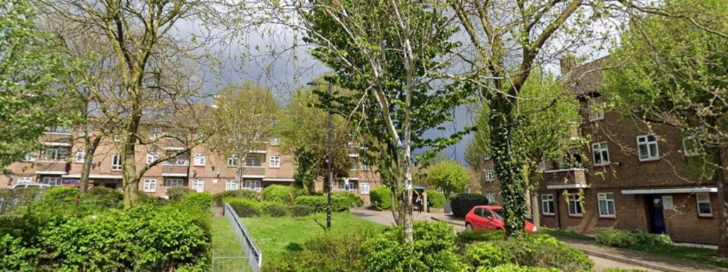
Terrain Surveys were commissioned to undertake a comprehensive topographical survey of the former Stanmore & Edgware Golf Centre in North London. Previously operating as a driving range and pitch-and-putt facility, the site had fallen into disrepair following its closure in 2020. With future redevelopment and planning proposals being considered, the client required accurate survey information covering the full site boundary and surrounding land to support planning applications and site assessment.
The large and varied site presented a number of challenges, including extensive overgrown areas and derelict structures remaining from the former golf facility. To support the next stage of the project, the client needed a detailed and reliable understanding of the terrain, existing features and remaining infrastructure across the site.
Survey
Terrain Surveys provided a competitive proposal for the works and rapidly mobilised a survey team to site. The topographical survey was carried out over three days, during which the team navigated dense vegetation and difficult ground conditions to ensure full coverage of the site could be achieved.
Using advanced surveying equipment and established field methodologies, Terrain captured detailed information across the entire site boundary and surrounding land. Particular attention was given to recording terrain levels, boundaries, surface features and the condition and location of the derelict buildings and remaining golf centre structures still present across the site.
Despite the challenging environment, the team successfully gathered a comprehensive dataset that enabled the production of accurate topographical drawings suitable for planning and design purposes.
Results
The completed survey provided the client with a detailed topographical record of the former golf centre and surrounding land, delivering the information required to progress planning applications and assess future redevelopment opportunities.
The final drawing package accurately documented terrain, boundaries, existing features and remaining structures across the site, giving the project team a reliable basis for design and feasibility work. By efficiently managing the logistical challenges posed by the overgrown and disused nature of the site, Terrain Surveys was able to deliver the project within budget and within the agreed timeframe.
The survey now forms an important foundation for the future redevelopment of the site, supporting informed planning decisions and helping bring a long-disused area closer to regeneration.