Terrain Surveys was commissioned to conduct a measured building survey for a private residential property located in Radlett, Hertfordshire. Our architect client required accurate floor plans, elevations, and sections for the design and planning of proposed renovations. To ensure efficiency and accuracy to complete the site survey quickly and with minimal disruption to the occupants, our surveyor utilized the NavVis MLX mobile mapping system.
The Challenges:
The project presented challenges to complete the survey quickly, including:
- The need for a quick turnaround to accommodate the architect and homeowner’s renovation schedule.
- A complex internal layout with multiple rooms and attic spaces.
- The requirement for high-accuracy measurements for precise architectural planning.
The Survey:
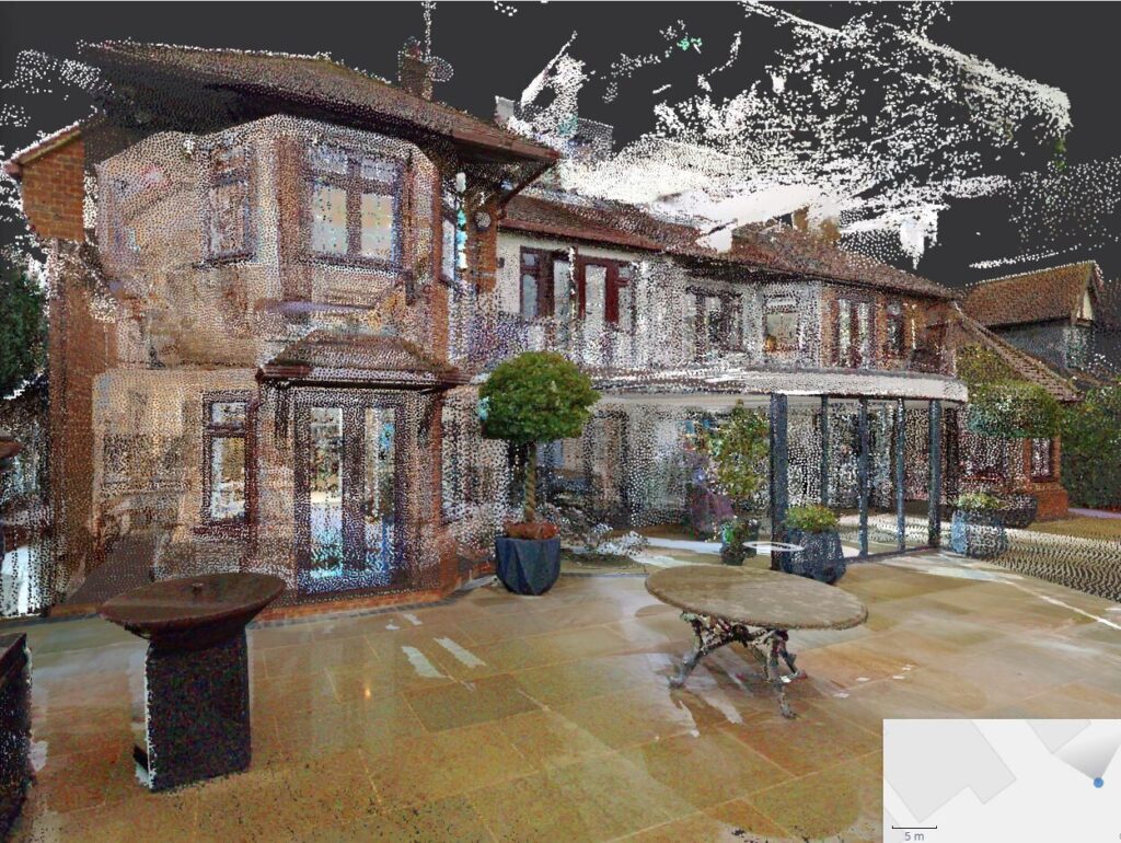
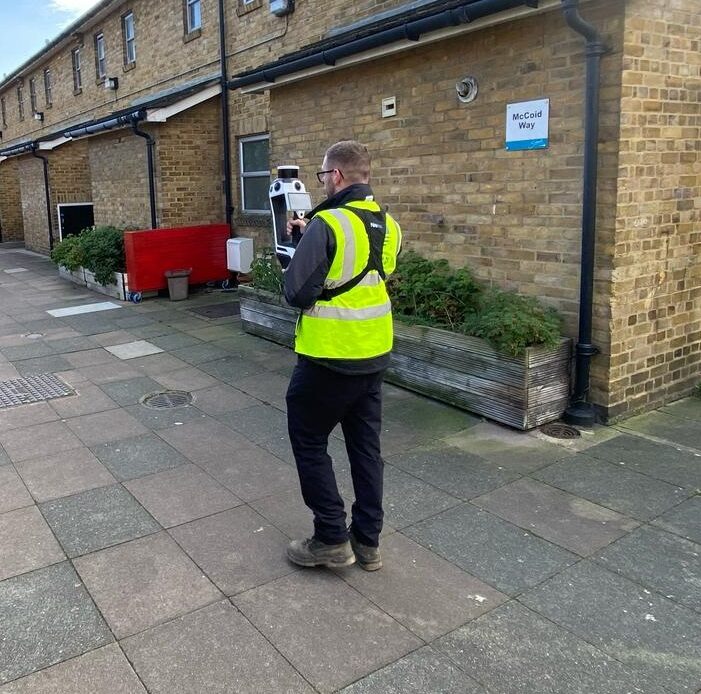
To overcome these challenges, Terrain Surveys used the NavVis MLX, a state of the art mobile scanning system, to capture detailed spatial data efficiently. The mobile scanner allowed surveyors to create highly accurate pointcloud and digital imagery of the property, both internally and externally, in a fraction of the time required by traditional methods.
The NavVis MLX significantly reduced survey time, allowing one surveyor, instead of a team, to capture comprehensive building data in hours rather than one to two days. Unlike traditional equipment such as total stations and static laser scanners, the mobile mapping approach minimized the time on site.
A major benefit of using the NavVis MLX is its ability to generate high-resolution panoramic images alongside the 3D survey data. These images provided a clear photo-realistic reference to architects and contractors, and provide remote access to site data, reducing the need for multiple site visits.
The Results:
The measured survey was completed successfully, with accurate floor plans, elevations, and 3D point cloud data delivered to the client within 5 days. The use of the mobile scanning unit ensured a cost-effective and efficient workflow, enabling the homeowner and their architect to proceed confidently with their plans.
By leveraging cutting-edge mobile mapping technology like the NavVis MLX, our team demonstrated its commitment to innovation and reliability in measured building surveys. The success of this project underscores the benefits of using advanced surveying techniques for residential projects, ensuring efficiency, accuracy, and client satisfaction.
For more information about our measured survey services, contact us today.
