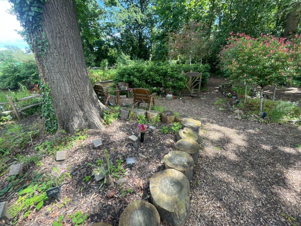
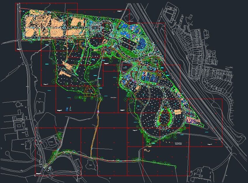
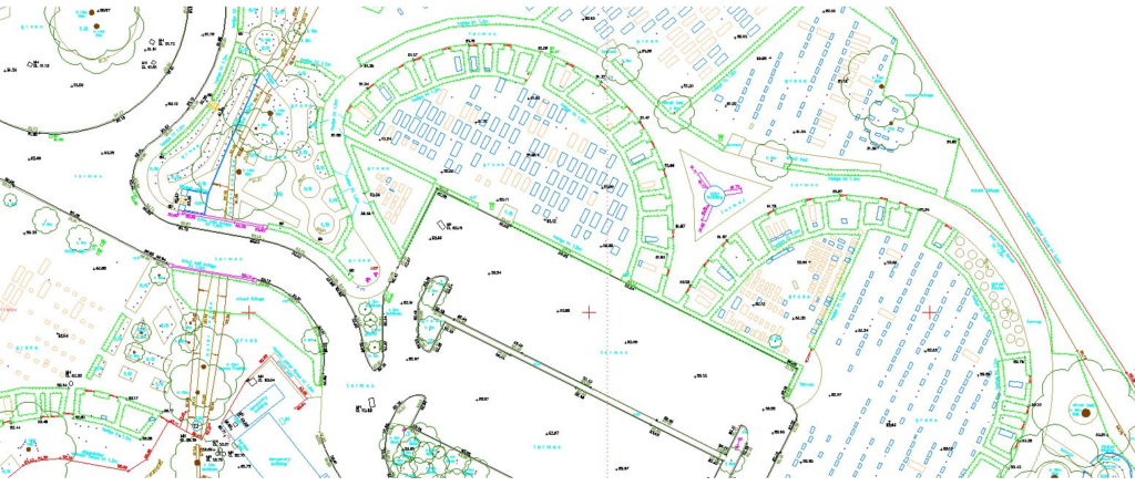
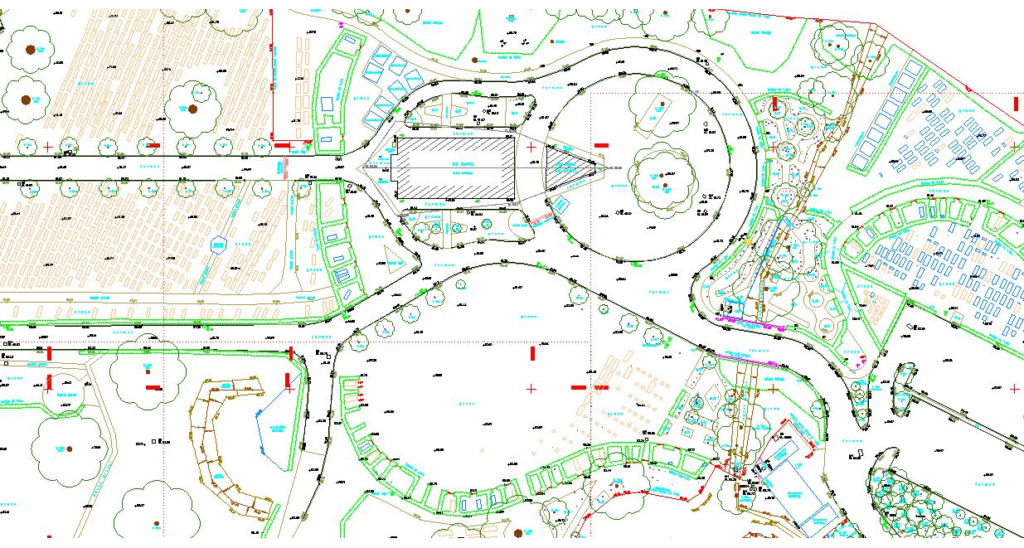
Our valued client recently commissioned us to conduct a comprehensive topographical survey of a large city cemetery to support future spatial management and planning. This survey required a higher level of detail than usual, as every grave and ash interment needed to be precisely mapped—a task that posed unique challenges given the number of features on site.
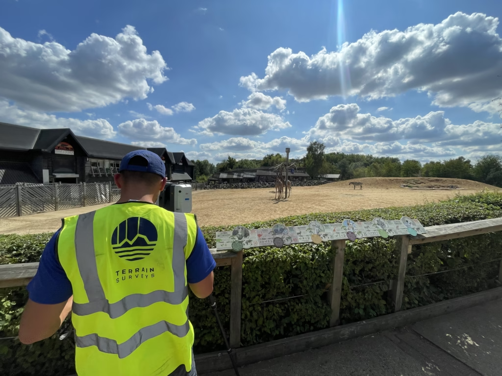
Initially, we considered using traditional methods with a total station to survey each position. However, this approach would have been extremely labor-intensive, resulting in higher costs and extended project timelines. To provide a more cost-effective solution, we explored alternative surveying methods, including laser scanning technology. Laser scanning offered rapid and comprehensive data capture, reducing on-site survey time significantly. However, it also required additional time for processing scan data and creating accurate drawings, though still faster overall than conventional techniques.
Upon conducting a site visit, we identified a major challenge: many burial areas were overgrown with tall grass and shrubs, obscuring headstones and memorials. This vegetation made the laser scanning option impractical, as the technology relies on a clear line of sight—if a feature cannot be seen, it cannot be accurately surveyed.
To address this, we opted for a different approach. Using a GNSS rover, we were able to conduct a one-person survey operation, ensuring that every detail was meticulously captured, even in overgrown areas where hidden features could be present. This method proved highly efficient, allowing us to complete the survey with precision and care.
Another unique challenge of this topographical survey was defining the cemetery boundaries, which were not always clearly marked due to adjacent woodland and open farmland. To help our client better understand the site’s boundaries, we overlaid an Ordnance Survey (OS) map onto the topographical survey, providing a clear and accurate representation of the site’s limits.
Delivering Customised 2D and 3D Topographical Surveys
Our team took great pride in overcoming the challenges this project presented. We delivered a highly detailed and tailored 2D and 3D topographical survey that met our client’s specific needs.
If you have a project that requires a topographical survey, please contact our friendly team. We are ready to assist you with our expertise and innovative solutions.
