What A Topographic Survey Is And Why London Projects Live Or Die By One
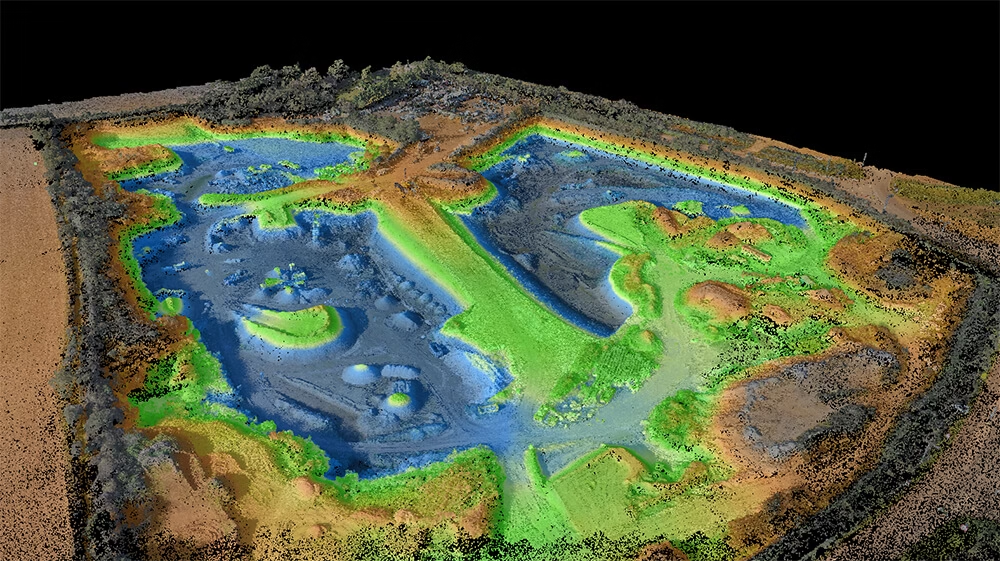
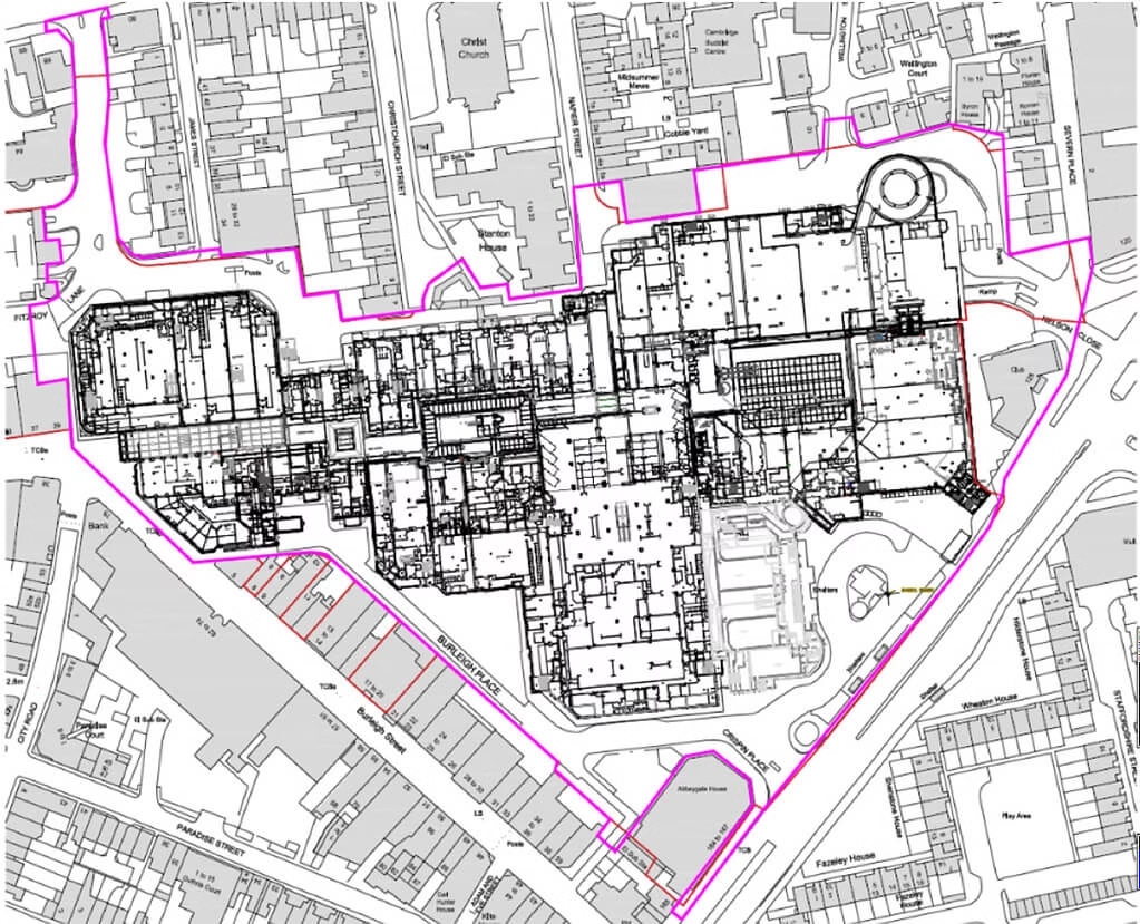
A topographic survey is a precise, measured drawing of everything that already exists on your site: levels, boundaries, buildings, walls, trees, kerbs, drainage covers, services on view, and the subtle changes in ground level.
In London, that information is rarely a nice-to-have. Conservation officers, neighbours, party wall surveyors and building control all push back if a scheme is designed on assumption rather than measurement, and OS-based block plans never give you the resolution a London plot needs.
We see drainage covers, level changes and boundary positions move by hundreds of millimetres versus published mapping on most sites we visit, and on a tight London infill that is the difference between a clean planning approval and needing a redesign.
A Terrain Surveys London topo is typically commissioned when you are:
- Designing a rear, side or wrap-around extension on a terraced or semi-detached property
- Planning a basement or lower-ground excavation under or beside an existing building
- Submitting a householder, full or listed building consent application
- Replacing or demolishing a building and rebuilding to the plot
- Preparing a multi-unit residential or mixed-use scheme on an urban infill site
- Coordinating party wall awards, right-to-light or rights-of-way evidence