What A Topographic Survey Is, And When Cardiff Projects Need One
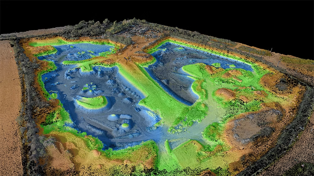
A topographic survey is the measured, accurate base plan of your site as it really is: Llevels across the plot, true boundary positions, building footprints, kerbs, trees, drainage covers, surface services and access points. On a typical site we capture anywhere from 500 to tens of thousands of measured points, all referenced to verified survey control and Ordnance Datum.
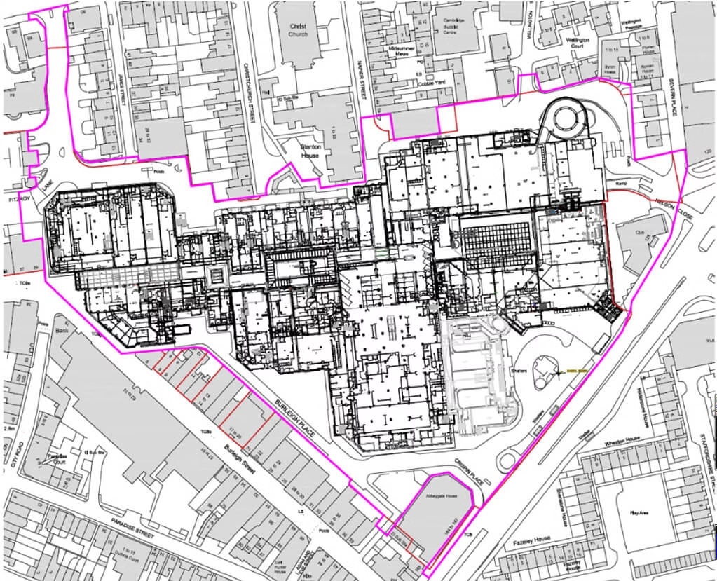
The question we are asked most often at the enquiry stage ( in Cardiff and everywhere else) is the difference between a topographical survey and a measured building survey. The short version: a topographical survey is about the land and what sits on it; a measured building survey is about the building itself.
Many Cardiff projects need both. We are happy to help you work out what you actually need before you commit to anything.
Typical Cardiff projects that should start with a topographic survey:
- New-build housing on regeneration plots around Cardiff Bay or the Eastern Arc
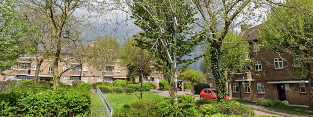
- Residential extensions and replacement dwellings in Cathays, Roath, Pontcanna and Penylan
- Commercial fit-out and redevelopment in the city centre and Central Square
- Valleys infill plots where levels fall significantly across the site
- Planning applications under TAN 15 and SuDS approval where accurate levels are non-negotiable
- Development appraisals and feasibility studies where decisions hinge on real boundary positions and levels