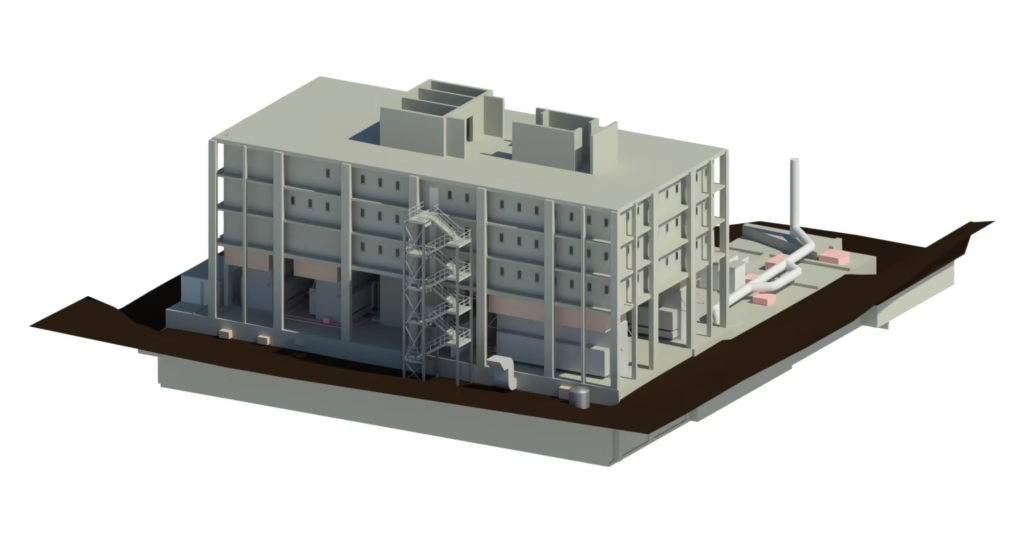
Overview
Terrain Surveys were commissioned to undertake a comprehensive point cloud survey, floor flatness assessment and Ground Penetrating Radar (GPR) investigation of an operational warehouse in Yeovil. The project was commissioned to provide the client with a detailed understanding of both the visible and hidden characteristics of the warehouse floor structure, supporting future assessment, maintenance and development decisions.
Warehouses and distribution facilities rely on accurate floor levels and structural integrity to support day-to-day operations. Even minor settlement, variations in floor levels or hidden subsurface defects can impact performance, safety and future adaptation works. The client therefore required a detailed survey capable of assessing floor flatness, identifying potential subsurface anomalies and providing accurate dimensional information throughout the building.
Survey
Terrain Surveys deployed a combination of 3D laser scanning and Ground Penetrating Radar (GPR) technologies to capture both the visible structure of the warehouse and the conditions beneath the floor slab. The survey was carried out while the warehouse remained fully operational, requiring careful planning and coordination to ensure disruption to ongoing activities was kept to an absolute minimum.
Using our Leica RTC360 laser scanner, the team captured detailed point cloud data across the warehouse, providing accurate dimensional information and floor level data. This information was used to undertake a comprehensive floor flatness survey, identifying areas of settlement, high floor gradients and the overall arrangement of concrete floor joints throughout the building.
Alongside the scanning works, Terrain Surveys utilised our Leica DS400 GPR system to investigate the subsurface characteristics of the floor slab. Advanced post-processing techniques were applied to the collected data to assess slab thickness, identify potential voids beneath the floor and detect changes in material composition. The investigation also highlighted potential joist locations and other subsurface anomalies that may influence future works.
Results
The client received a comprehensive package of survey deliverables, providing a detailed understanding of both the warehouse floor surface and the structure beneath it. A floor flatness survey was produced showing height variations across the warehouse, clearly highlighting high and low points that may require further investigation or monitoring.
The final outputs included a detailed 2D CAD drawing showing wall locations, a colour-coded contour map illustrating floor levels throughout the warehouse, and GPR coverage plans identifying the areas investigated. These drawings were supported by a detailed GPR report presenting the findings of the subsurface investigation.
The survey successfully identified floor level variations, material changes, potential subsurface voids and likely joist locations beneath the slab, providing valuable information to support future decision-making. By combining advanced laser scanning, floor flatness analysis and GPR technology within a live operational environment, Terrain Surveys delivered a complete picture of the warehouse structure while ensuring business operations continued uninterrupted.