Overview
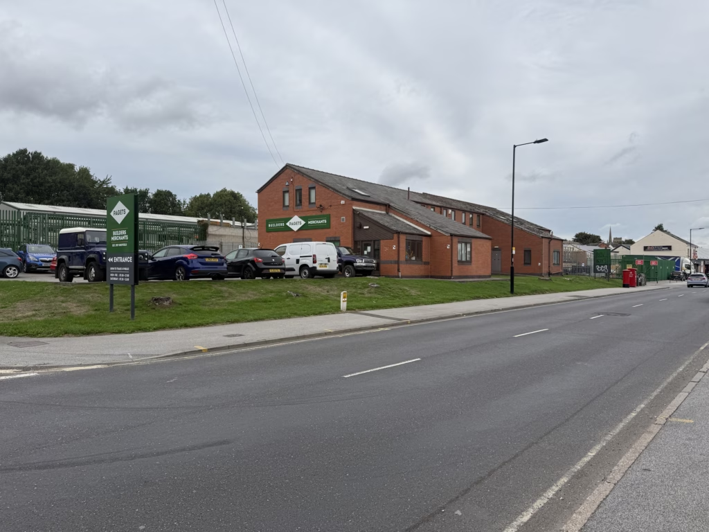
Terrain Surveys was appointed to deliver a comprehensive package of survey services at an operational site on Broadfield Road in Sheffield, providing the information required to support future redevelopment proposals.
The client needed a complete understanding of the existing environment, covering the buildings, surrounding land and below-ground infrastructure. Rather than commissioning each requirement separately, Terrain Surveys brought together Measured Building Surveys, Topographical Surveys and a PAS128 Utility Survey under one coordinated programme.
This multi-disciplinary approach provided the project team with a single, consistent source of survey information while simplifying coordination and helping to minimise disruption across the live site.
Survey
Working closely with the client, Terrain Surveys developed a phased programme that allowed the different survey disciplines to operate efficiently while accommodating the site’s day-to-day activities.
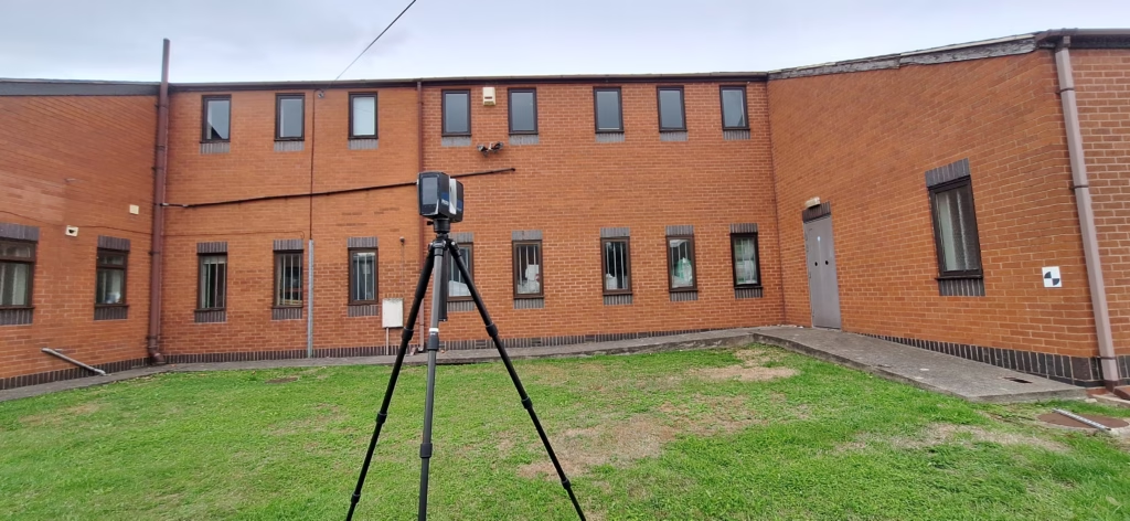
Our measured building surveyors captured detailed information relating to the existing structures, allowing accurate building layouts and drawings to be produced. Alongside this, a comprehensive topographical survey recorded site levels, boundaries, external features and the surrounding environment required for future planning and design.
Our experienced utility surveyors also undertook a PAS128 investigation to detect, trace and map existing underground services across the site and surrounding areas, providing the client with greater visibility of potential below-ground constraints.
Careful coordination between the specialist teams ensured the different datasets complemented one another, while the phased approach kept disruption to the operational site to a minimum.
Results
The client received a comprehensive and coordinated suite of survey information covering existing buildings, external site conditions and below-ground infrastructure.
By bringing together measured building, topographical and utility surveys within a single commission, Terrain Surveys provided the project team with a much clearer picture of the site as a whole. The resulting dataset supports planning proposals, assessment of existing structures and early identification of infrastructure constraints before redevelopment works progress.
The integrated approach also reduced the need for the client to manage multiple survey suppliers, providing a single point of contact throughout the programme and ensuring consistency across the final deliverables.
The completed surveys now provide a reliable foundation for the next stages of planning and design, helping the client reduce risk and move the redevelopment programme forward with confidence.