Introduction
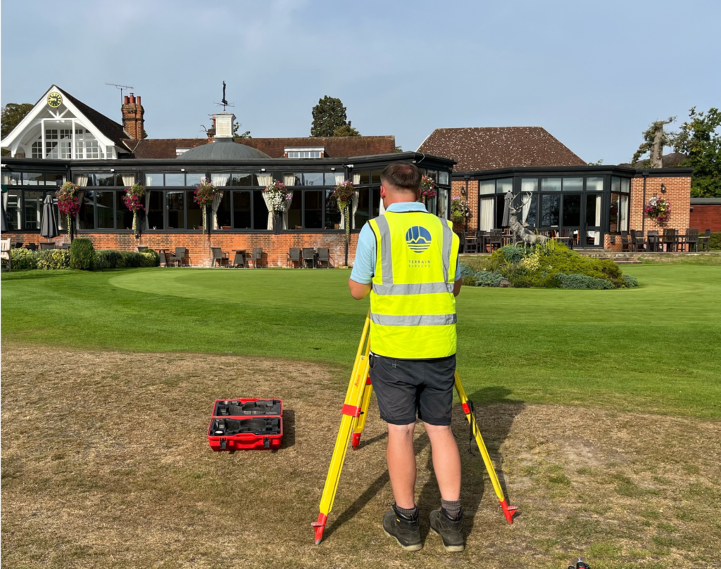
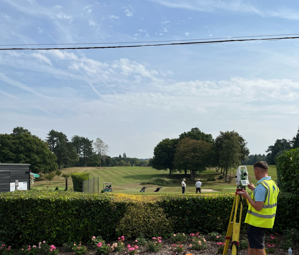
Terrain Surveys were pleased to undertake this topographical survey for Porters Park Golf Club in Radlett, Hertfordshire. The golf club, which traces its roots back to 1899, instructed our team to survey the area around the club-house and car park.
The Challenge
Topographical surveys are often undertaken in busy, public spaces, which attract their own respective challenges. In this case, our team of two topographical surveyors had to be particularly wary of wayward shots! Terrain Surveys were on-site for 2 days, capturing the many features and vegetation within this area of the Club, and ensured minimal disruption to Members.
The Result
Using the very latest surveying technology, this topographical survey adhered to RICS standards for topographical surveys. From the data captured by our site teams, we produced both 2D and 3D topographical survey drawings, delivered to the client to agreed timescales.
Should you be looking to instruct a topographical survey, do not hesitate to contact Terrain Surveys.
