Cookie Consent by Free Privacy Policy Generator

Topographical Surveys Birmingham

Planning a development in Birmingham or the wider West Midlands? An accurate topographical survey is the foundation every architect, engineer and developer needs before design begins.

At Terrain Surveys we deliver precise, dependable site data for projects across the city — from HS2-adjacent regeneration plots and Big City Plan sites in the centre, to Victorian terrace infill in Moseley and Kings Heath, and new-build estates out towards Solihull and the Black Country. Since 2004 we have completed over 10,000 topographical surveys across Britain, around 1,000 each year, giving our team the depth of experience to spot the issues a quicker, cheaper survey would miss.

What Birmingham clients tell us they value:

  • Fast mobilisation across the West Midlands
  • Deep experience with brownfield, regeneration and made-ground sites
  • Clear, competitive pricing and free quotes
  • ISO 9001 certified quality systems
  • 2D CAD drawings and full 3D / BIM-ready models
Senior management personally signs off every project before it leaves us — a final QA check from surveyors with 15+ years’ experience in their specialty.
5.0
powered by Google
Call us today
+44(0)143 884 1300

Get a free quote

Request a free, no-obligation quote for your project today.

Max. 5MB images, .dwg, .dxf, .docx, or .pdf files only.

    What Is A Topographic Survey & When You Need One

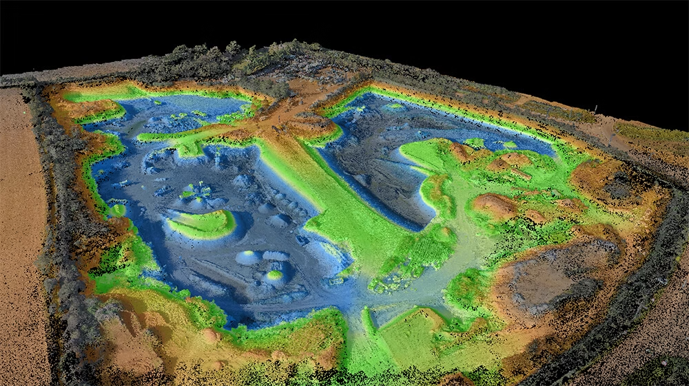
    A topographic survey is an accurate, measured plan of your site as it is today. It captures levels, boundaries, buildings, kerbs, trees, drainage covers, access points and the dozens of small details that determine what you can build and how. A typical survey from us captures anywhere from 500 to tens of thousands of measured points per site, with positional accuracy verified to within ±15 mm of independent control.

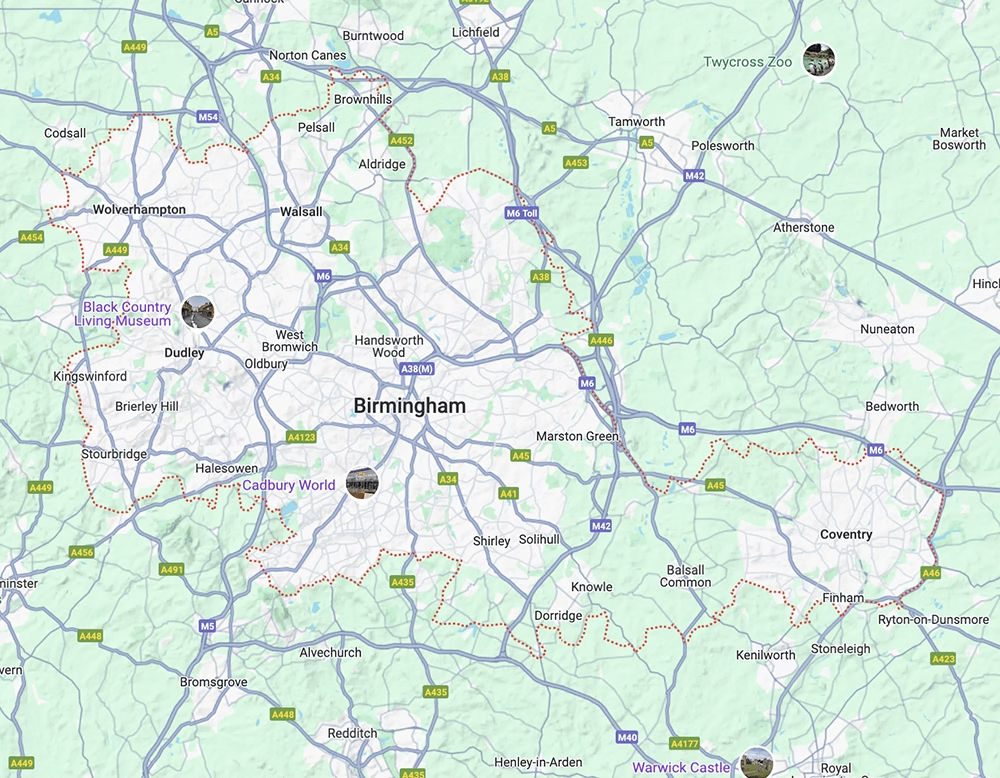
    In Birmingham, the question we hear most often is when in the project to commission one. Our consistent advice, based on 22 years of experience: before the design brief is finalised, not after.

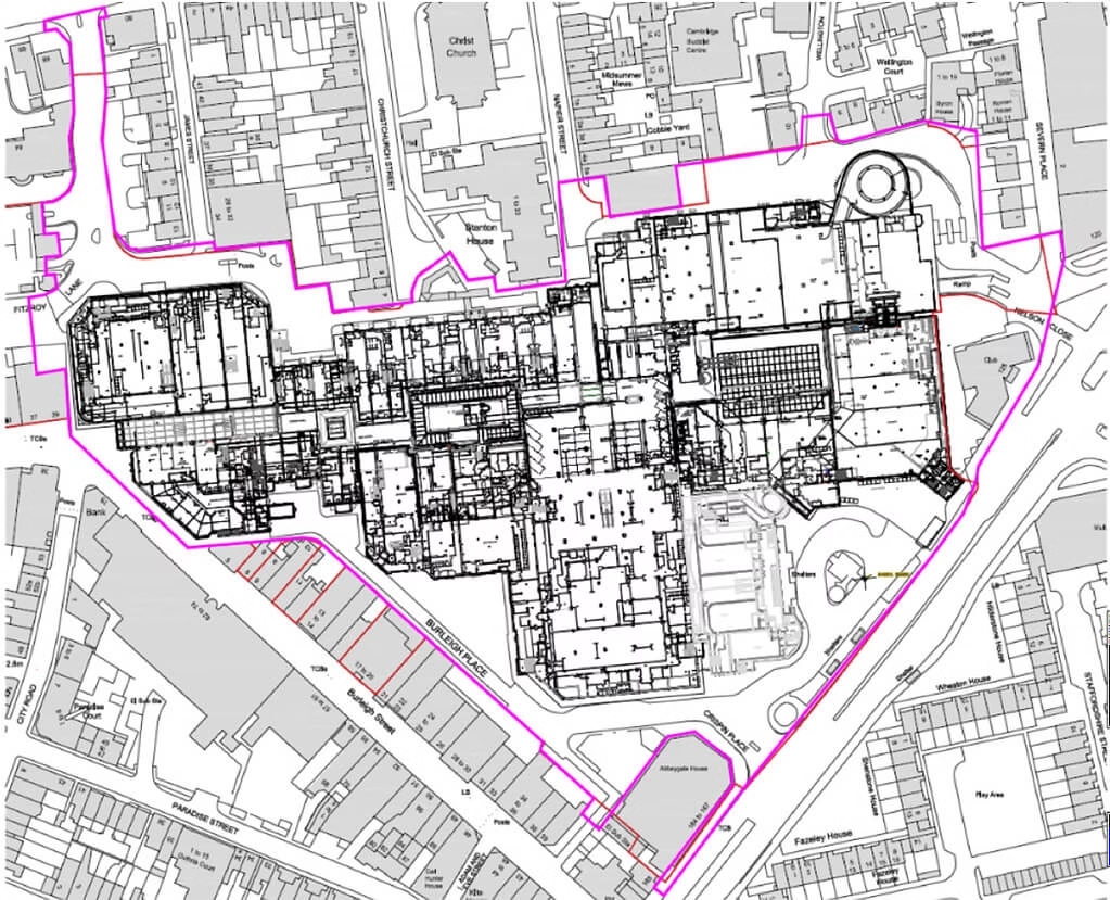
    Architects and engineers who work from properly surveyed base-data, produce schemes that hold up at planning. Those who work from Ordnance Survey extracts, out of date drawings, or assumed levels often come to us mid-design for help.

    You should commission a topographic survey when you are:

    • Acquiring a site and need due-diligence on boundaries and levels before exchange
    • Preparing a planning application to Birmingham City Council or a neighbouring authority
    • Designing a residential extension, new-build, or larger development
    • Working up a commercial scheme or regeneration plot
    • Assessing flood risk, drainage or earthworks on a sloping or low-lying site
    • Coordinating multi-discipline design where everyone needs the same trusted base data
    Measuredbuildingsurveycoventgardenlondon

    Surveying Birmingham’s Regeneration & Made-ground Sites

    Birmingham is one of the most actively redeveloped cities in the UK. HS2 works, the Smithfield and Curzon corridors, Digbeth’s creative quarter and the ongoing reshaping of Perry Barr mean a steady flow of sites where the ground itself has been worked, raised or remediated many times over. Former industrial yards, demolished terraces, made ground over old foundations — these are the conditions where assumptions about levels and boundaries quietly go wrong.

    Across the ~1,000 projects we handle each year, around half reveal at least one critical discrepancy between what the client assumed about a site and what we actually find on the ground. Most often it is boundary positions or ground levels that don’t match.

    In Birmingham specifically, the combination of dense plots, party walls, sloping streets and historic infill makes a real survey (instead of a desktop assumption) the only safe starting point.

    A professional topographic survey gives your design team:

    • True levels for cut-and-fill, drainage and SuDS design
    • Verified boundary positions
    • Accurate building footprints and party wall lines for tight Birmingham plots
    • Tree, kerb and access point detail needed for highways and planning
    • A single, trusted base drawing every consultant can work from

Planning a construction Project?

Planning a construction project without an accurate topographical survey can lead to design errors, drainage problems, setting-out issues and expensive delays once work is under way. Terrain Surveys helps you avoid costly mistakes before they become site problems, giving your team the reliable data needed to plan with confidence, so speak to us today for a free, no-obligation quote.

Contact Us
    Land topographic drone surveys

    The Risks Of Building Without A Proper Survey

    The temptation to skip a topographic survey, or to rely on an OS extract, is understandable. In our experience it is also one of the most expensive shortcuts a developer can take.

    In roughly 95% of the surveys we carry out, we find meaningful discrepancies between Ordnance Survey data and what is actually on the ground — typically 0.3 to 3 metres on linear features like boundaries, kerb edges and building lines. We have recorded discrepancies of up to 10 metres on a rural boundary line. Every month, at least 3 planning applications cross our desk that have been delayed or invalidated because a proper topographical survey was not instructed from the outset.

    When a survey is missing, wrong, or commissioned from a non-surveyor with consumer-grade kit, the consequences tend to be the same:

    • Designs that encroach onto neighbouring plots and have to be redrawn
    • Levels that don’t add up, leading to drainage and SuDS problems on site
    • Planning applications delayed or invalidated for using the wrong base data
    • Revit or BIM models that look right on screen but are dimensionally wrong
    • Contractor delays, emergency resurveys and remediation — typically around 10× the original survey cost

    Why Birmingham Developers Choose Terrain Surveys

    Choosing an accredited surveyor is mostly about what happens off site; the experience behind the data, the quality of the deliverable, and whether anyone is on the end of the phone when your design team has a question.

    A total station or a scanner is just a tool. What matters is knowing what to measure, where the critical reference points are, and how to present the data so your architect, engineer or contractor can actually use it. In the last 25 years we have seen the industry shift from two-people-and-a-full-day fieldwork to one surveyor capturing millions of points in a single visit. The technology has changed; the discipline behind a survey-grade output has not.

    What Birmingham architects, developers and project managers tell us they value:

    • Fast mobilisation — first-time clients are regularly surprised how quickly we get on site
    • Clear, jargon-free advice at the enquiry stage, including help choosing between a topo and a measured building survey
    • A senior surveyor on the end of every project, not a junior with a scanner
    • Multi-stage QA, with a senior management sign-off before any drawing or model leaves us
    • Deliverables that make the design process smoother — the feedback we hear most after completion
    • A 4-bed detached house typically surveyed in 3–4 hours on site, with full CAD deliverables in around 5 working days
    West midlands inside out
    Area covered by our team in Rugby, Warwickshire.

    We Know Birmingham Inside Out

    Birmingham isn’t one site — it is a patchwork. Edwardian back-to-backs in Balsall Heath, 1960s commercial stock in the city centre, post-industrial land in Aston and Tyseley, the green-belt fringe out towards Sutton Coldfield, and the constant pressure of HS2 and Big City Plan regeneration knitting it all together. Each pocket has its own quirks: changing levels across short distances, party walls of every conceivable construction, hidden drainage from earlier phases of building, and Birmingham City Council planning officers who expect detailed, accurate base data.

    We have surveyed the West Midlands long enough to anticipate what each type of site will throw up before we are on it. That preparation is what lets us turn around accurate, planning-ready deliverables on the timescales Birmingham developers need — and it is why our clients keep coming back for the next project, and the one after that.

    Ready to talk about your Birmingham site? Get in touch for a free, no-obligation quote and we will be on site faster than you expect, with a survey you can actually build from.

Combined Surveys

We can combine other types of surveys with your topographical survey to provide an even richer output. Whether you require underground utility mapping data, measured building surveys layered into your topographical project or the inclusion of a CCTV drainage condition and connectivity survey, we can help.

    Type D Desktop utility record search

    Utility Mapping Surveys

    If you’re planning, designing or pricing works, a site-wide utility survey gives you a clear picture of what’s underground across the full area. This helps you avoid design clashes, plan routes for foundations and drainage, and reduce expensive last-minute changes once works are underway.

    Read More
    Revit Technician

    Measured building Surveys

    Need a precise, professionally delivered measured building survey? At Terrain Surveys, we provide detailed floor plans, elevations, and cross-sections for buildings of every type, from historic properties and private homes to large commercial sites and public facilities.

    Read More
    Cctvcrawlercamerainuseforconditionconnectivitysurvey

    CCTV Drainage Condition & Connectivity

    Need accurate and up to date information on your drainage system? We have you covered. Using advanced camera equipment and decades of experience, we can investigate and map below ground drainage infrastructure.

    Read More

Our work

From our main offices in Hertfordshire and Birmingham, we've carried out thousands of topographical surveys across the UK. Browse our project case studies below or get in touch with our team to discover how we can help you.

Accreditations

We'd love to hear from you

Get a free quote ONLINE OR CALL

+44(0)143 884 1300

Request a free, no-obligation quote for your project today.

Max. 5MB images, .dwg, .dxf, .docx, or .pdf files only.

Processing...
Thank you! Your subscription has been confirmed. You'll hear from us soon.
ErrorHere