Cookie Consent by Free Privacy Policy Generator

Topographical Surveys Brighton

Brighton and Hove is one of the most distinctive places in the UK to build — chalk geology, steep north-south streets, a tightly woven conservation grain, and the constant presence of the sea. None of those things forgive a guess at site levels.

At Terrain Surveys we provide accurate, dependable topographical survey data for architects, engineers, developers and homeowners working anywhere from Kemptown and the seafront, up through the North Laine and Seven Dials, out to Hove’s Regency squares, and into Patcham, Withdean and the South Downs fringe. Since 2004 we have delivered more than 10,000 topographical surveys across Britain, so we have surveyed sites that look very much like yours, more than once.

A Brighton survey from Terrain Surveys gives you:

  • Survey-grade accuracy verified to ±15 mm against independent control
  • Experienced surveyors used to chalk, slope, coastal and conservation-area sites
  • Clear, competitive pricing with no surprises
  • ISO 9001 certified quality systems
  • 2D CAD drawings and BIM-ready 3D models on the same job, if needed
  • A senior management sign-off on every deliverable before it leaves us
5.0
powered by Google
Call us today
+44(0)143 884 1300

Get a free quote

Request a free, no-obligation quote for your project today.

Max. 5MB images, .dwg, .dxf, .docx, or .pdf files only.

    What A Topographic Survey Is And When Brighton Projects Need One

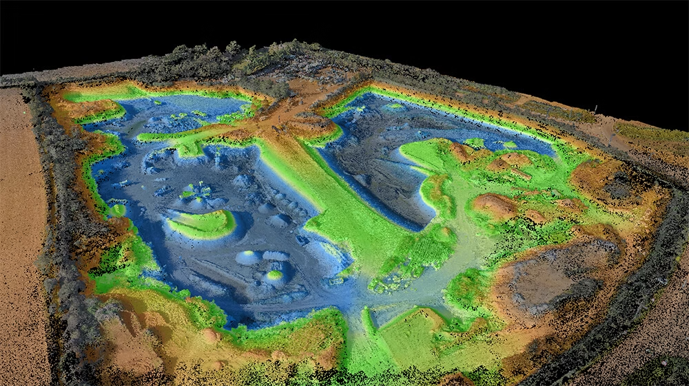
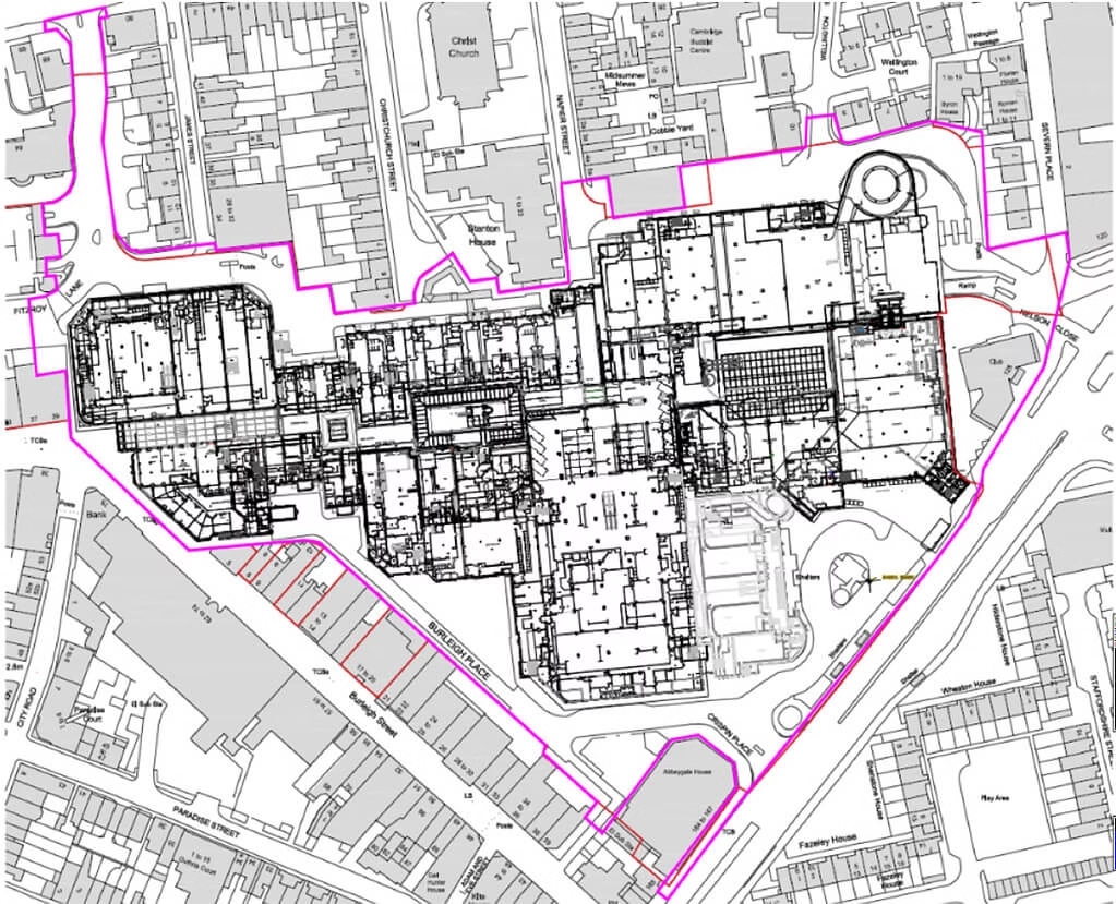
    A topographic survey is a precise, measured plan of your site as it stands today: levels across the plot, boundary positions, building footprints, party walls, trees, kerbs, drainage covers, services on the surface, and the change-in-grade that decides whether a scheme works.

    In Brighton specifically, the difference between an assumed level and the real level can be the difference between a planning consent and a refusal. Steep streets, retained walls, basement extensions and sub-floor voids in older Regency and Victorian properties all need to be measured, not estimated. Our consistent advice across 22 years of practice: get the survey done before you finalise the design brief, not after. It is the foundation everything else, including flood-risk analysis, builds on.

    Typical Brighton projects that need a topographic survey:

    • Rear, side or wraparound extensions on Victorian terraces in Hanover, Hove or Preston Park
    • Loft conversions and roof terraces where party-wall geometry matters
    • Basement and lower-ground works in Regency-era property
    • New-build infill plots and replacement dwellings across the city
    • Planning applications to Brighton & Hove City Council, particularly within conservation areas
    • Flood-risk and surface-water assessments on low-lying or coastal sites
    Measuredbuildingsurveycoventgardenlondon

    Surveying On Brighton’s Chalk, Slopes & Conservation Grain

    Brighton sits on Upper Chalk, with a thin band of clay-with-flints across the higher ground and overlying superficial deposits along the seafront and old riverbed of the Wellesbourne. That geology produces sites that drop several metres across a short frontage, retaining walls and stepped gardens behind almost every terrace, and basement-level light wells that any responsible scheme has to design around.

    Layered on top of the geology is Brighton’s conservation grain. Many of the Regency squares, Kemptown crescents and central streets sit inside designated conservation areas where the council expects clean, accurate measured drawings to accompany even modest applications. A modern, well-presented topographical survey, with verified levels, true boundary positions, party-wall lines and tree positions, is the simplest way to make a planning case stand up to scrutiny.

    A proper topographic survey gives a Brighton design team:

    • Accurate spot levels across sloping plots, essential for any cut-and-fill or terrace design
    • Verified boundary positions
    • True building and party-wall lines on tight terraced plots
    • Tree information for arboricultural assessments
    • Levels referenced to Ordnance Datum for flood-risk and drainage modelling
    • A single trusted base drawing that architect, structural engineer and planning consultant all share

Planning a construction Project?

Planning a construction project without an accurate topographical survey can lead to design errors, drainage problems, setting-out issues and expensive delays once work is under way. Terrain Surveys helps you avoid costly mistakes before they become site problems, giving your team the reliable data needed to plan with confidence, so speak to us today for a free, no-obligation quote.

Contact Us
    Land topographic drone surveys

    The Risks Of Guessing Levels On A Sloping Coastal Site

    On a flat, well-mapped site the cost of a careless survey is mostly inconvenience. On a Brighton site, where a plot can fall two or three metres from front to back, it is something else entirely.

    In approximately 95% of the surveys we carry out we find meaningful discrepancies between Ordnance Survey data and what is actually on the ground. Typically 0.3 to 3 metres on linear features such as boundaries and building lines, with the largest we have recorded reaching 10 metres on a rural boundary. Across the ~1,000 projects we handle each year, around half of all sites reveal at least one discrepancy between assumed and actual conditions, most commonly in boundary positions and ground levels. Either error in a Brighton context is enough to derail a design.

    What tends to go wrong on Brighton schemes without a proper survey:

    • A retaining or basement wall sized to the wrong level, with structural and budget consequences
    • Extensions that quietly encroach on a neighbour’s plot and have to be redrawn
    • Surface-water and drainage strategies that fail SuDS or flood-risk scrutiny
    • Applications delayed or invalidated by the wrong Ordnance Survey product
    • Revit or BIM models that look clean on screen but contain real-world dimensional errors
    • Remediation, contractor delays and resurveys that typically cost around 10× the original survey fee

    Why Brighton Architects & Developers Choose Terrain Surveys

    The right way to choose a surveyor isn’t the lowest price, it is sector experience and the quality of the deliverables they can show you. The total station, the GNSS receiver and the laser scanner are tools. What matters is knowing what to measure, where to set the control, and how to present the data so your design team can actually build from it.

    “Inaccuracy” is the issue we see most often when projects come to us after previously having the site surveyed by another company.

    We recently had a case where a non-accredited surveying firm carried out a survey for a developer where the surveyors had impressive-looking drones and scanners but no survey-grade equipment or understanding of survey control, and the output looked fine on screen until the building came out the wrong shape and the windows and doors the wrong size. The root cause? The developer chose the firm with the cheapest price and there was ‘drift’ from lack of survey control. An accredited surveyor like Terrain Surveys would have known how to prevent this.

    What Brighton clients tell us they value about working with us:

    • Quick, helpful answers at enquiry stage — including the common question of whether you need a topographic or a measured building survey
    • Fast mobilisation; first-time clients are regularly surprised how quickly we get on site
    • Multi-stage QA, with senior management reviewing every project before release
    • ±15 mm internal accuracy verified against independent control points
    • The full deliverable suite — topographical drawings, floor plans, elevations and sections — typically inside 5 working days for a 4-bed property
    • A point of contact who is actually available to answer your design team’s questions
    East sussex inside out
    Area covered by our team in St. Leonards-on-Sea

    We Know Brighton Inside Out

    There is no such thing as a generic Brighton site. A Regency townhouse on Brunswick Square has nothing in common with a New England Quarter flat or a 1930s semi in Patcham, and the survey approach has to flex accordingly. We have measured all of them.

    We understand how chalk and clay-with-flints behave underfoot, how the older streets step and how the back gardens fall, what Brighton & Hove’s planners expect to see in a conservation-area submission, and how to set control on the cramped seafront sites where there is rarely a clear line of sight in any direction. That accumulated local fluency is why our surveys hold up under scrutiny and why architects come back to us project after project.

    Ready to talk about your Brighton site? Get in touch for a free, no-obligation quote and we will be on site quickly, with a survey your design team can build a real scheme on.

Combined Surveys

We can combine other types of surveys with your topographical survey to provide an even richer output. Whether you require underground utility mapping data, measured building surveys layered into your topographical project or the inclusion of a CCTV drainage condition and connectivity survey, we can help.

    Type D Desktop utility record search

    Utility Mapping Surveys

    If you’re planning, designing or pricing works, a site-wide utility survey gives you a clear picture of what’s underground across the full area. This helps you avoid design clashes, plan routes for foundations and drainage, and reduce expensive last-minute changes once works are underway.

    Read More
    Revit Technician

    Measured building Surveys

    Need a precise, professionally delivered measured building survey? At Terrain Surveys, we provide detailed floor plans, elevations, and cross-sections for buildings of every type, from historic properties and private homes to large commercial sites and public facilities.

    Read More
    Cctvcrawlercamerainuseforconditionconnectivitysurvey

    CCTV Drainage Condition & Connectivity

    Need accurate and up to date information on your drainage system? We have you covered. Using advanced camera equipment and decades of experience, we can investigate and map below ground drainage infrastructure.

    Read More

Our work

From our main offices in Hertfordshire and Birmingham, we've carried out thousands of topographical surveys across the UK. Browse our project case studies below or get in touch with our team to discover how we can help you.

Accreditations

We'd love to hear from you

Get a free quote ONLINE OR CALL

+44(0)143 884 1300

Request a free, no-obligation quote for your project today.

Max. 5MB images, .dwg, .dxf, .docx, or .pdf files only.

Processing...
Thank you! Your subscription has been confirmed. You'll hear from us soon.
ErrorHere