Overview
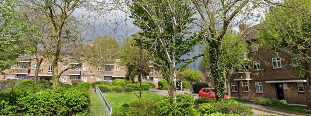
John Newston Court is a large residential estate in Bexley comprising 22 apartment blocks, each containing six flats. The estate was entering a major refurbishment programme that included new roofs, external wall insulation, upgraded windows and the installation of new communal heating systems. To support the design and planning of these works, the client required accurate and comprehensive survey data across the entire site — covering not only the building footprints, but also all external elevations, communal floor plans, surrounding roads and shared external areas.
Terrain Surveys were appointed to deliver a coordinated package of topographical survey data and detailed measured information to provide the project team with a reliable baseline for design, specification and construction planning. With the works scheduled around tight programme constraints, the emphasis was placed on rapid site capture, accuracy and prompt delivery of drawings.
Survey
Terrain Surveys mobilised a specialist team to carry out the topographical and measured building surveys across the estate over a two-day period. Laser scanning technology was deployed to enable rapid, high-density data capture across the site, ensuring that building facades, communal spaces, roads and landscaped areas were recorded efficiently while minimising time spent on site.
All 22 blocks were surveyed externally, with full elevation data captured to support the proposed roof replacements, insulation upgrades and window installations. Communal internal areas were also surveyed to produce accurate floor plans for circulation routes and shared spaces. In addition, the surrounding highways, footpaths and open areas across the estate were included within the topographical scope to support the design of the new communal heating infrastructure and associated external works.
The captured point-cloud data was processed by Terrain’s in-house CAD technicians, who produced a full suite of drawings including site plans, topographical outputs, communal floor layouts and a total of 32 building elevations. The workflow was carefully managed to maintain programme certainty and meet the client’s requirement for an accelerated turnaround ahead of the Christmas period.
Results
The client received a complete and coordinated drawing package that provided a clear, accurate record of existing site conditions across the entire estate. With 32 elevations and detailed floor plans delivered alongside the topographical survey outputs, the design team was able to progress refurbishment proposals with confidence — supported by reliable dimensional information for façades, rooflines, road layouts and communal spaces.
By completing the fieldwork in just two days through the use of laser scanning, Terrain Surveys reduced site time while maintaining the level of detail required for a complex, multi-block residential environment. The rapid mobilisation and in-house drawing production meant that all deliverables were issued before Christmas, allowing the client to maintain momentum on the project programme and move into the next design phase without delay.
The surveys now form a critical foundation for the estate’s upgrade works, enabling coordinated planning of building improvements and new heating infrastructure while minimising risk during construction and supporting long-term investment in the residential development.


