Overview
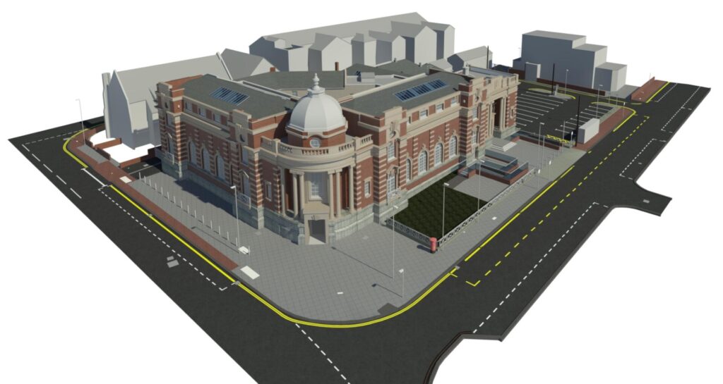
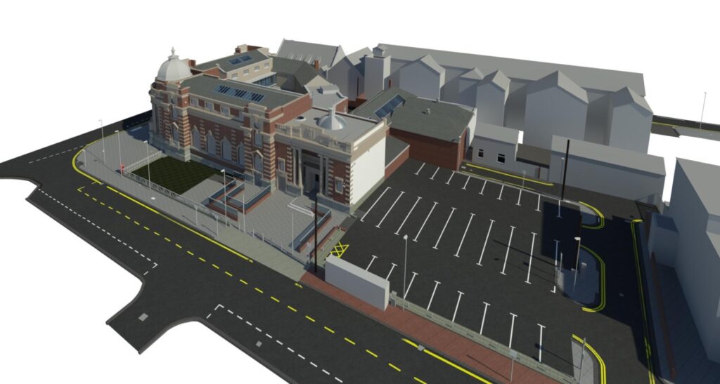
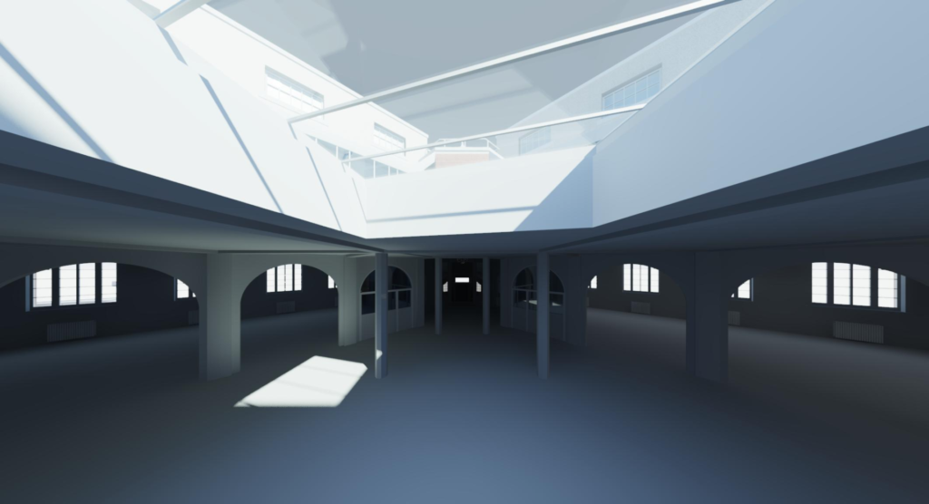
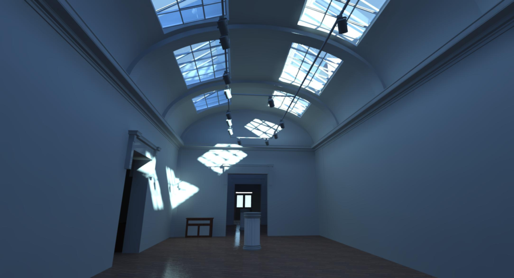
Terrain Surveys were delighted to undertake this BIM-ready 3D Revit Model at the Grundy Art Gallery in Blackpool, Lancashire. Built in 1911, this Grade II listed building, which is notable for both its Edwardian architecture and its eclectic artwork, sits in the very heart of Blackpool and is owned and operated by Blackpool Town Council. As well as the 3D Revit Model, we were pleased to undertake a topographical survey and utility survey for our Client, architecture practice Ellis Williams (Manchester).
The Challenge
As well as the Art Gallery, ‘The Grundy’ is home to the town’s Central Library, and the site was to remain operational throughout the survey, with the team working to ensure minimal disruption to staff and visitors.
Terrain Surveys boasts many years working with the culture and heritage sector and fully appreciate the need for accuracy and care when surveying these beloved community assets, which was certainly the case on this project.
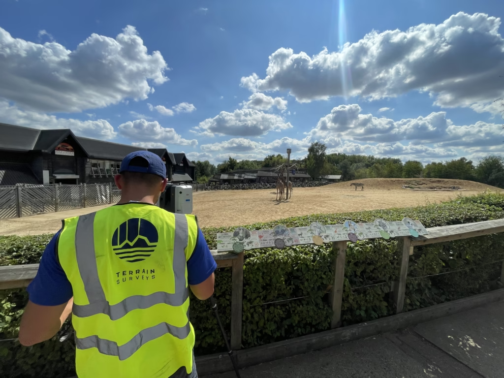
We were provided with a specification by our Client, which detailed the Level of Detail required, and, with the aid our state-on-the-art 3D laser scanner, we began measuring all elements, both internal and external, of this much-loved cultural centre.
There were differing LoD requested across the site, with the Client requiring the highest LoD (LoD 3) externally, meaning we were to model the many ornate features of the historic building, such as the detailed stonework, as well as the road design and road markings. Internally, the Gallery was also modelled to LoD 2.
A PAS128 Utility Survey was also requested, and we were pleased to instruct Amethyst Surveys to undertake this.
The Result
The modelling process took our in-house Revit technicians circa 40 days to complete, and we were pleased to deliver both the 3D Revit model and topographical survey within the agreed timescale and budget.
Should you be an architecture practice in need of a 3D Revit model, topographical survey or PAS128 Survey, do not hesitate to contact Terrain Surveys.
