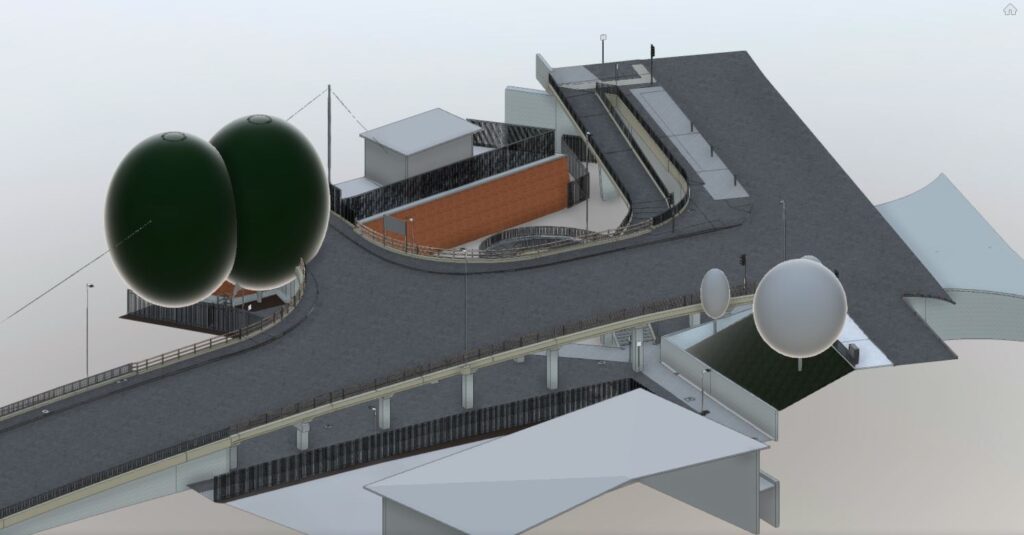
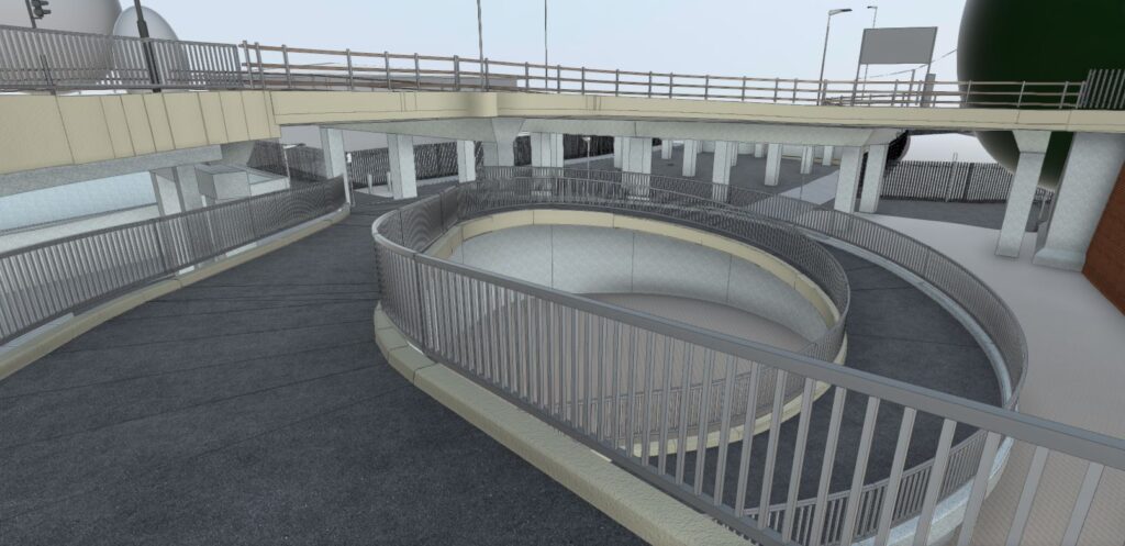
Our valued client approached us for a detailed measured survey of a pedestrian underpass in central London. Initially, the client requested a series of 2D deliverables, including a topographical survey, floor plans, sections, and elevations. After further consultation, we decided to produce a detailed 3D Revit model of the site instead of the originally requested 2D CAD package. This decision was due to the site’s complex shape, which included curves, projections, and recesses at two different levels. Presenting this information as 2D deliverables would have resulted in a vast number of drawings, making the process labour-intensive and challenging to manage. Creating an accurate 3D Revit model of the site proved to be the most cost-effective and user-friendly solution for our client.
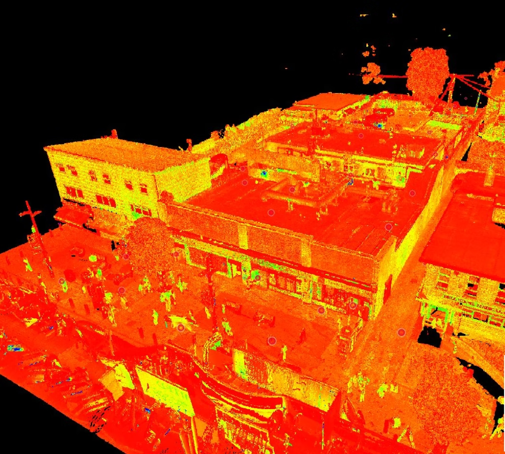
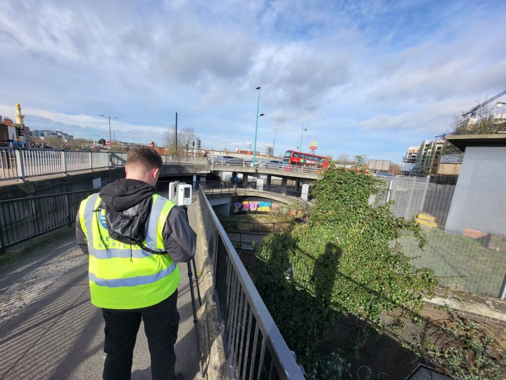
The site work was completed over two days using a combination of total station and GNSS observations, as well as 3D laser scanning. This equipment combination ensures accurate and efficient data capture, which is essential when working in busy and exposed areas.
The resultant data was processed using specialist software at our head office to produce an accurate 3D point cloud of the survey area. This data was then imported into Revit, where our in-house modelling team built the detailed 3D Revit model.
If you have a project which requires an accurate measured survey, please contact us and we will be happy to discuss how we can assist.


