Overview
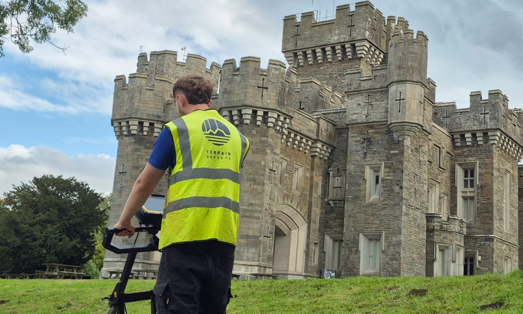
Terrain Surveys was appointed to undertake a comprehensive PAS128 utility survey across the grounds of Wray Castle in the Lake District, providing essential below-ground information to support plans for a new sewage treatment system.
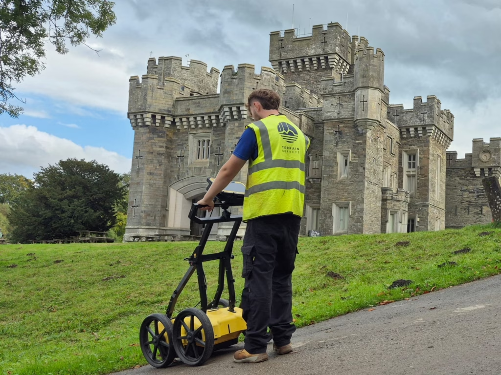
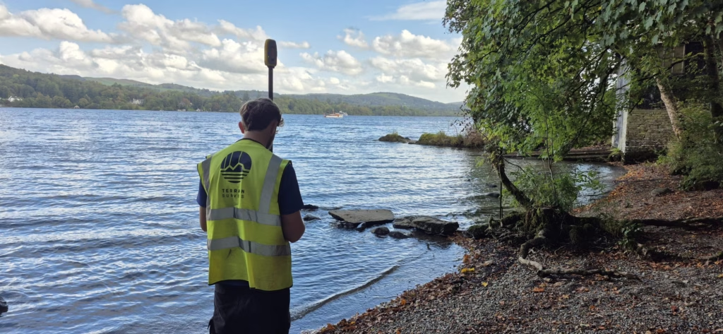
Set on the western shore of Windermere, Wray Castle is an impressive Gothic Revival property surrounded by extensive parkland, woodland and lakeside scenery. The National Trust is currently undertaking a wider programme of restoration and infrastructure improvements at the site, including plans to replace the existing sewage treatment plant with a more modern and efficient system.
With Wray Castle located within the sensitive Windermere catchment, understanding the existing underground infrastructure was an important first step in supporting these works. Terrain Surveys was therefore commissioned to map utilities across approximately 112,000m² of the castle grounds, helping the project team plan future construction with a clear understanding of existing services and potential constraints.
The scale, setting and historic significance of the site made accurate utility information particularly important, ensuring that proposed works could progress with greater confidence while respecting the surrounding environment and existing estate infrastructure.
Survey
Following instruction, Terrain Surveys mobilised quickly to meet the client’s programme and deployed an experienced utility survey team to the site for five days.
A full PAS128 utility survey was undertaken using a combination of Electro-Magnetic Location (EML) and Ground Penetrating Radar (GPR). Using both technologies enabled our surveyors to investigate detectable metallic and non-metallic services across the extensive survey area and build a comprehensive picture of the buried infrastructure.
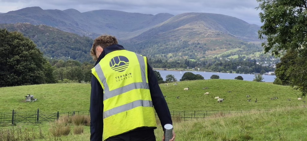
Working across more than 112,000m² of varied countryside and landscaped grounds presented a very different environment from many of our urban utility surveys. Careful planning was required to efficiently cover the large area while capturing the level of information needed by the project team.
The resulting survey data was processed by Terrain Surveys’ in-house team to produce detailed utility drawings showing the location and alignment of detected services throughout the survey area.
Results
The completed PAS128 survey provided the client with a comprehensive as-built utility drawing covering approximately 112,000m² of the Wray Castle estate. This gave the project team a clear understanding of the detectable below-ground infrastructure across the grounds, helping identify existing services, potential conflicts and key constraints before construction begins.
The survey data now provides an important foundation for the planned replacement of the existing sewage treatment plant with a more modern and efficient system, supporting the wider programme of restoration and infrastructure improvements being undertaken at Wray Castle.
By combining rapid mobilisation with experienced utility surveyors and the use of both EML and GPR, Terrain Surveys was able to deliver the required information within the client’s programme despite the scale and complexity of the site.
The resulting dataset will help the project team plan the new treatment works with greater confidence, reduce risk during construction and support the long-term management of infrastructure within this sensitive and historically important Windermere setting.