Detailed floor plans and elevations were produced from 3D laser scannned pointcloud files for each of the individual school buildings. This non-contact, accurate and efficient method of surveying digitally captures the shape of physical objects. Once the pointcloud information has been captured, the data can then be used as and when required, to produce 2D CAD drawings or models. As well as the CAD drawings, the pointcloud files were also delivered for possible 3D modelling of the school buildings in the future.
All 3D laser scanning survey work was carried out by the Terrain Surveys team with minimal disruption to the running of the schools, with out of hours access arranged for sensitive schools areas.
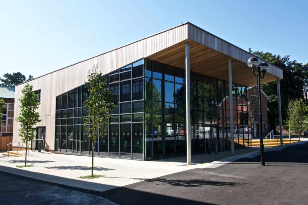
3D laser scanning projects
These projects are the latest of many school surveys Terrain have undertaken throughout the UK, including other Primary School Expansion schools in Hertfordshire and Brent and Priority School Building Programme (PSBP) secondary schools in the North East and North West of England.
For more information about our survey services, please contact us on 01438 841300.