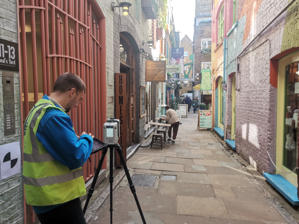
Why Accuracy Matters in Worcester
From medieval streets and riverside properties to modern developments, Worcester presents challenges that demand reliable data. A measured building survey provides precise drawings and models that form the foundation for design, planning, and construction. Whether you’re an architect, developer, or homeowner, accuracy is the first step towards a successful project.
From Homes to Heritage — What We Deliver
Every survey is shaped around the building and its purpose. In Worcester, that might mean:
- Scaled floor plans, elevations, and sections for planning and design
- 3D Revit/BIM models to integrate into digital workflows
- Point cloud datasets for in-depth building analysis
- Flexible outputs in DWG, PDF, RVT, and more
This flexibility ensures both professionals and private clients receive exactly what they need.
Standards That Protect Your Project
Surveying in Worcester demands compliance with strict standards. Terrain Surveys can achieve typical precision of ±5 mm, using 3D laser scanning and total stations. Every survey is aligned with RICS and TSA guidance, giving peace of mind that drawings will satisfy planning authorities, developers, and contractors.
Who Benefits in Worcester?
- Architects designing refurbishments or extensions
- Developers managing commercial and mixed-use schemes
- Local authorities overseeing schools, healthcare, and civic buildings
- Homeowners who need accurate drawings before planning extensions, loft conversions, or renovations
No matter the scale, reliable base data reduces risk and saves time.
Tools and Techniques We Use
Our Worcester team employs:
- 3D laser scanners to capture millions of points with speed and precision
- Total stations & digital levels for exact height and level data
- Quality assurance checks on every drawing before delivery
This ensures surveys are not only accurate but also consistent across different project types.

Why Choose Terrain Surveys?
- ISO 9001:2015 accredited for quality management
- Members of CICES & TSA
- Fast response and turnaround, even for urgent jobs
- Experience with both historic properties and modern developments
- Nationwide reach with offices strategically placed to cover Worcester and the West Midlands
Worcester in Context — The Bigger Picture
The city is seeing both heritage conservation and modern growth, with demand for digital workflows increasing. Developers are turning to BIM-ready surveys, while homeowners need clear, straightforward plans. Terrain Surveys bridges both worlds, providing 3D Revit models to 2D CAD drawings.
Start Your Worcester Project Today
If you’re an architect restoring a property, a developer planning a new scheme, or a homeowner needing plans for an extension, Terrain Surveys is here to help.
Contact us today for a Worcester measured building survey you can trust.